Home >> Oaxaca >> Río Verde

Río Verde

to the west
Cacalotepec, Oaxaca
Pinotepa Nacional
Playa Corralero
to the north
Santiago Jamiltepec
to the east
Barra de Navidad Colotepec
Huatulco, Oaxaca
Manialtepec, Oaxaca
Puerto Escondido, Oaxaca
  Main Index
Río Atoyac
Río Colotepec
Río Copalita
Río Manialtepec
Río Tonameca
Río Zimatán
Aerial Photos
Archaeology of the Oaxacan Coast
Flight to Puerto Escondido
Indigenous Oaxaca
Regional Map
Visitors' Comments
AboutHomeSearch

The Río Verde drains a large portion of the state of Oaxaca including some of the central valleys. It's tributaries include Río Tataltepec, Río Atoyac, Río Colorado, Río Grande, Río Putla, and Peñoles.

There is a proposal to construct a large dam on the river at Paso de la Reina. Municipalities that would be flooded include Santiago Ixtayutla, Santa Cruz Zenzontepec, Santiago Tetepec, Santiago Jamiltepec, Tataltepec de Valdés and San Pedro de Tuxtepec. Opposition to the project cites the environmental impact on ecosystems including the coastal wetlands, impact on the displaced indigenous population, and the staggering expense to the state of Oaxaca, already one of the poorest in Mexico. Another consideration is the loss of prehispanic archaeological sites in the river valley.

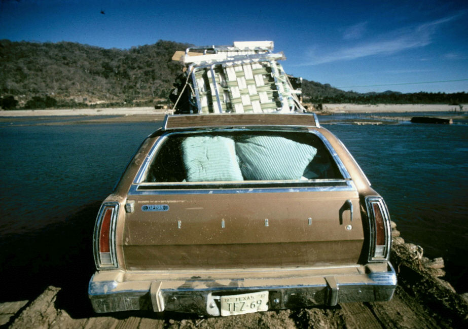
Know something more about Río Verde? Send your info to tomzap.


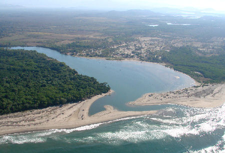
Río Verde empties into the Pacific Ocean at the town of El Azufre.
See more Aerial Photos.


Crossing the Río Verde on the ferry, circa 1972. Photo by Richard Malmed


| Top of page | Main index | Search | What's new |