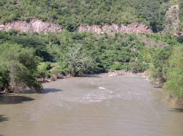
 Río Atoyac at San Pedro Juchatengo. The town is located along the righthand side of the river as seen in this photo. |
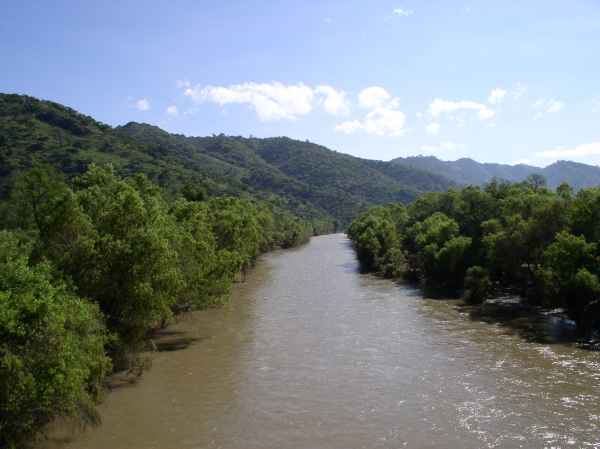
The Río Atoyac flows westward through the Sierra Madre del Sur. Hwy 131 crosses the river at San Pedro Juchatengo, Oaxaca, 105 km (65 miles) north of Puerto Escondido. The Atoyac flows into the Río Verde which empties into the Pacific near Laguna Chacahua, 90 km west of Puerto Escondido. The photos below were taken in October at the end of the rainy season.
|
|