The Point, La PuntaPuerto Escondido, Oaxaca
|
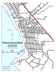 The Point |
|
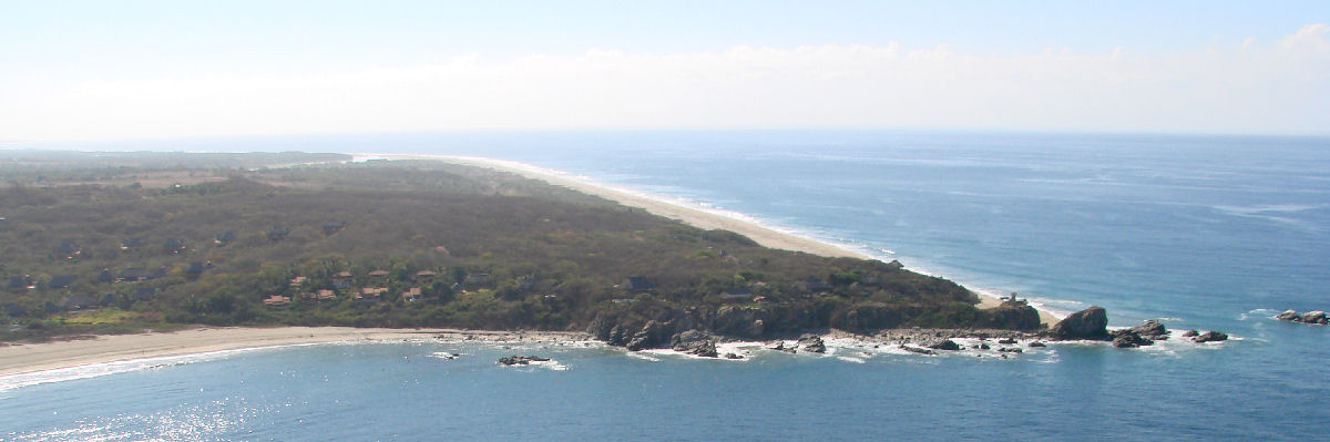
The Point or La Punta refers to the southernmost section of Playa Zicatela and the point of land at the southern end of the beach. Although the northern end of Playa Zicatela is more developed and more popular with tourists, The Point beach area is favored by surfers. The Point beach area features a staffed lifeguard tower and a few palapa restaurants. The rocky outcrop, also referred to as The Point features a lighthouse and a number of homes spread across a wide area.
Accommodations near The Point include: