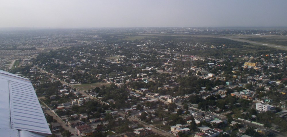
On takeoff from Tampico. Airport at upper right.
Photos are displayed in the order taken.
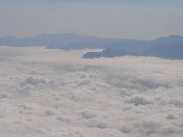
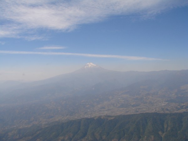
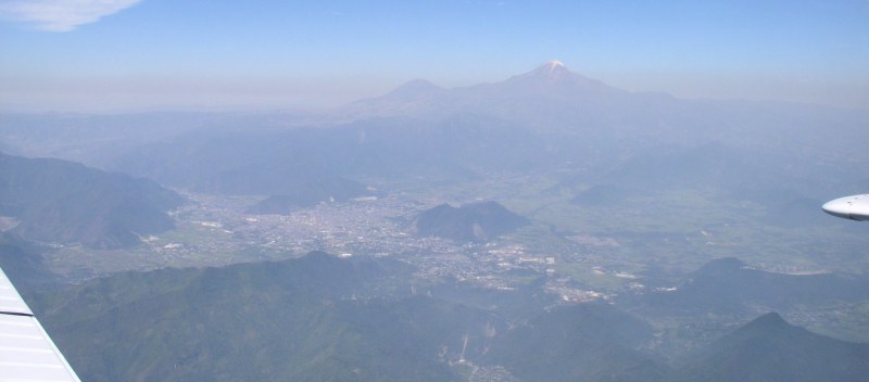
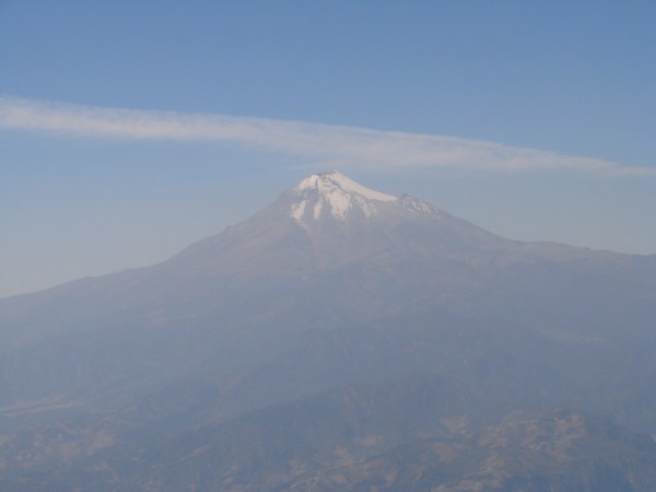 Pico de Orizaba at 18,400', 200 NM into the flight, markes the halfway point. I'll get a better photo on the return flight when I can use the pilot's window. Orizaba is the tallest mountain in Mexico and the 3rd tallest in North America. Even though it is in a tropical location, its peak is normally capped in snow. It's size dwarfs the other mountains and it is plainly visible even from jetliners. The city of Orizaba is in the foreground. The photo was taken from 30 miles away from the volcano. Orizaba is dormant but not extinct. There have been 7 eruptions in recorded history, the last in 1687. |
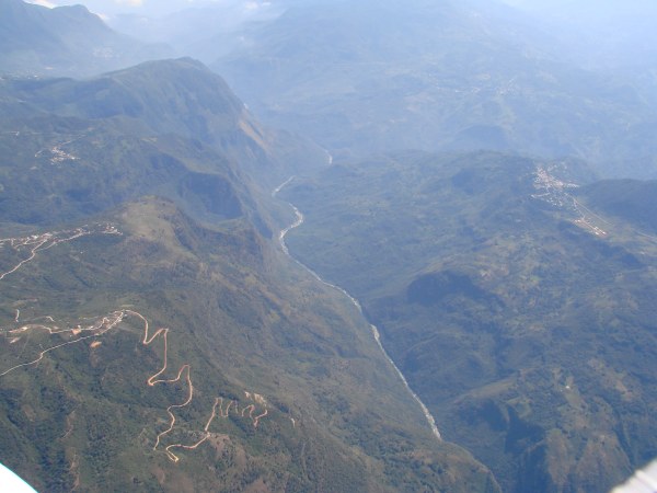
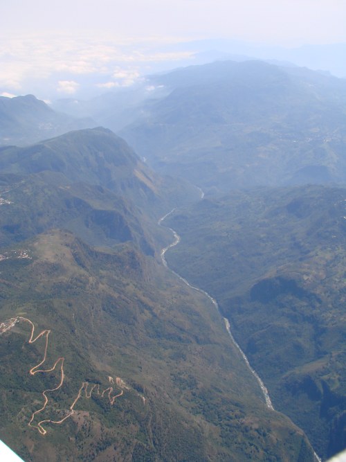
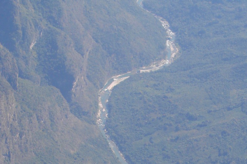
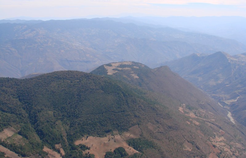
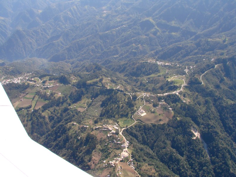
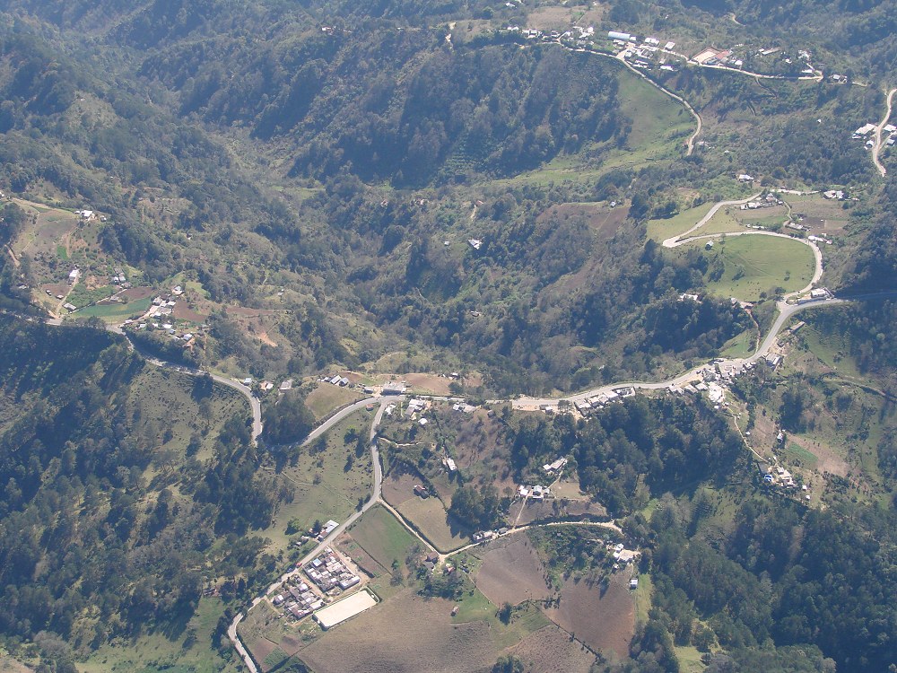
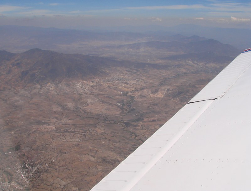
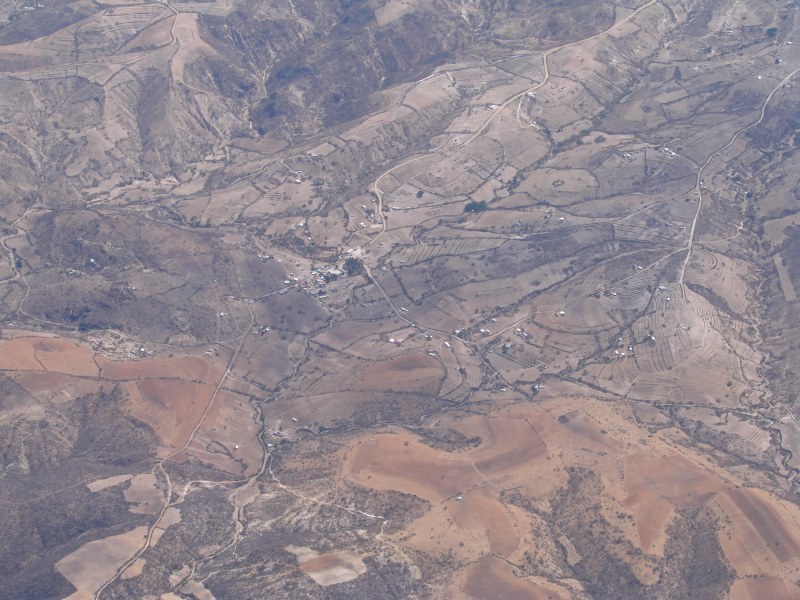
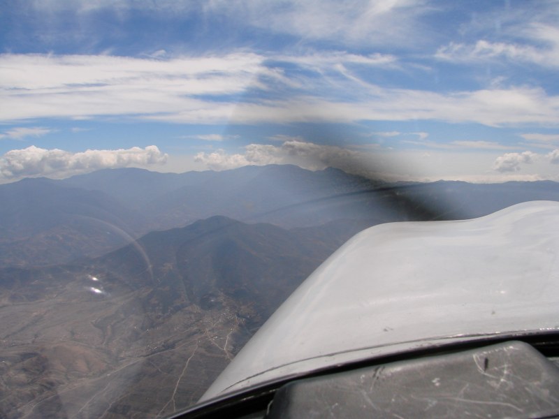
 I'm taking most of these photos out of the small pilot's side window, the edge of which can be seen in this photo. This is a tributary of the Río Grande located about 12 miles east of San Juan Bautista Jayacatlán, Oaxaca. The switchback road crosses tne tributary and leads to the Zapotec village of Santa Ana Yareni (elevation 7500') perched on the hilltop above the center of the photo. |
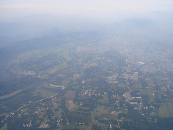
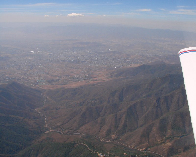 Oaxaca City, with airport at left. Monte Albán is on the dark hilltop above center of photo. Monte Albán was strategically located at the junction of three large valleys in an attempt to unite the different groups of people living there. Highway 175 threads down the valley in foreground. We passed 10 miles east. |
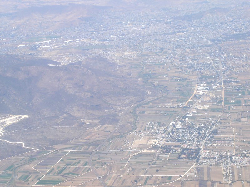
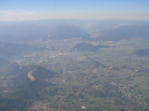
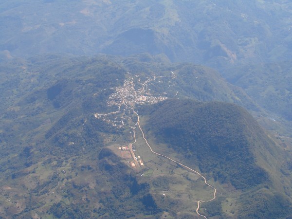
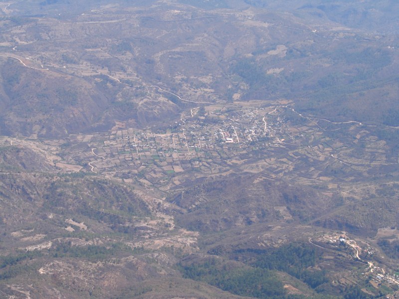
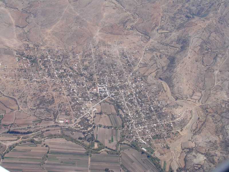
 The towns of Teotitlán del Valle (GPS 17°2'N 96°28'W, altitude 5249'/1600m) at left and Macuilxochitl de Artigas Carranza at lower right, 30 km east of Oaxaca City. |
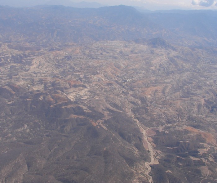
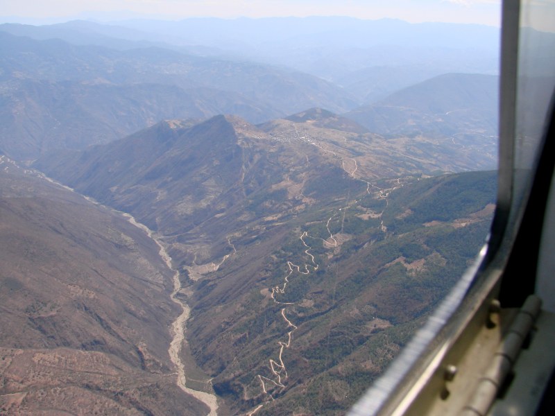
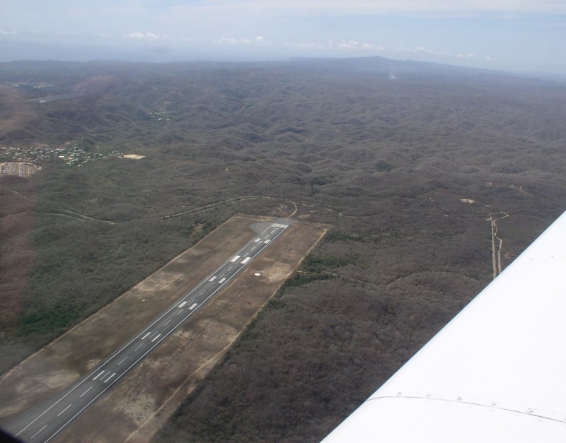
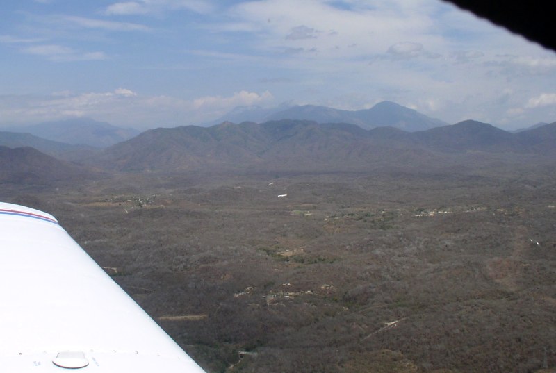
 Approaching the last ridge 23 nautical miles (43 km) north of Huatulco airport. The peak at left is 12,300' (3749 meters). The direct route took us over this ridge. It would be better to deviate to the east to avoid the steep descent into Huatulco. |
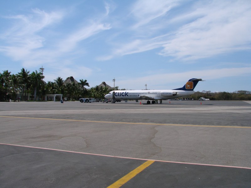
Return to Tampico to Huatulco