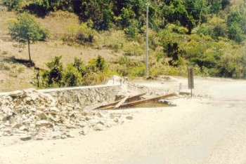
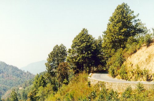
 through the Sierra Madre del Sur. The trip from Oaxaca City to Pochutla, where Hwy 175 intersects with coastal Hwy 200, takes about seven hours. So time-consuming is this route, that busses often take the Hwy 190 route and pass through Salina Cruz, where they continue to Pochutla on Hwy 200. Be prepared for motion sickness on the highway due to the twisting nature of the road.
The best way to travel Hwy 175 is by car, so that you can stop and enjoy the countryside and visit the roadside banana stands where many different types of bananas are offered, as well as other items such as cashew nuts (~km 200). Interestingly, the cashew grows on a fruit that looks like a tomato with a single cashew sticking out the end.
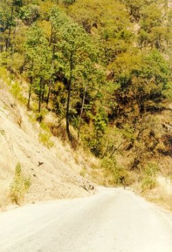
Traveling north from Pochutla, the highway ascends rapidly into the mountains, and the climate changes accordingly. Coffee-growing regions are soon reached. Scuba divers should bear in mind that driving this highway after diving is equivalent to flying after diving--you will reach an altitude of 8000' within two or three hours, the same altitude to which airline cabins are pressurized.
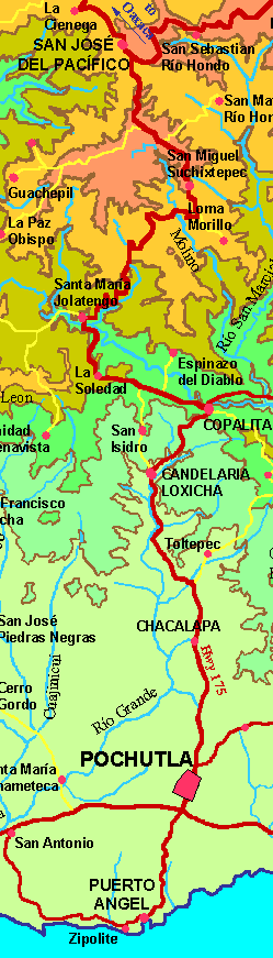
The Sierra Madre del Sur mountains are subject to heavy rainfall during the rainy season in most years. The damage is so widespread that the highway is almost always in some state of disrepair. You can check the current condition of Hwy 175 by calling the Rayito de Sol restaurant (9)572-0111 in San José del Pacífico, Oaxaca, a midpoint along the route. Do not drive the highway at night. Damaged areas are difficult to see at night; you will have to drive slower, thus taking more time; the area is sparsely populated and it will be difficult to get help if you need it; it can get very cold at night; and you'll miss the beauty of the trip. There are not many good places to spend the night along the highway. About the only town with nice hotels is San José del Pacífico.