Home >>
Oaxaca >>
Huatulco >>
Flight to Huatulco >>
Photographing the Playas >>
Playas of Oaxaca
< Tomatal |
Santa Elena |
Barra El Potrero >
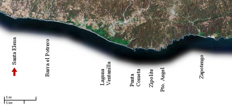
I began this photo-taking flight by flying to Santa Elena, which is 14 miles east (along the coast) from Puerto Escondido, turning around and taking photos on the way back.
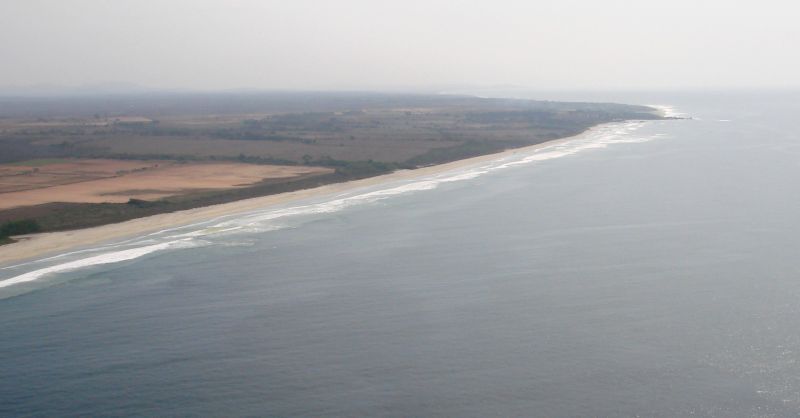
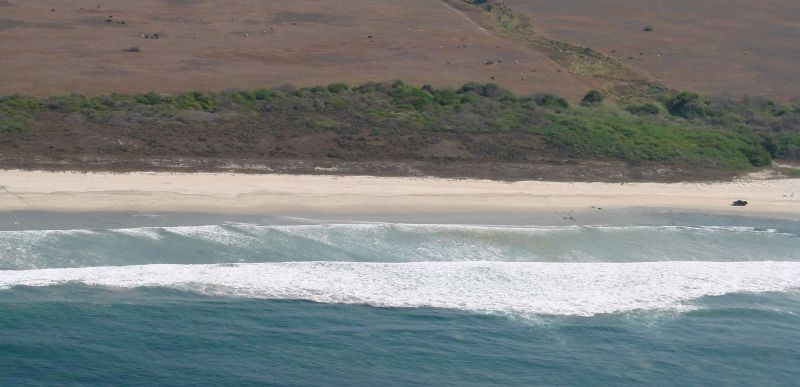
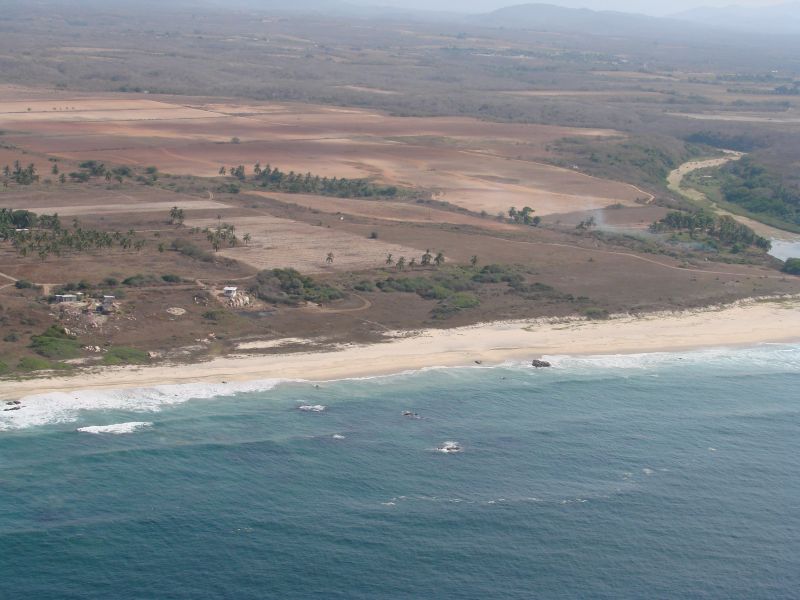
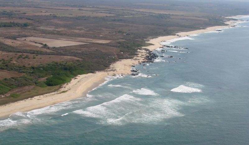
The coastline around Santa Elena
There was very little wind on this morning flight but this area looked like it might be surfable.
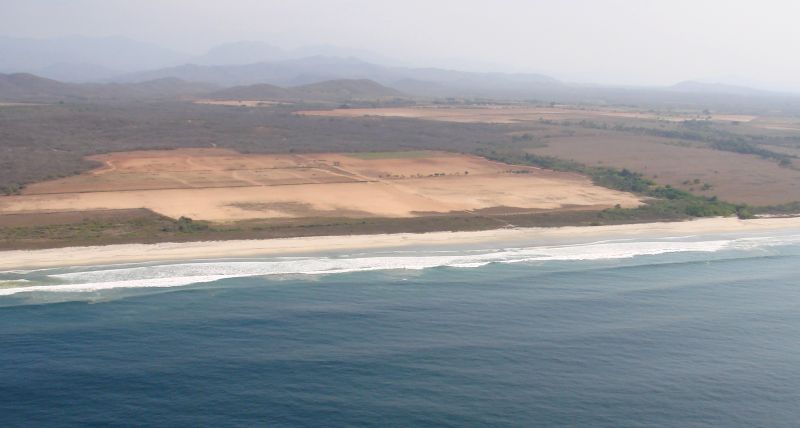
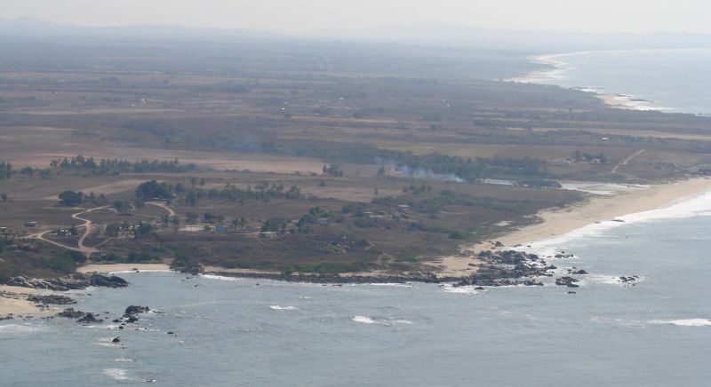
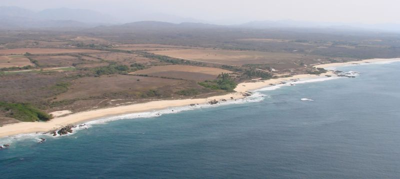
A mile west of Santa Elena
A mile west of Santa Elena
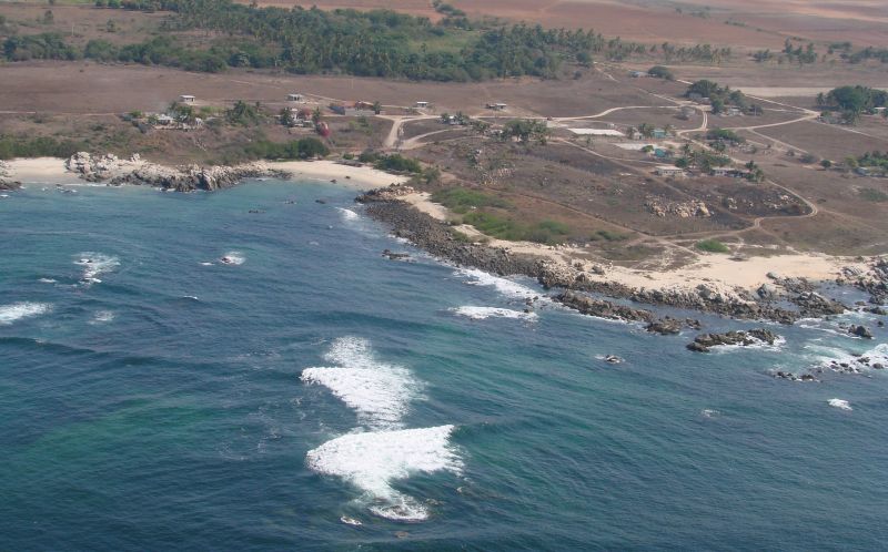
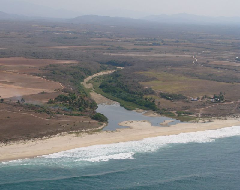
Santa Elena with the Río Valdeflores in the background
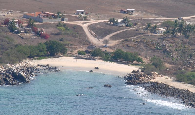
Santa Elena
A wider-angle shot of the above
Santa Elena with the Río Valdeflores at right
Río Valdeflores
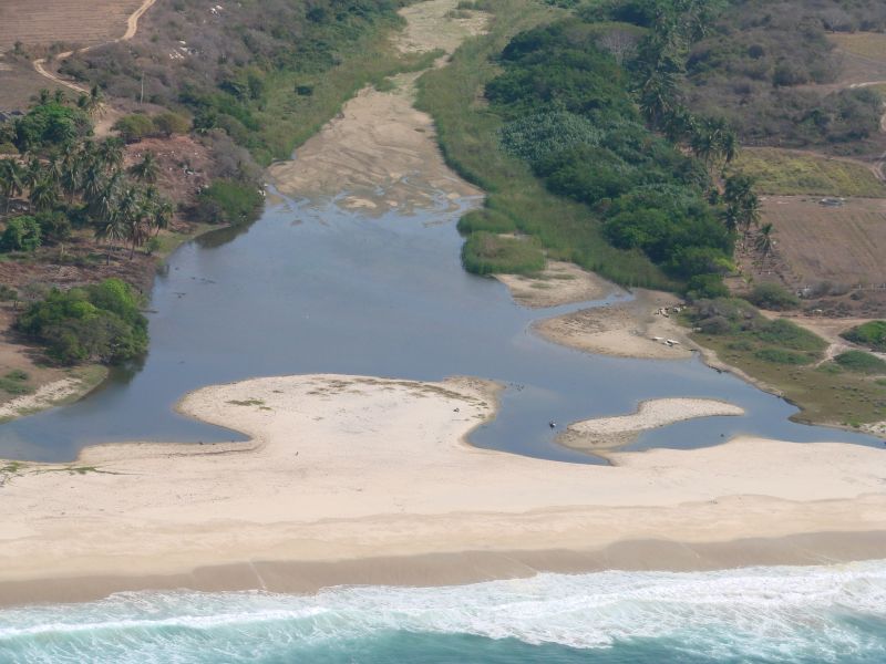
Río Valdeflores
A homestead at the Río Valdeflores
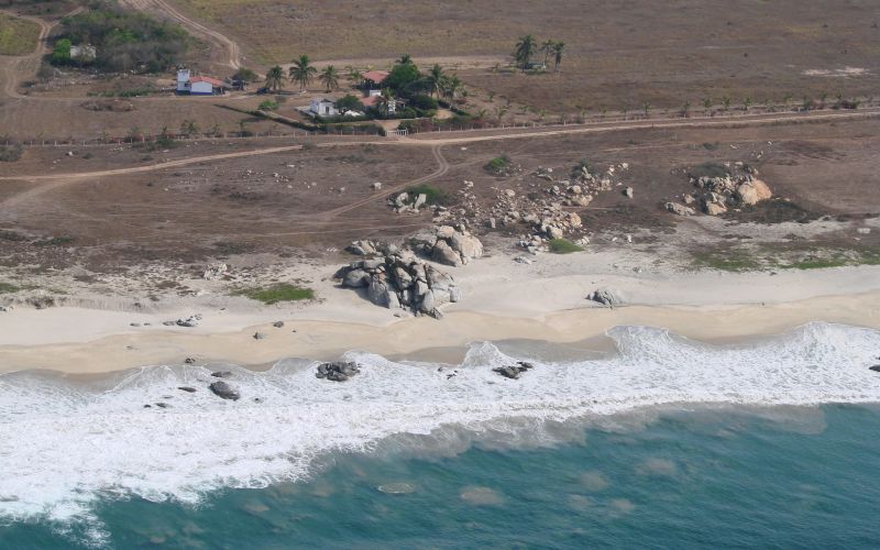
East of Santa Elena
Barra El Potrero
< Tomatal |
Santa Elena |
Barra El Potrero >
|
Top of page |
Photographing the Playas |
Main index |
Search |
What's new |