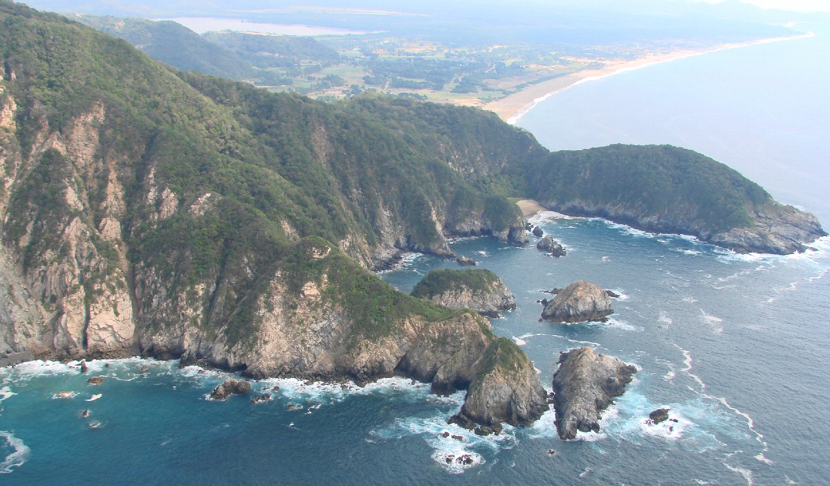
Playa de Cocos comes into view in background
|
Playa de Cocos comes into view in background
Playa de Cocos at right. The Jalisco/Colima state line lies at the end of the beach just behind the terrain according to Google Maps, with Playa de Cocos in the state of Colima. Do the two
small beaches in the foreground have names? tom@tomzap.com
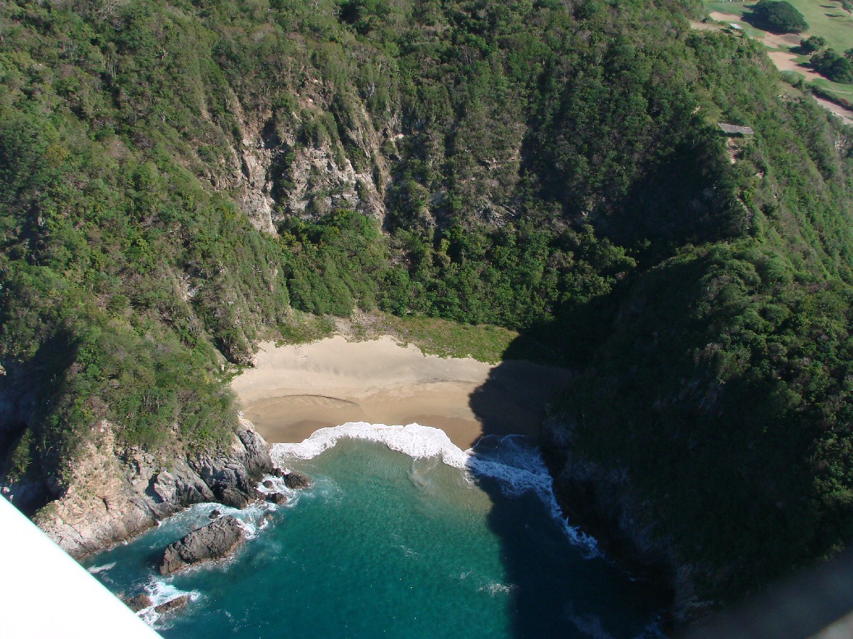
A closer look at the first small beach
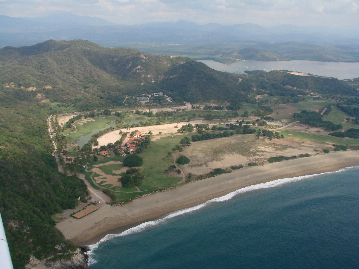
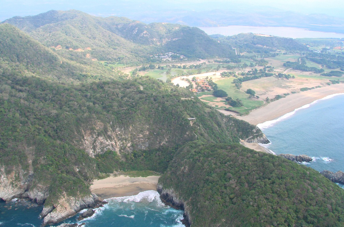
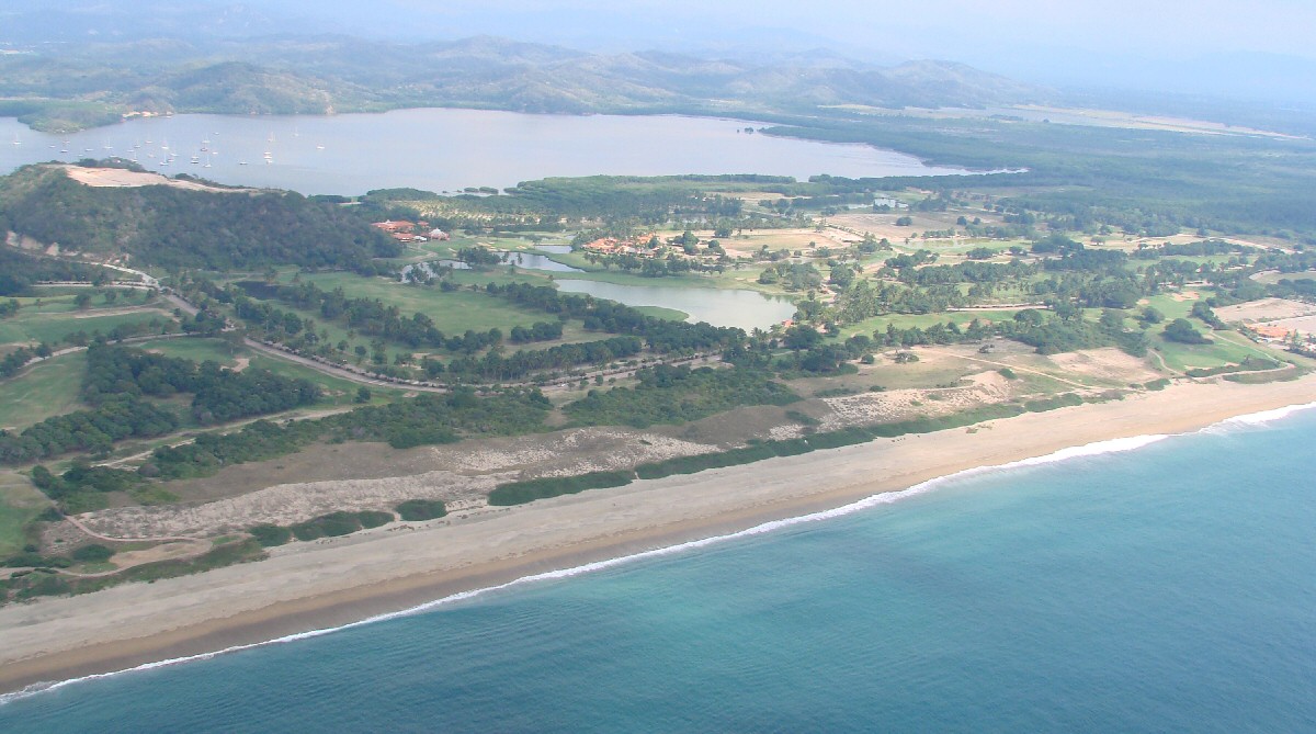
Golf course at Grand Bay Hotel
More detail
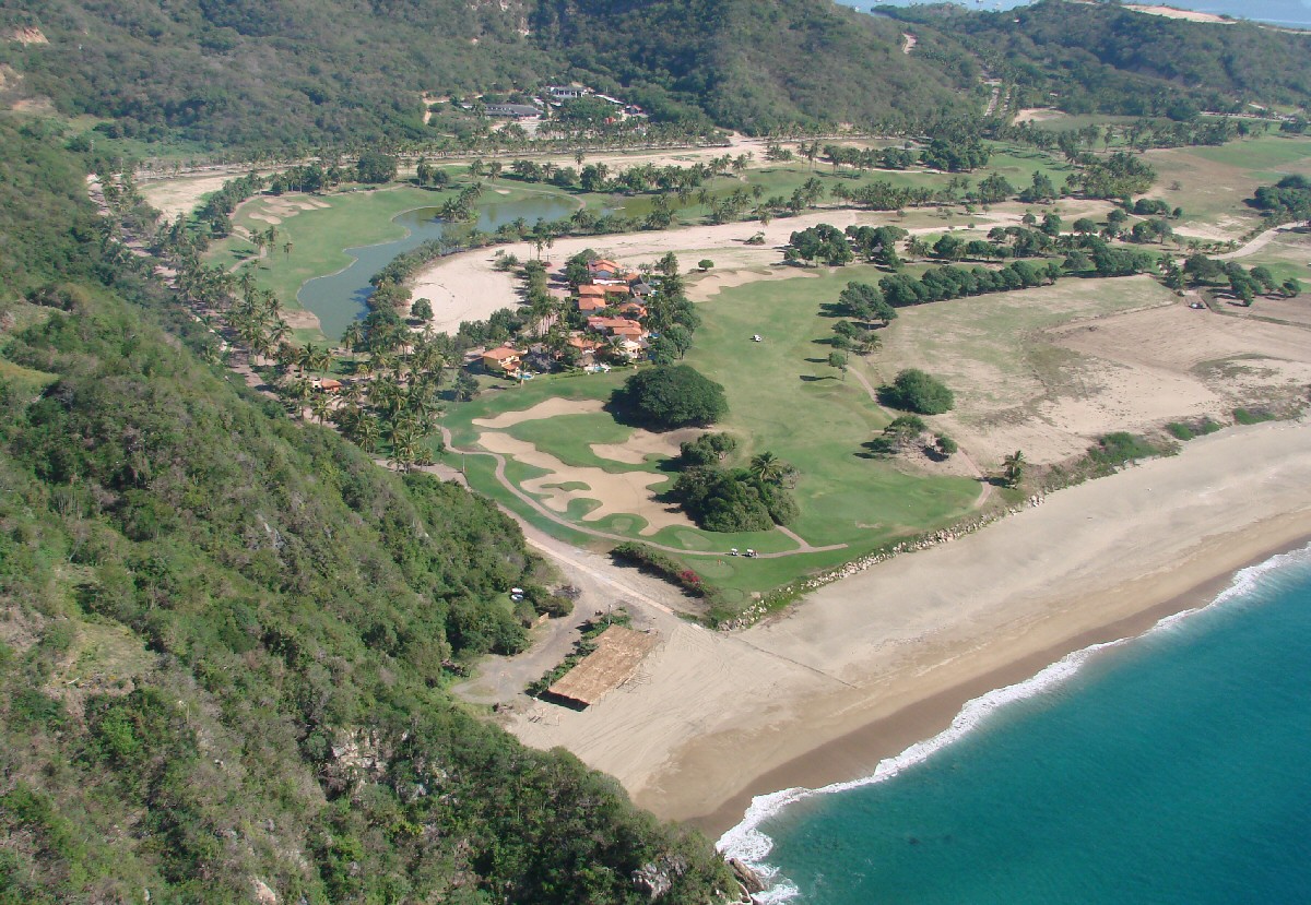
A closer look at the golf course
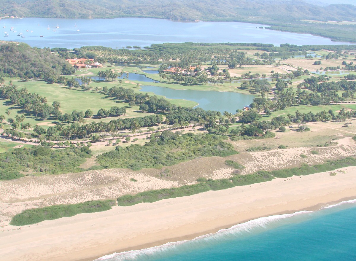
More detail
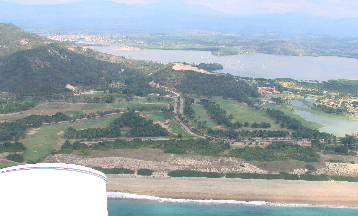
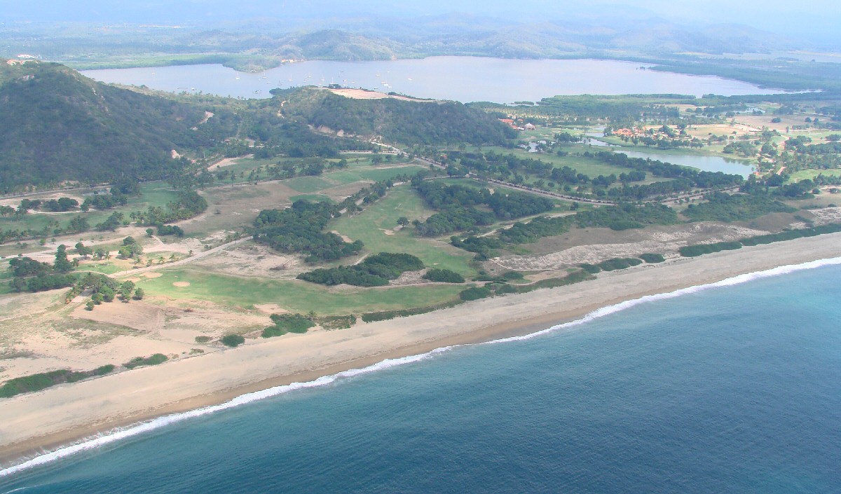
Barra de Navidad can be seen in the background at left
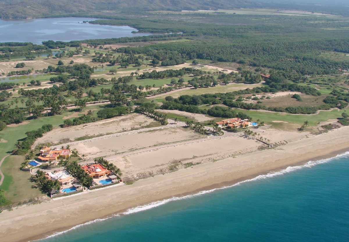
photo 07
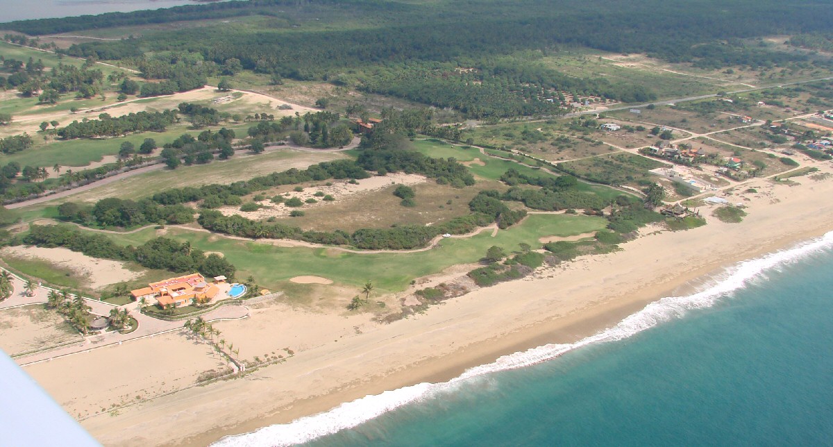
photo 08
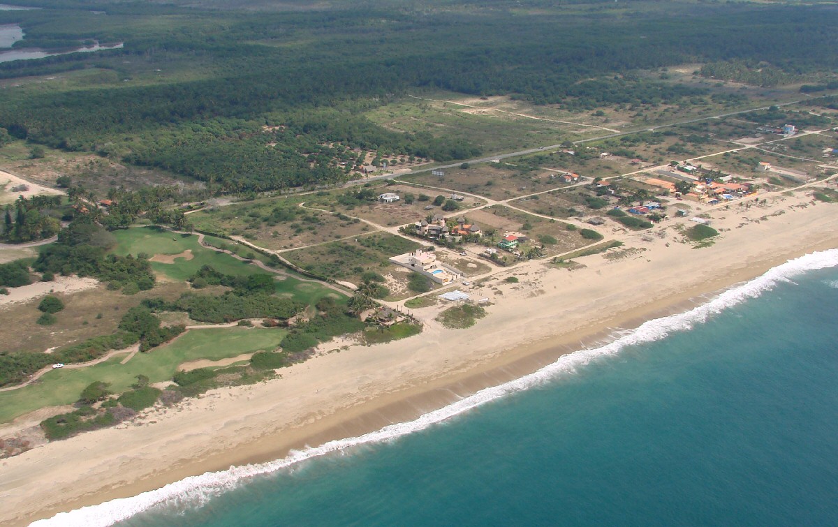
photo 09
photo 10
photo 11
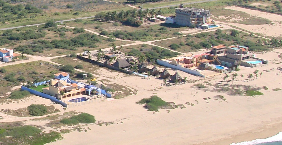
photo 13
photo 14
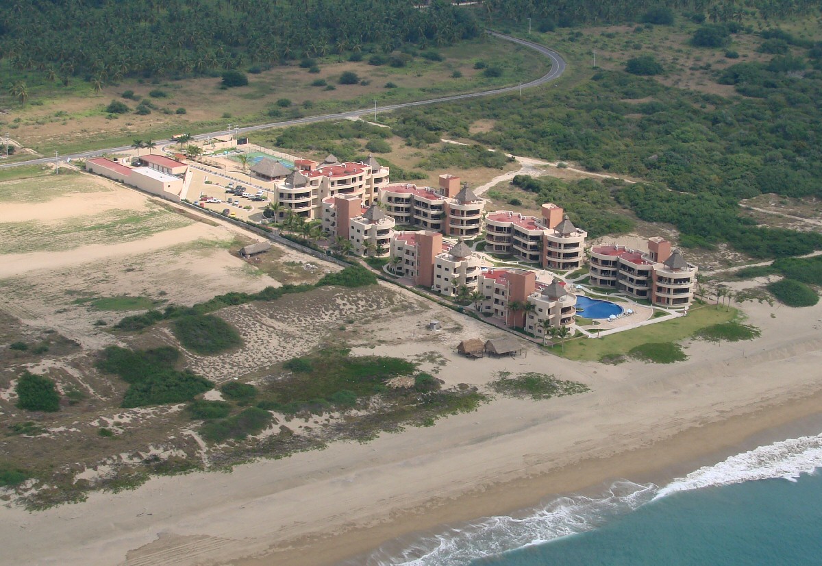
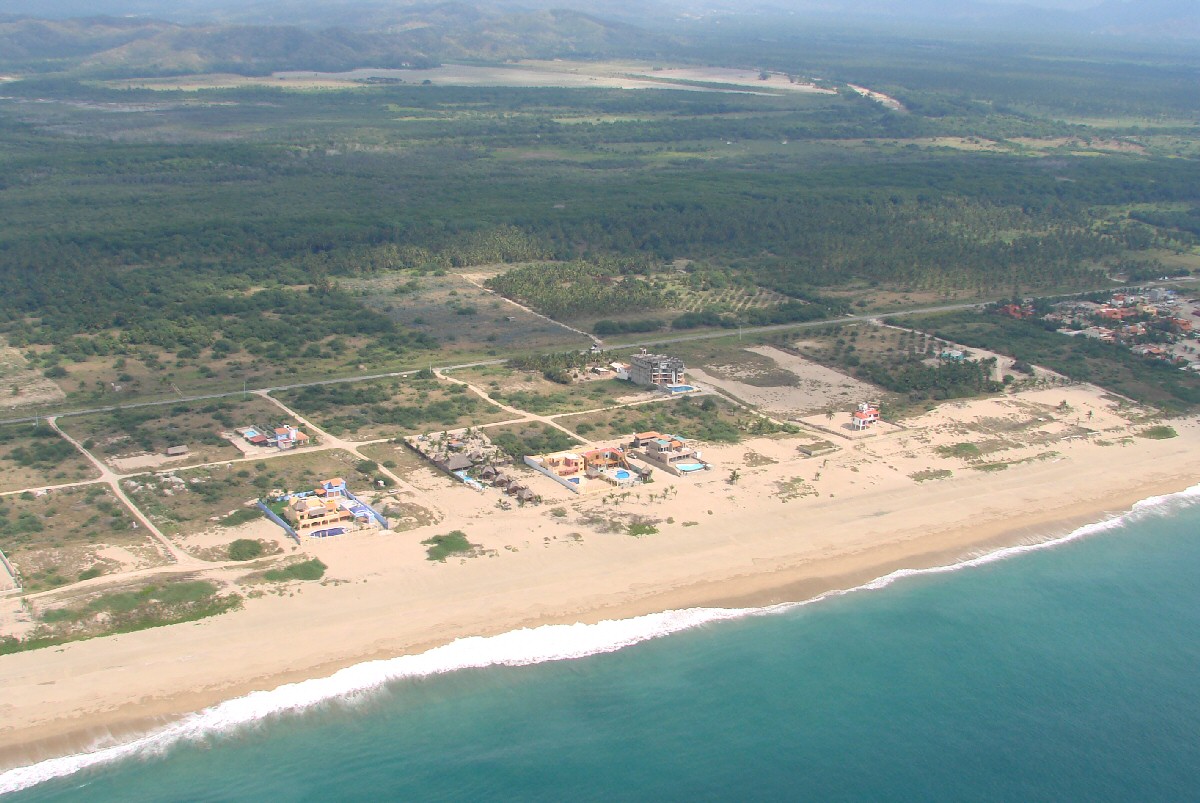
Playa Grande Condominiums
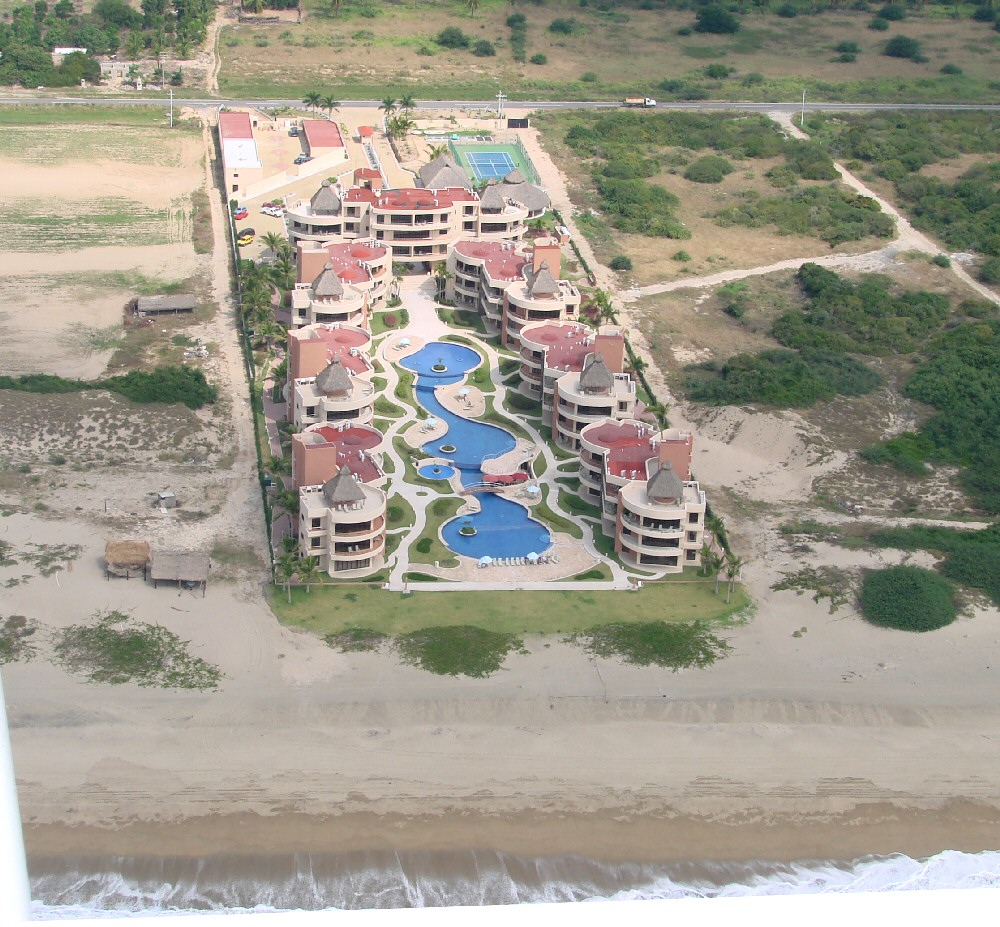
Playa Grande Condominiums
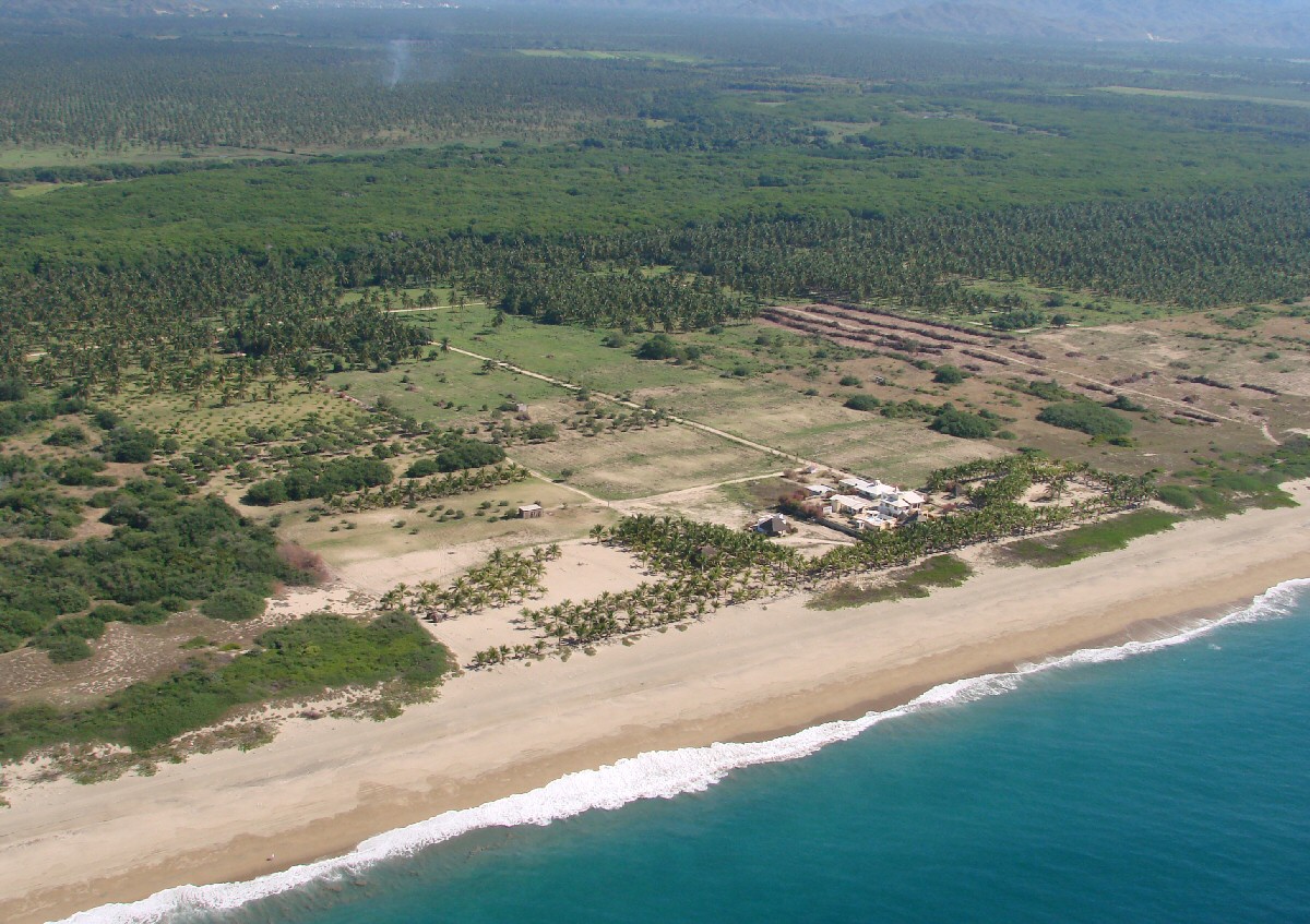
photo 17
photo 18

photo 19
photo 20
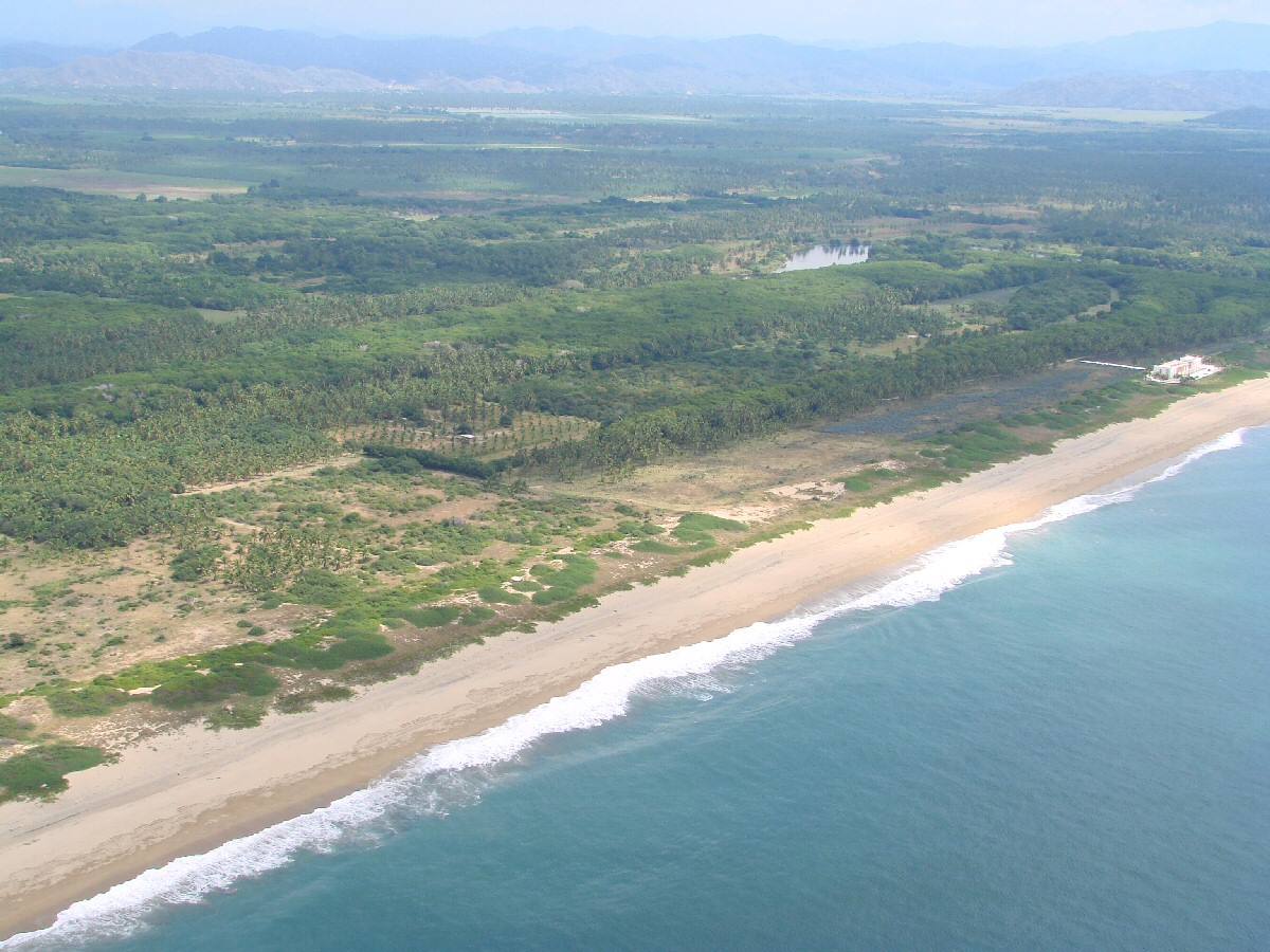
photo 21
photo 22
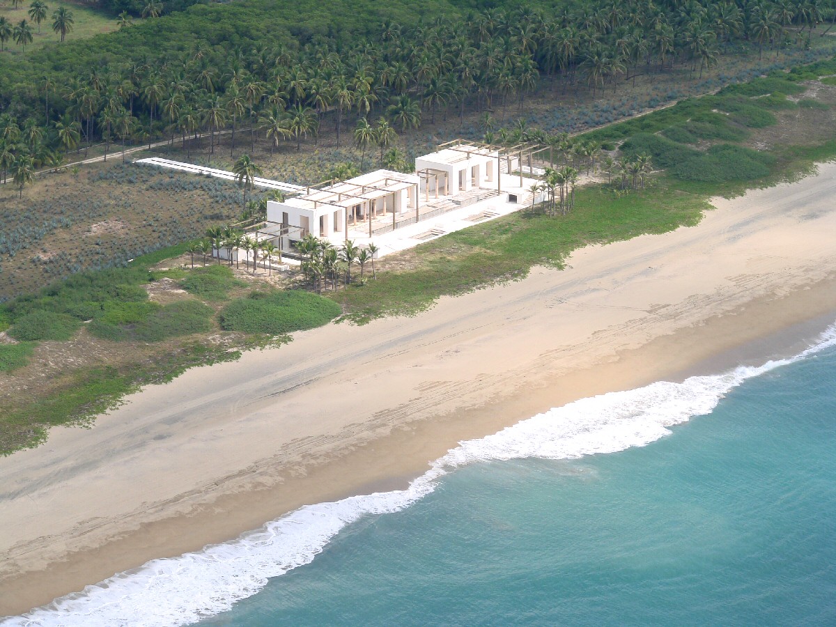
A closer look at beach house