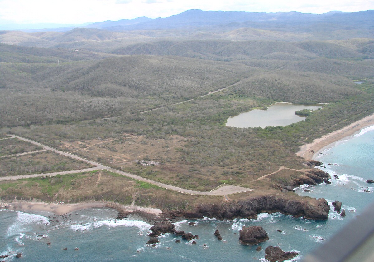
Bahía Chamela with Hwy 200 in background
Bahía Chamela with Hwy 200 in background
a closer look
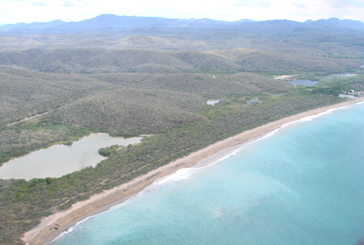
Chamela
Chamela
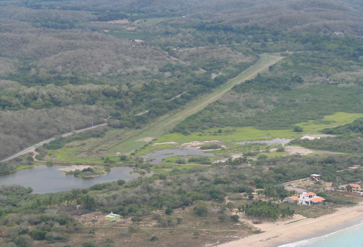
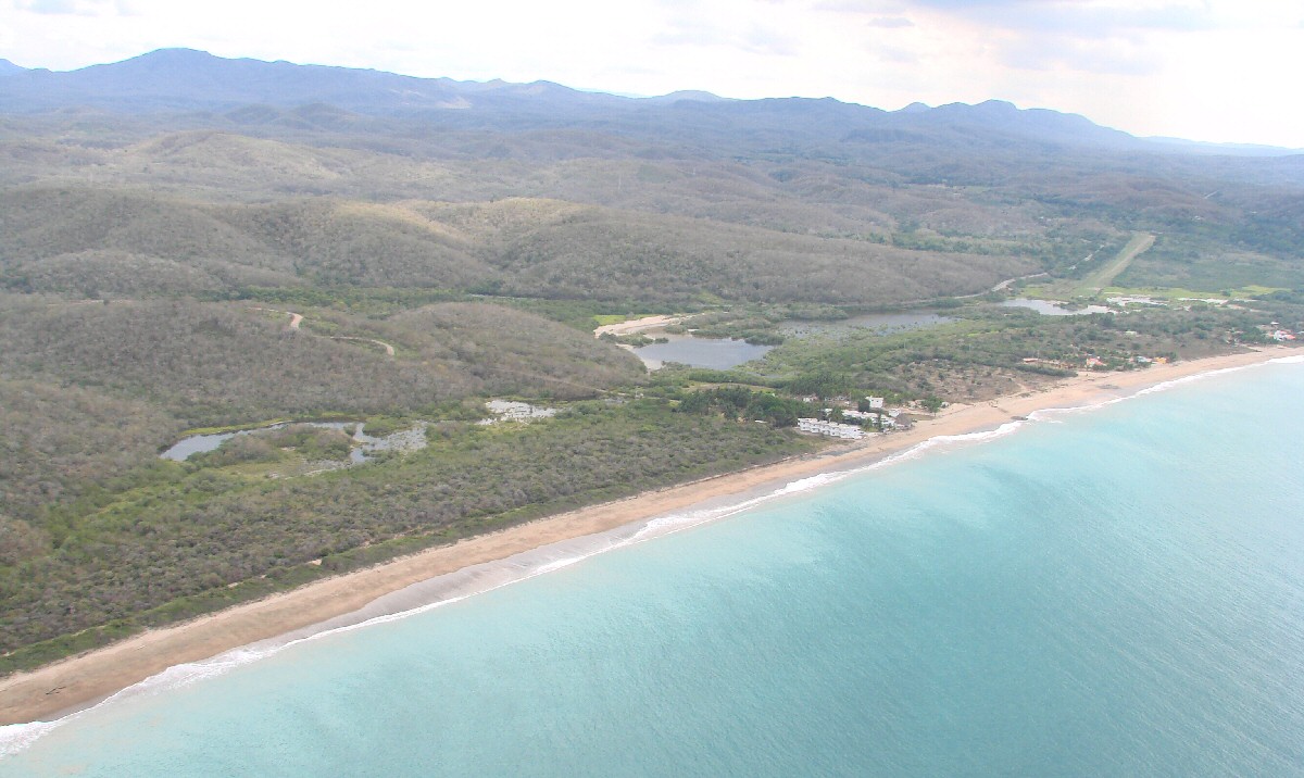
Grass airstrip at Chamela
Chamela
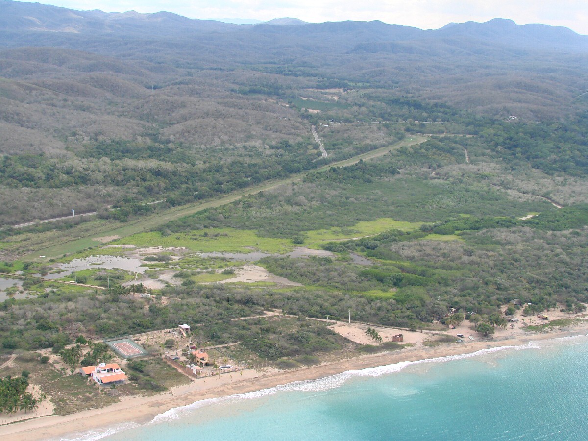
Grass airstrip at Chamela
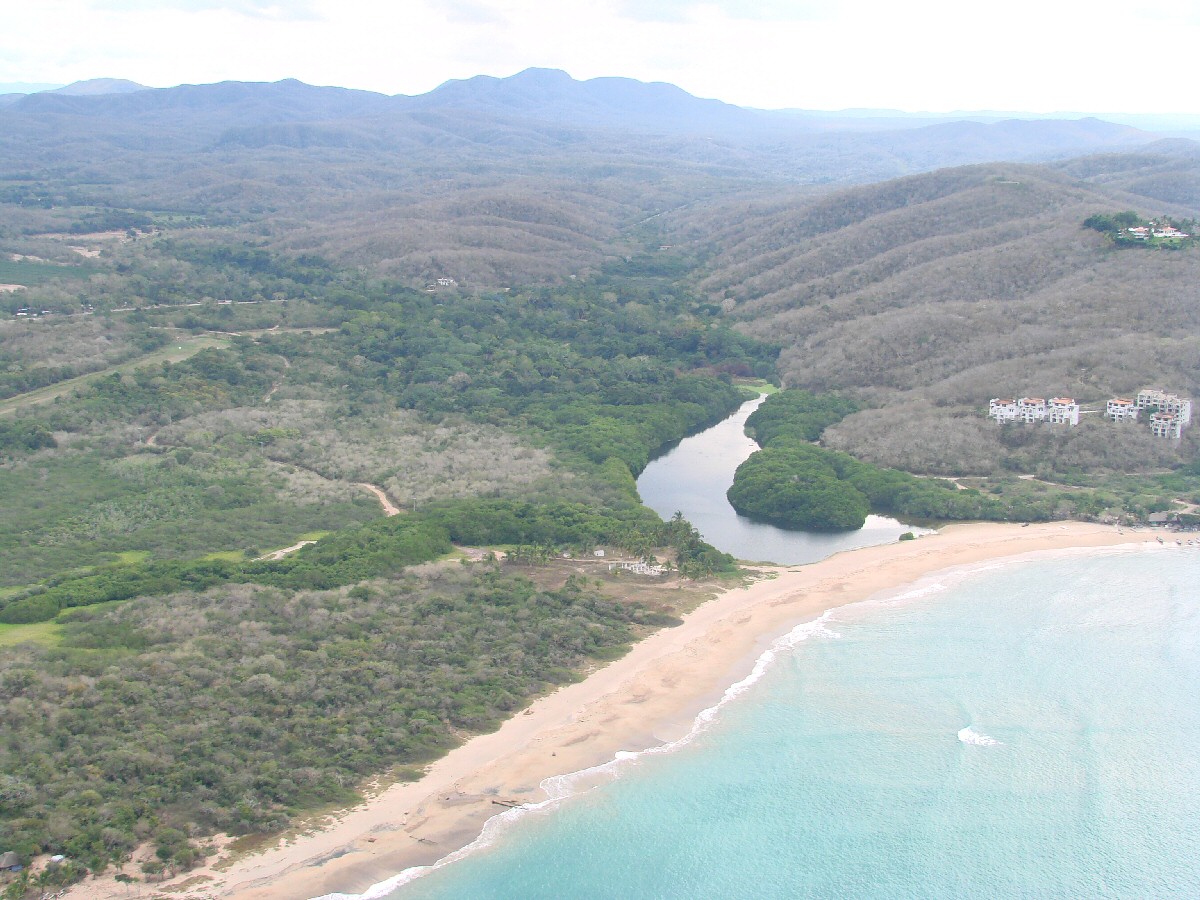
Río Chamela
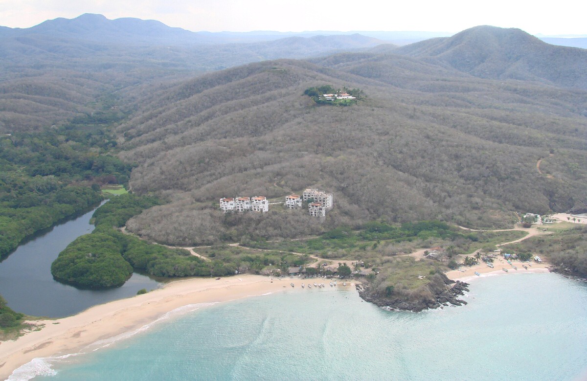
Río Chamela
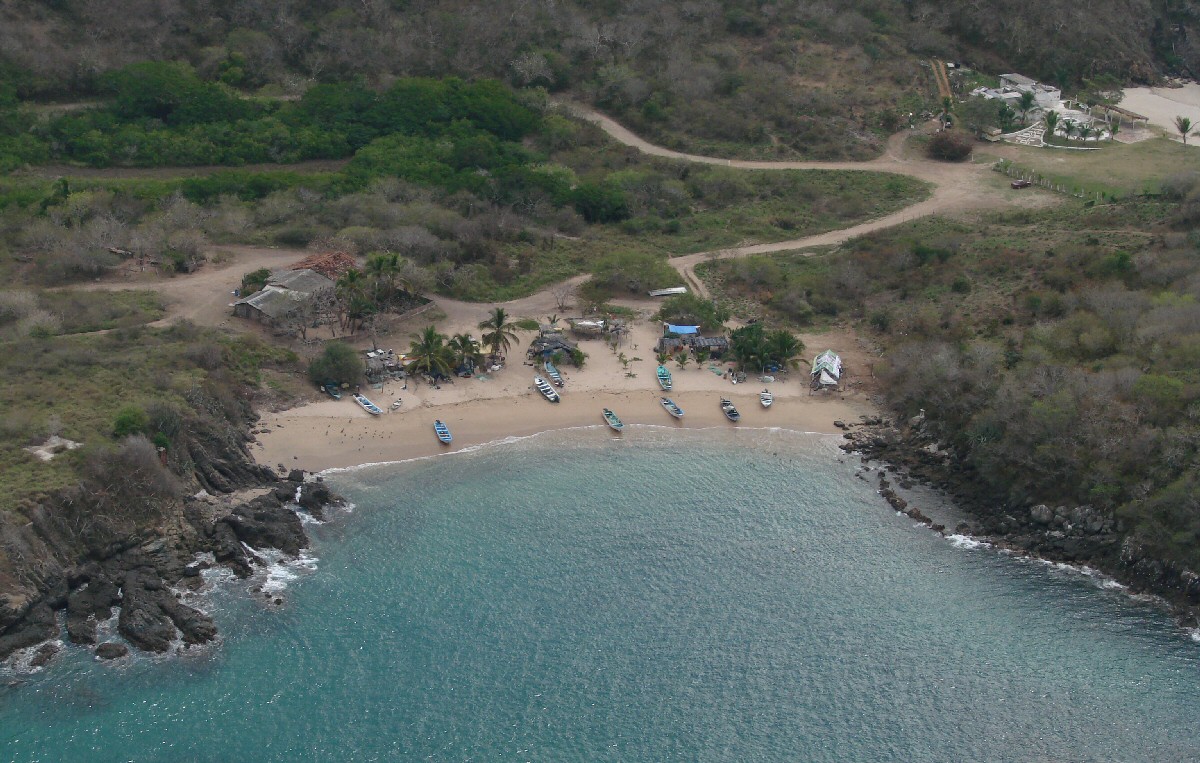
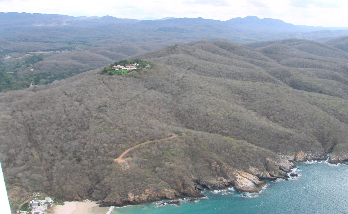
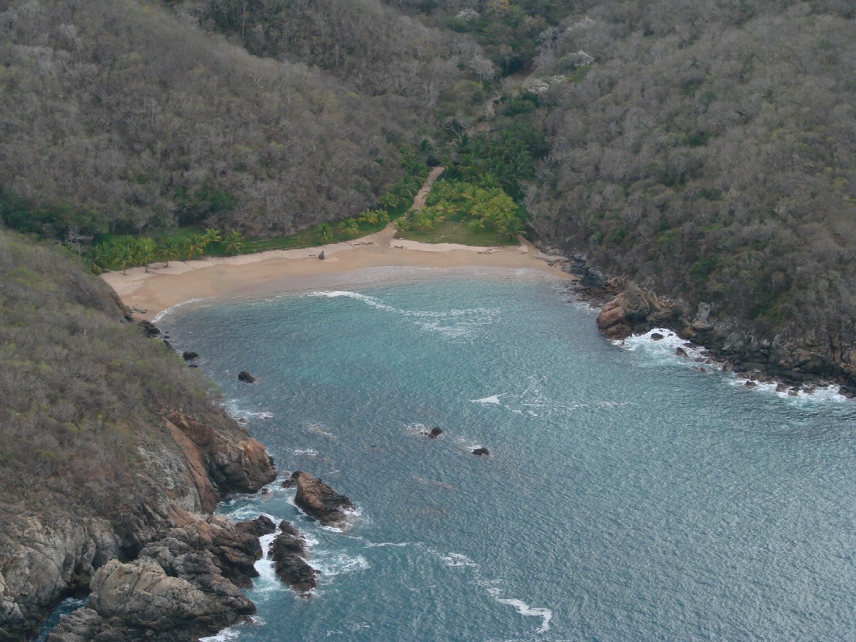
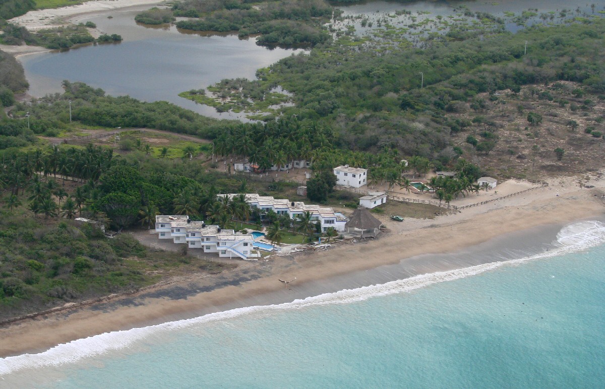
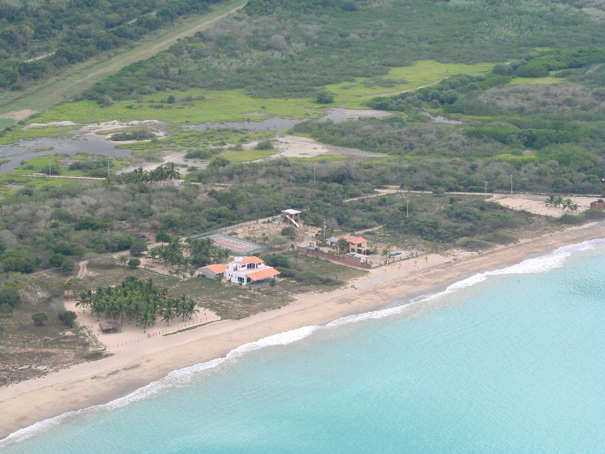
Small beach at Chamela
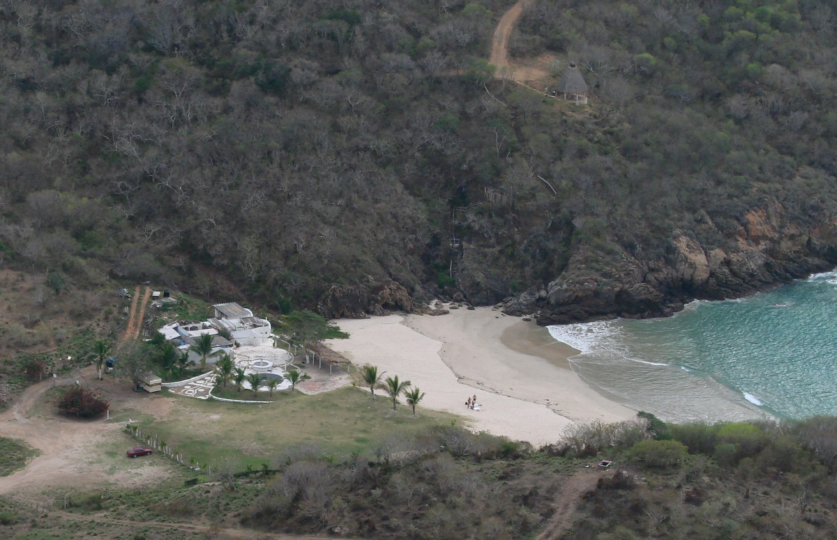
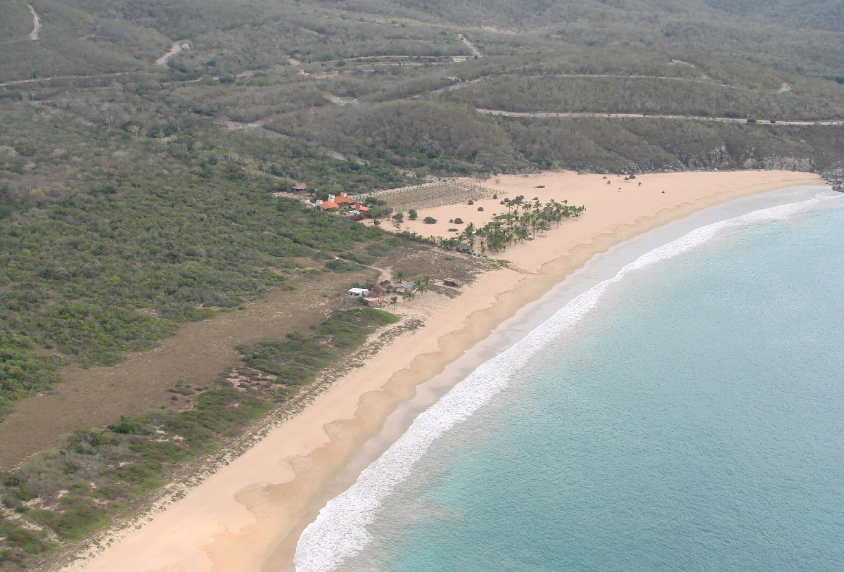
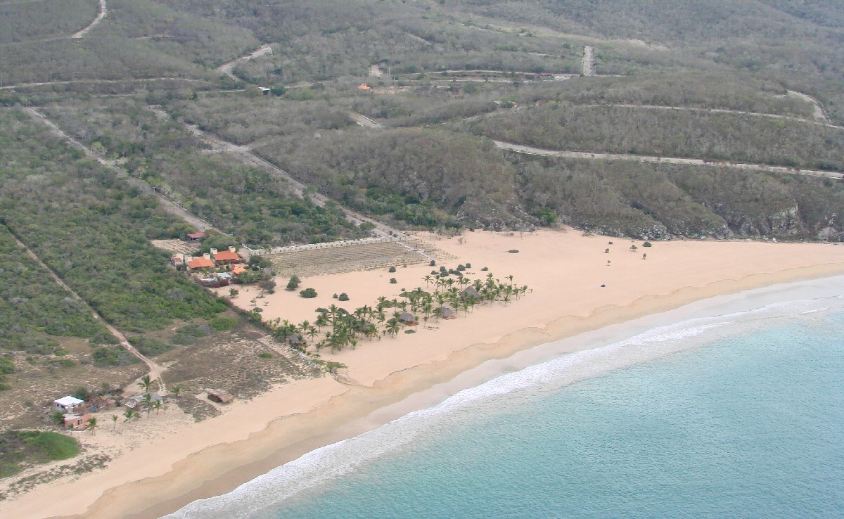
Beach home at Chamela