Home >> Colima >> Manzanillo >> Flight to Manzanillo >> Photographing the Playas >> Manzanillo Airport

Manzanillo Airport

Playas of Colima, Aerial Photos

March 2010

Return to Photographing the Playas

Aerial Photos of the Jalisco Coastline:
Puerto Vallarta
Mismaloya
Quimixto
Yelapa and Pizota
Between Pizota and Chimo
Chimo
Río Tabo
Corrales
Playitas
Naranjitos
Aquiles Serdán
Mayto
Tehaulmixtle
Villa del Mar/Ipala
Las Peñitas
Laguna Agua Dulce
La Cruz de Loreto
El Chorro
Majahuas
Punta Roca Negra
Laguna Larga
Punta Chacalatepec
Río San Nicolas
Punta Soledad
Las Alamandas
Punta Rivas
Bahía Chamela
Chamela
Punta Etiopia
Careyes
Punta Farallón
Río Cuitzmala
Tecuán
Tenacatita
La Manzanilla
Punta El Estrecho
Cuastecomates
Melaque
Barra de Navidad
Aerial Photos of the Colima Coastline:
Playa de Cocos
Manzanillo Airport
Punta el Carrizal
Santiago
Manzanillo
Playa Campos
Cuyutlán
Palo Verde
El Real
El Tecuanillo
San Rafael
El Ahijadero
Boca de Apiza
Main Index
Manzanillo
Manzanillo Airport
Nevado de Colima
Flight to Manzanillo
Photographing the Playas
Visitors' Comments
AboutHomeSearch

< Playa de Cocos | Manzanillo Airport | Punta el Carrizal >


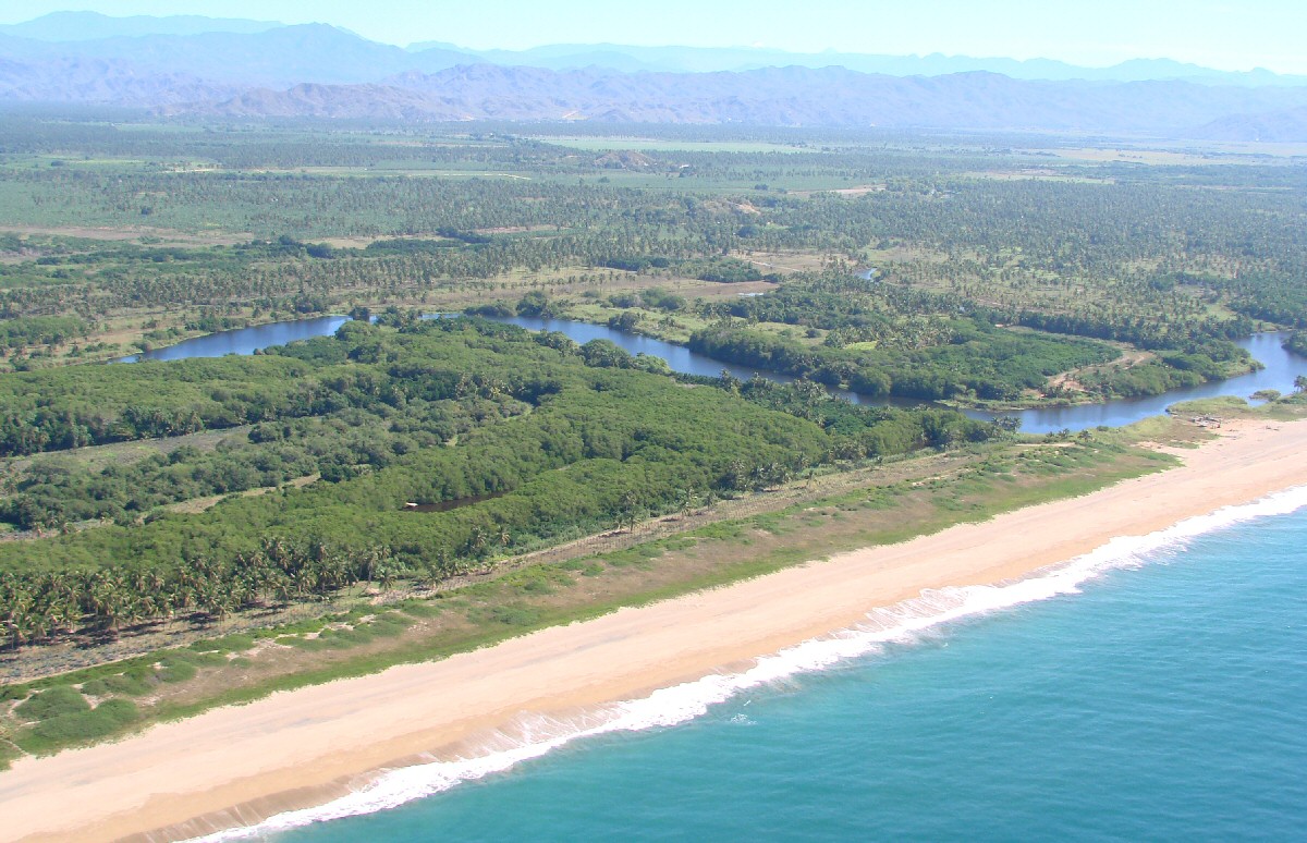
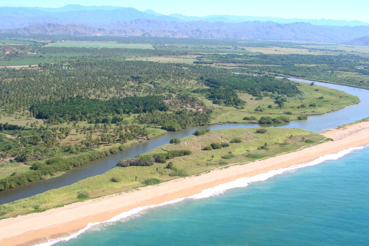
Río Marabasco is the boundary between the states of Jalisco (background) and Colima (foreground).


Río Marabasco


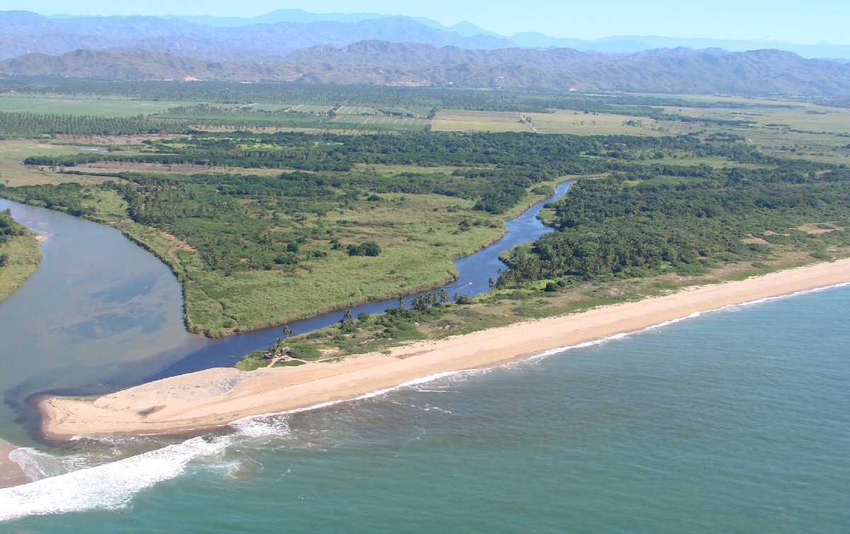
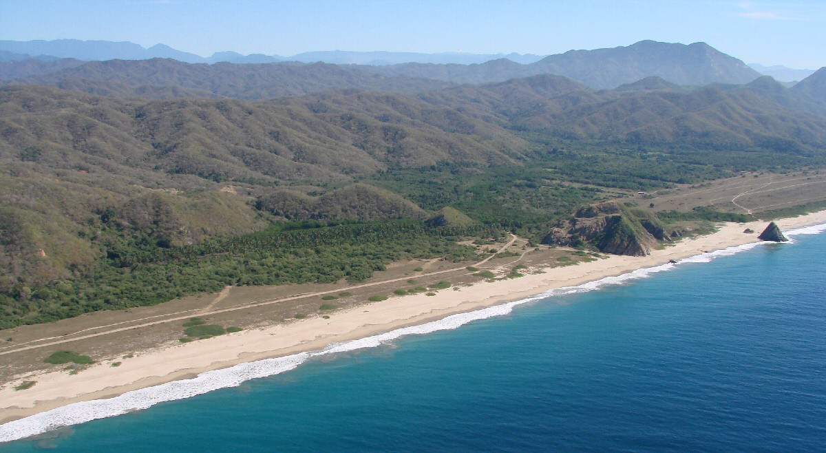
Playa de Oro, named for the treasure of gold found with the wreckage of the American ship "Golden Gate" that sank nearby in 1862.


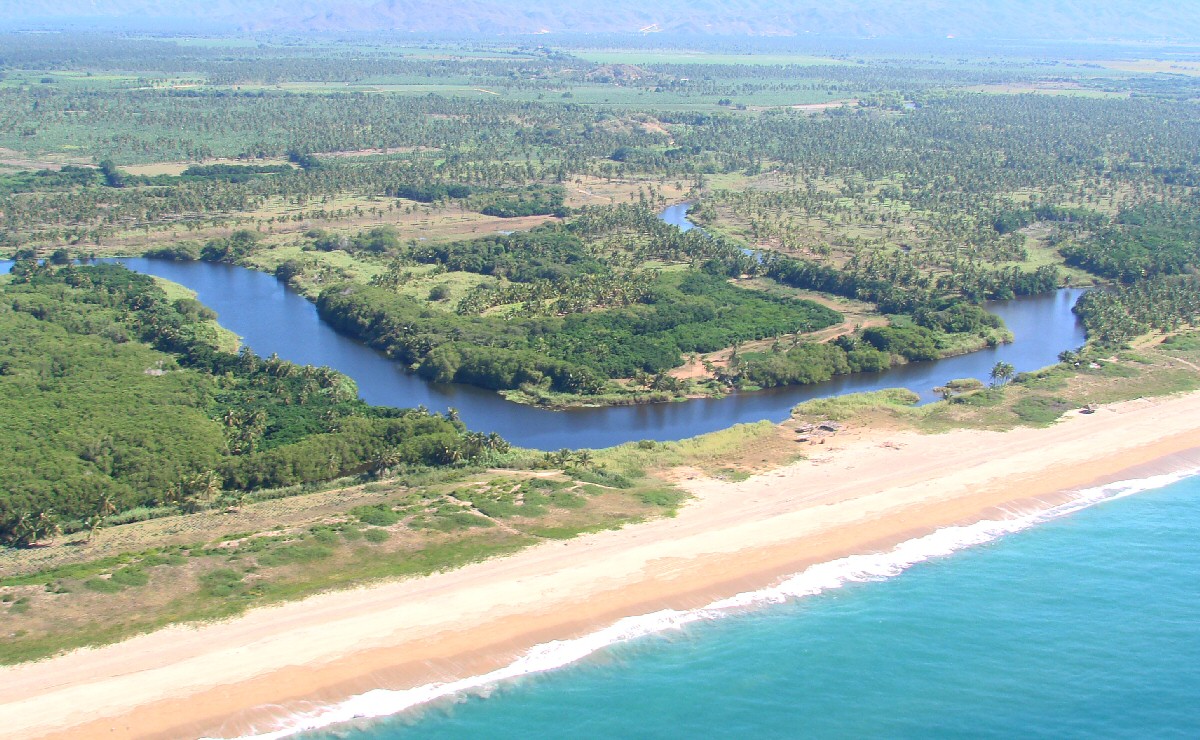
The Río Marabasco continues to mark the division between Jalisco (inland) and Colima (beach).


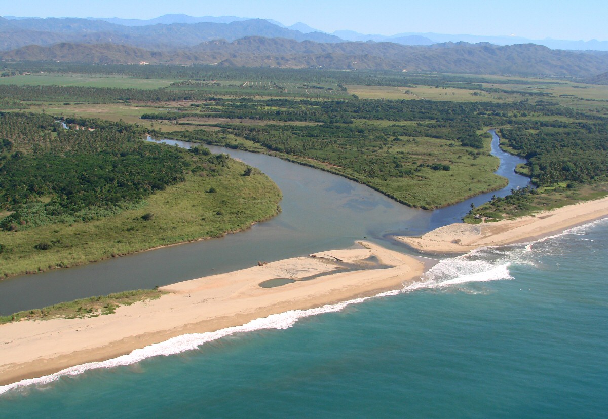
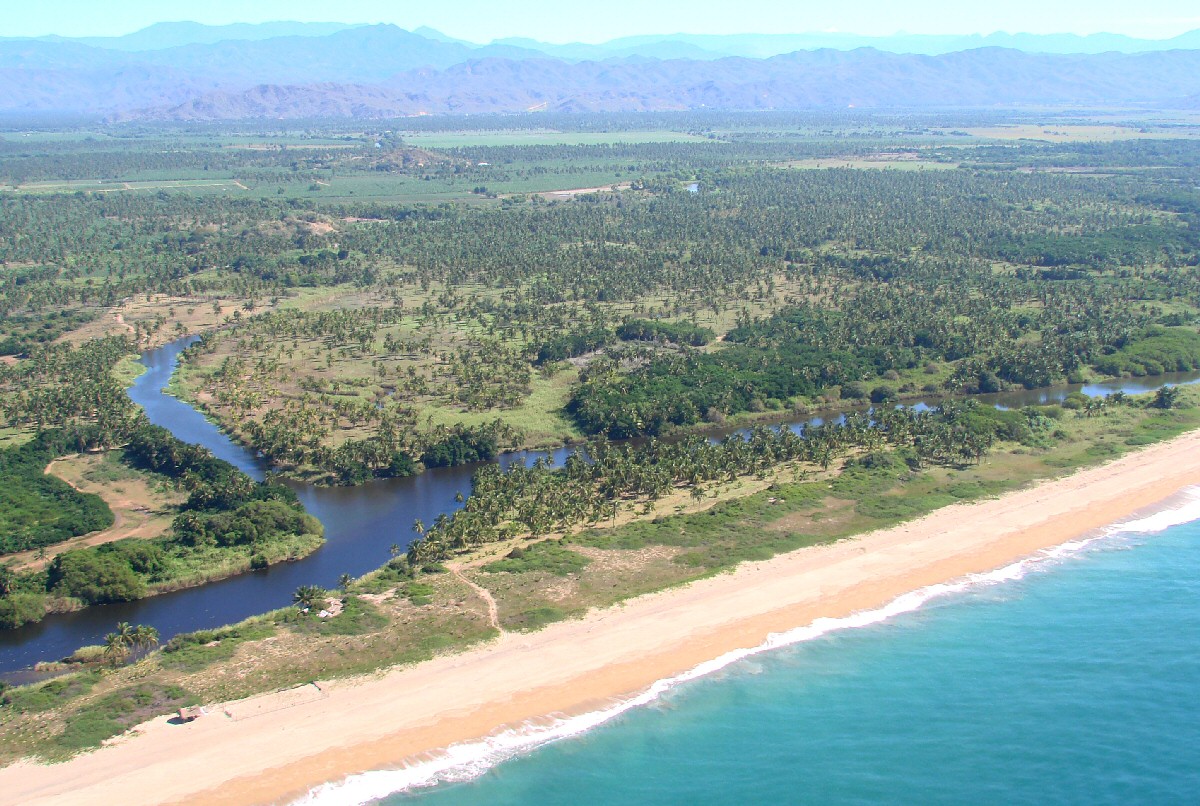
The Río Marabasco breaks through to the Pacific


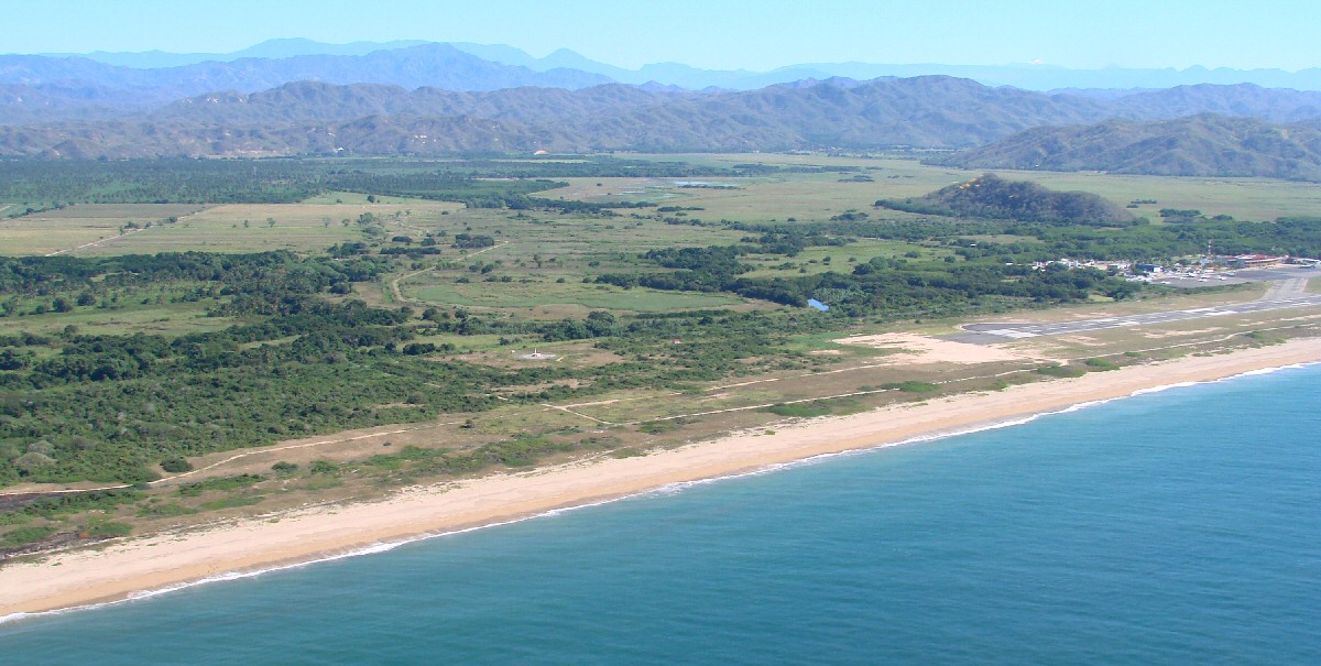
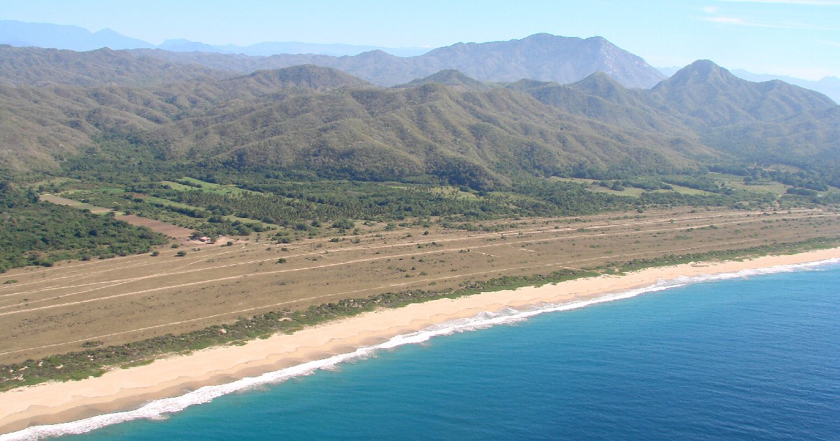
Manzanillo's Playa de Oro International Airport comes into view.


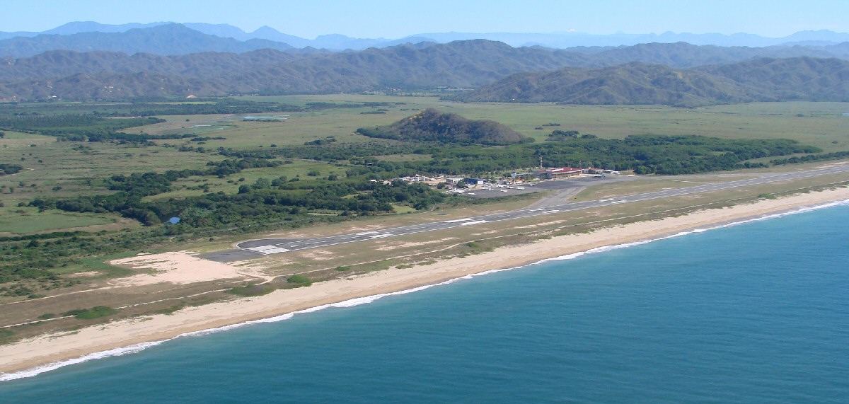
Manzanillo Airport. Note the snow-capped peak visible to the right of center. That is the volcano Nevado de Colima.
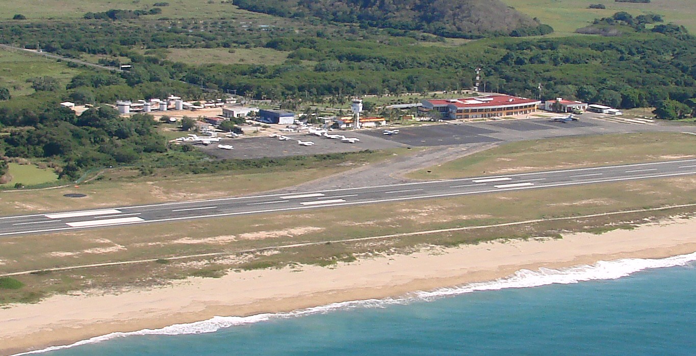
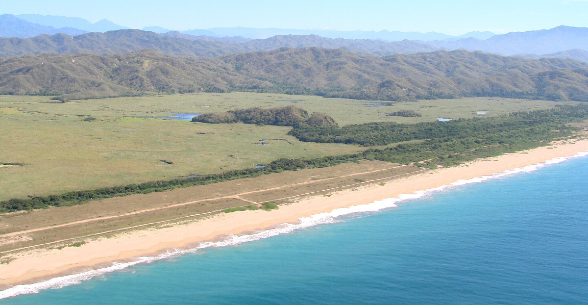
A closer look


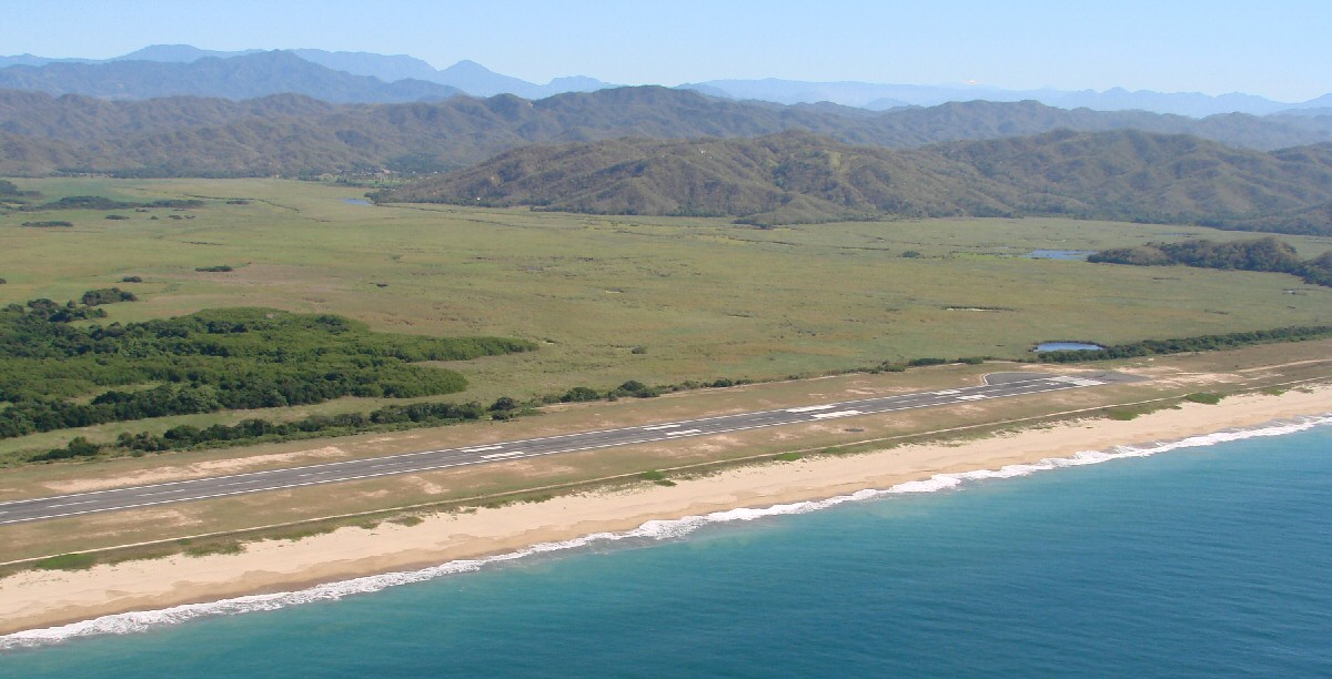
Approach end of runway 28


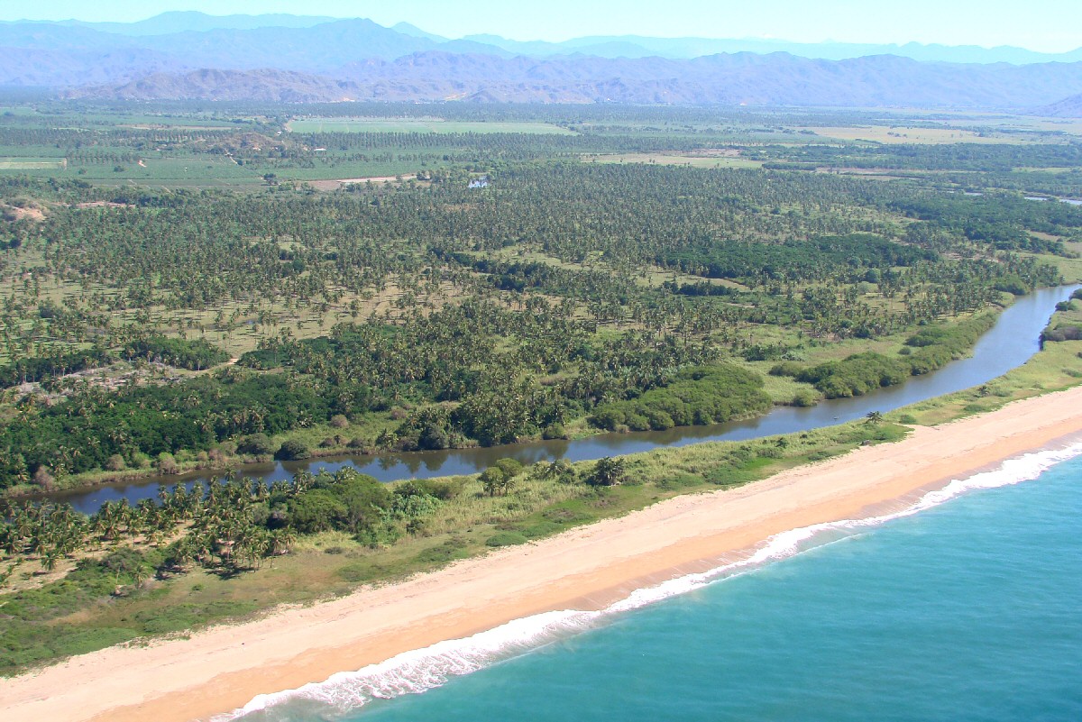
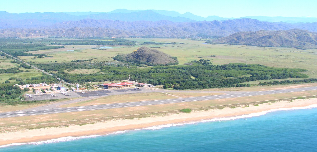
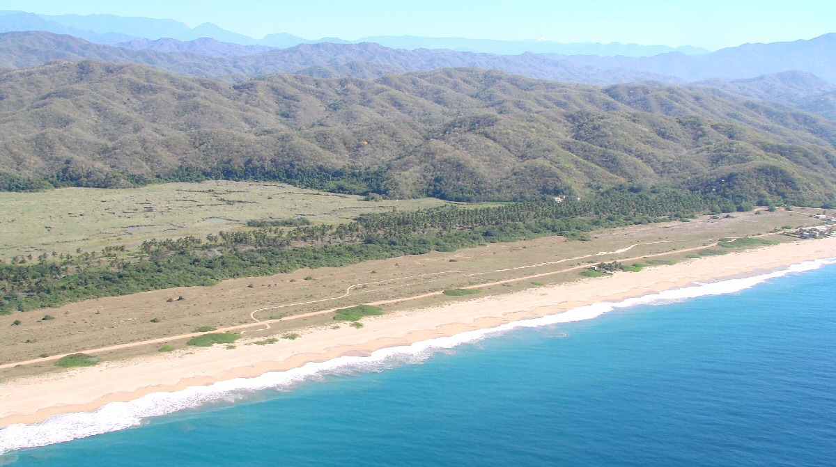
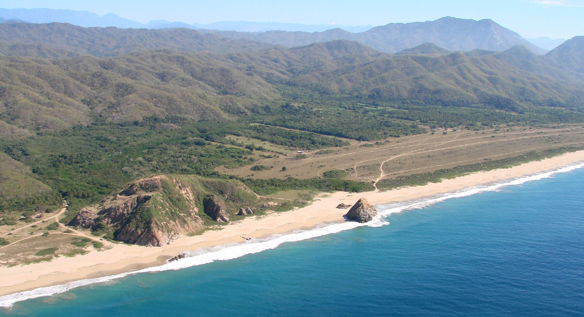
Playa de Oro, just east of the Manzanillo Airport


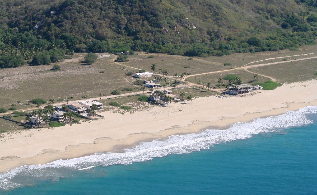
Houses on Playa de Oro


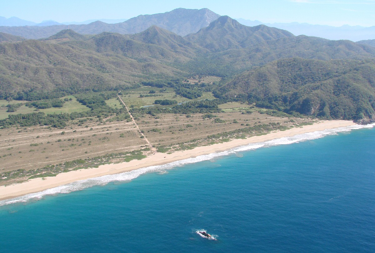
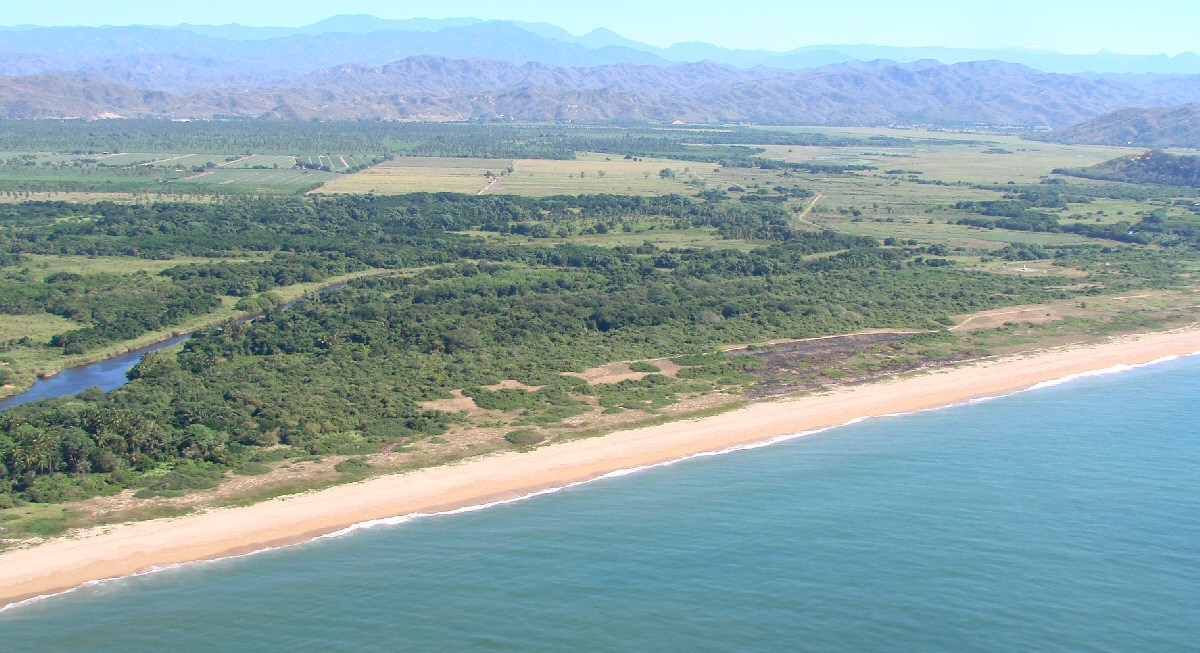
East end of the beach

< Playa de Cocos | Manzanillo Airport | Punta el Carrizal >


| Top of page | Main index | Search | What's new |