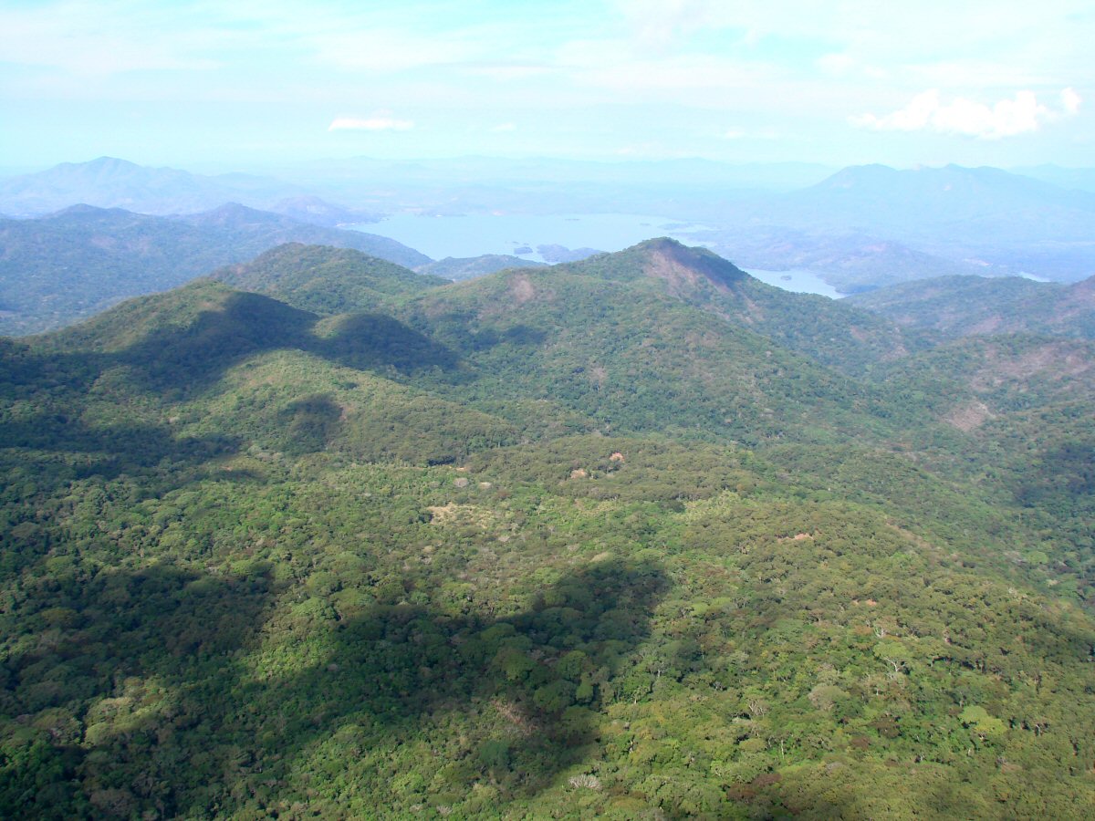
Presa Cajón de Peña comes into view in the background
Presa Cajón de Peña comes into view in the background
Presa Cajón de Peña, on the Río Tomatlán
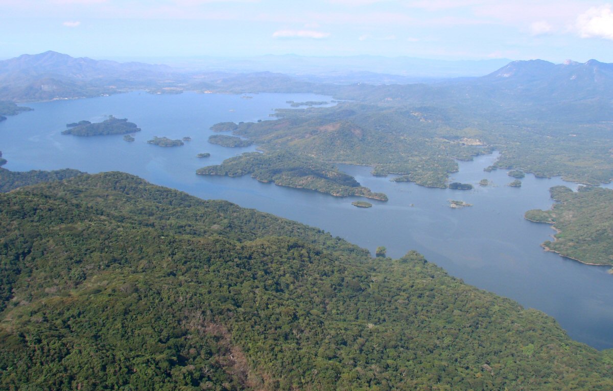
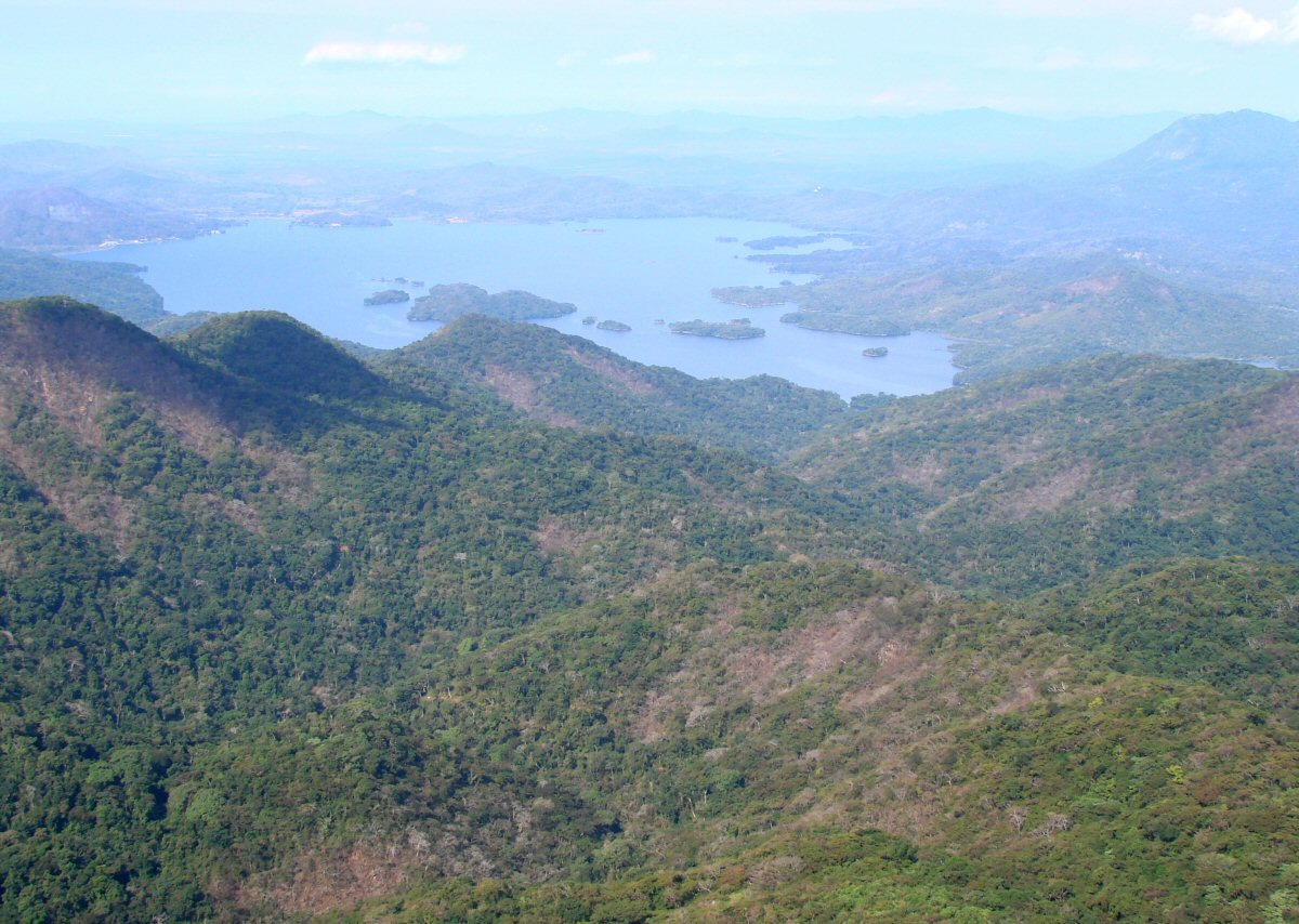
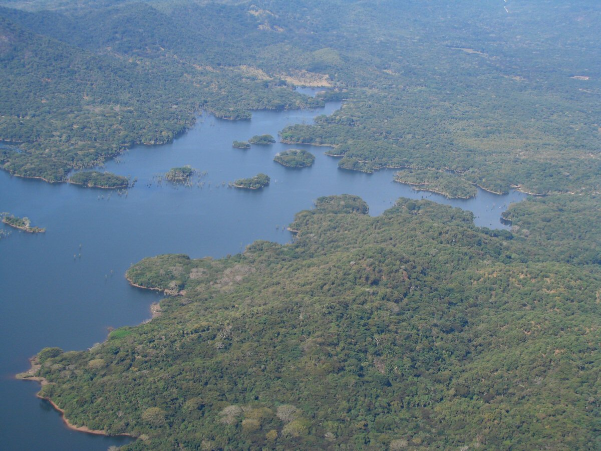
Presa Cajón de Peña. The lake is about a mile across and 5 miles long.
Presa Cajón de Peña 20.0344°N 105.0796°W
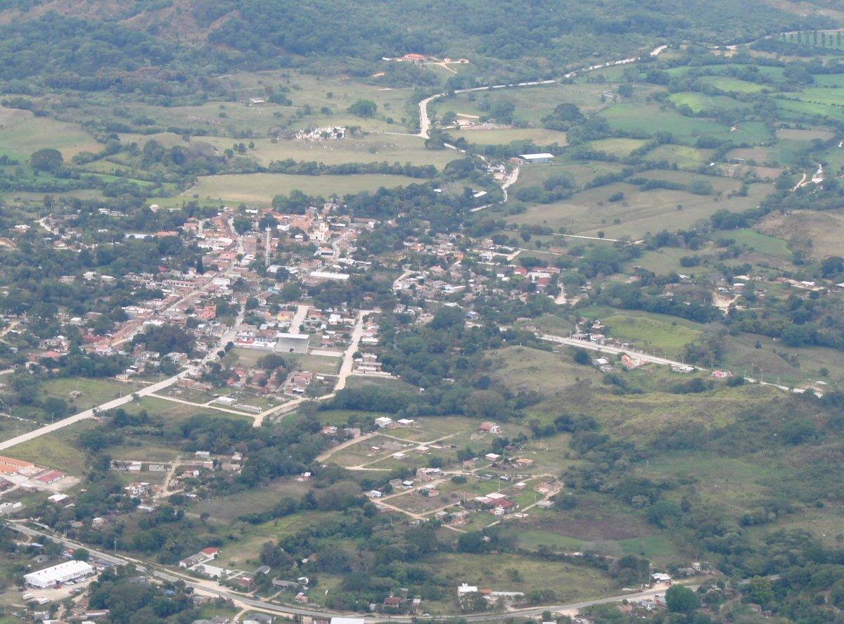
Town 2 miles north of Presa Cajón de Peña. 20.0725°N 105.0771°W
A closer look. Let me know if you can name this place. tom@tomzap.com
Farmland one mile north of town in previous photos. 20.0911°N 105.0802°W
20.1383°N 105.1352°W
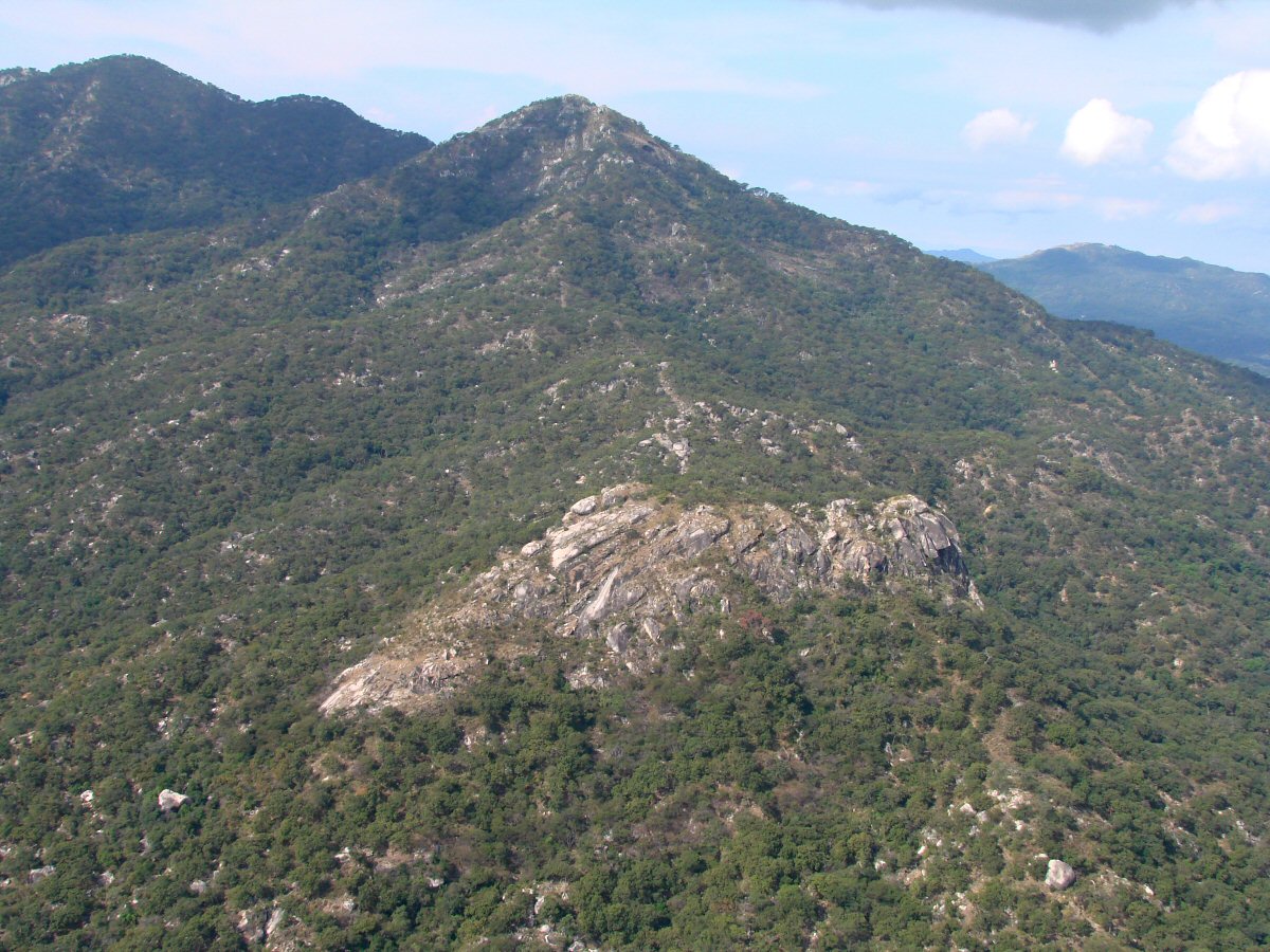
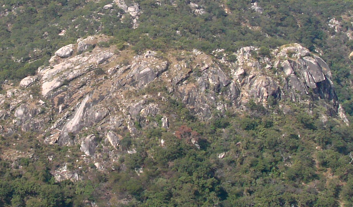
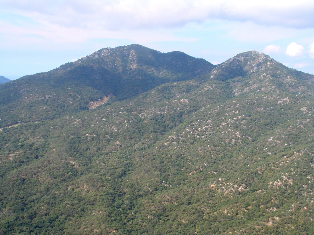
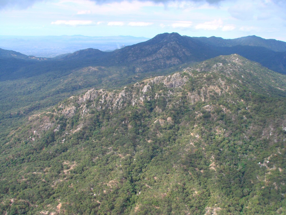
A closer look at rock formation 20.1517°N 105.1107°W
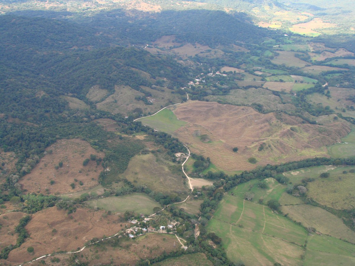
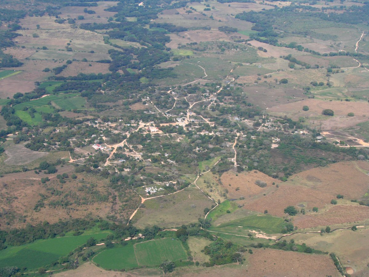
Two villages 8 miles north of Presa Cajón de Peña 20.1828°N 105.1456°W
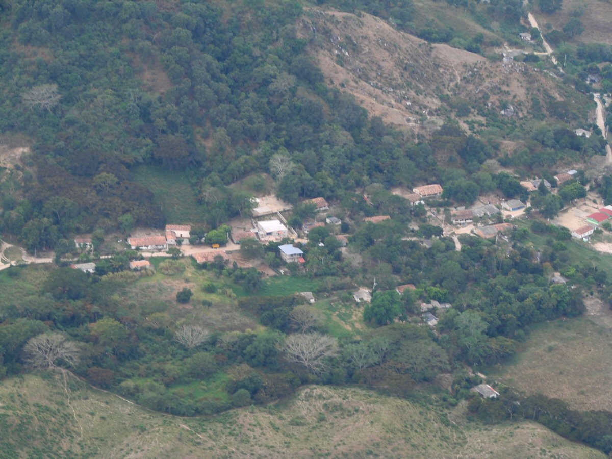
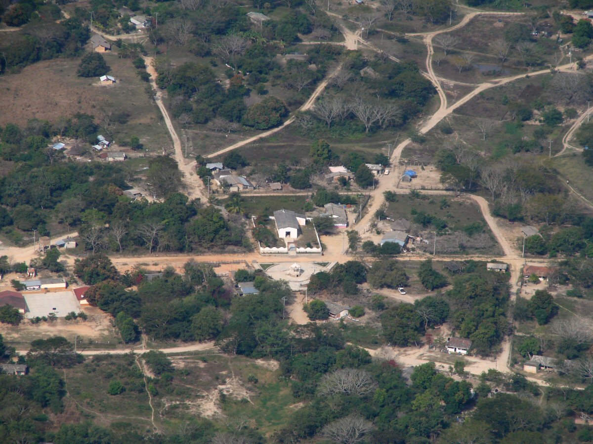
A closer look. Let me know if you can name this place. tom@tomzap.com 20.1849°N 105.1519°W
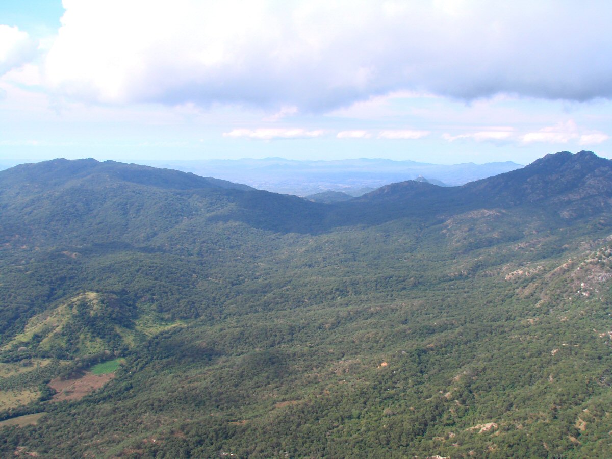
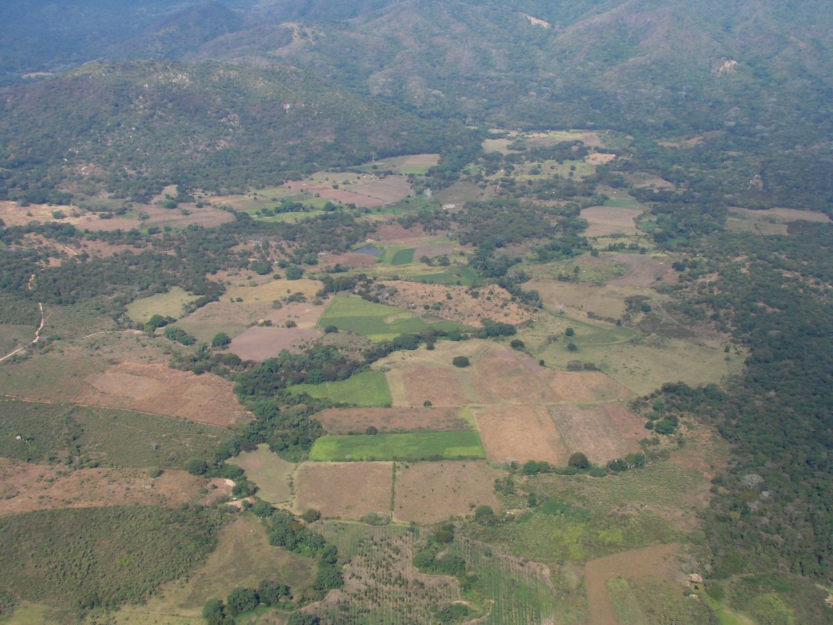
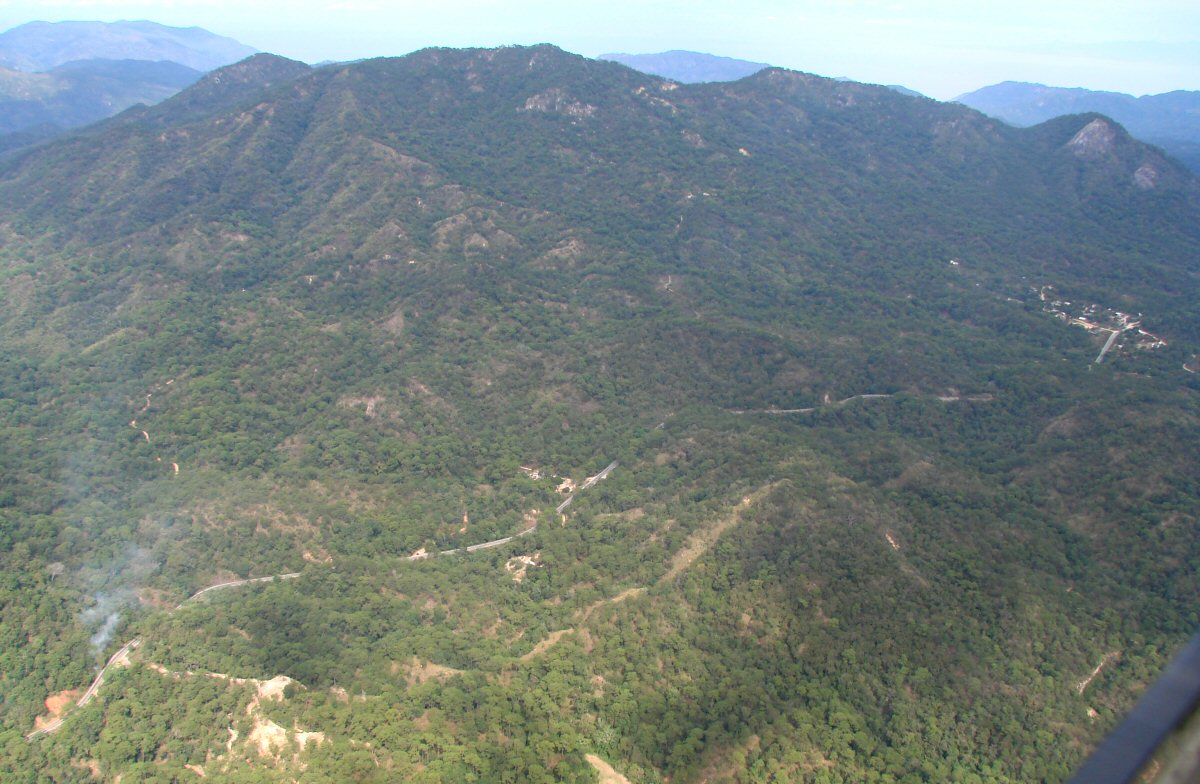
Foothills of the Sierra el Tuito. We are deviating to the south to avoid peaks that are obscured by clouds.
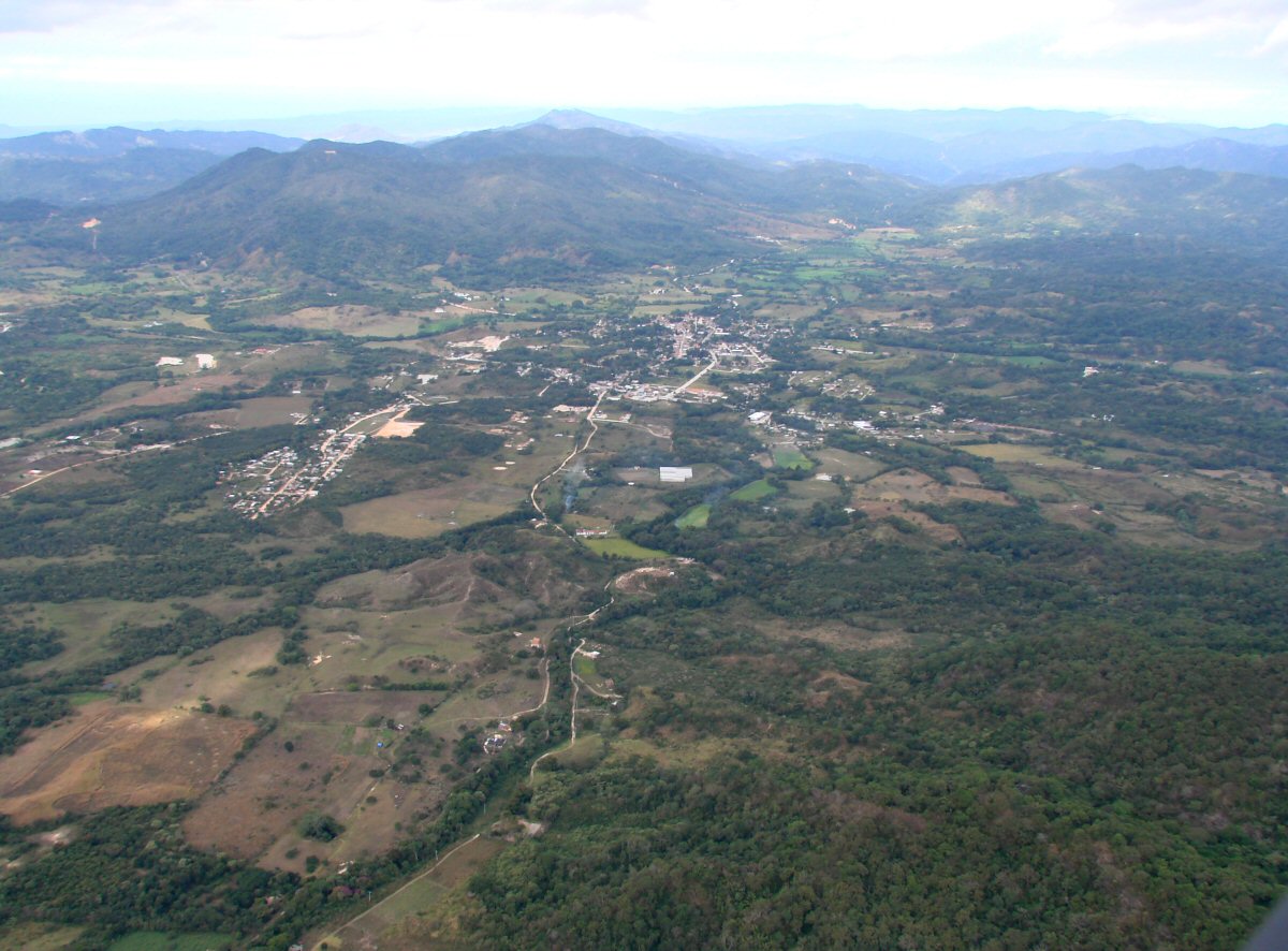
El Tuito. From here you can drive to Playa Tehuamixtle, Playa Mayto, Playa Yelapa, Playa Corrales, Playa Chimo, and Playa Villa del Mar. 20.3203°N 105.3250°W
El Tuito
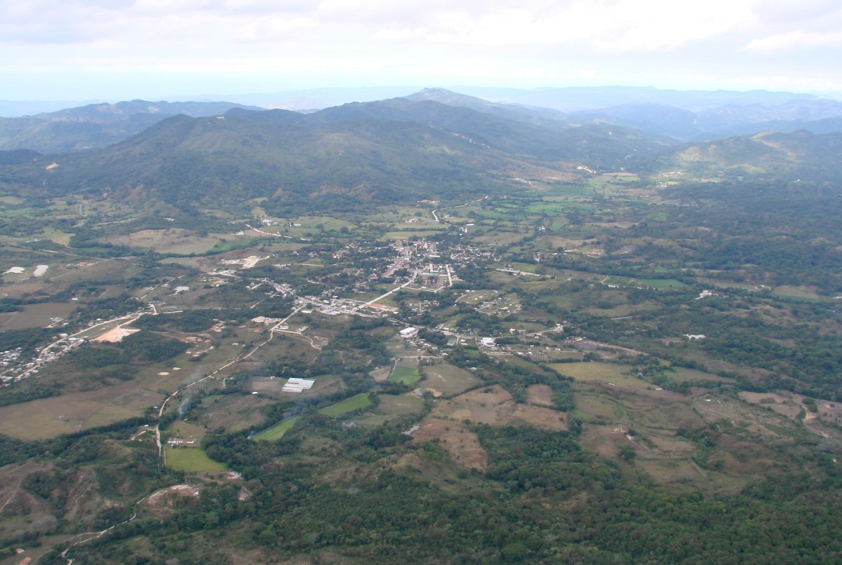
A closer look
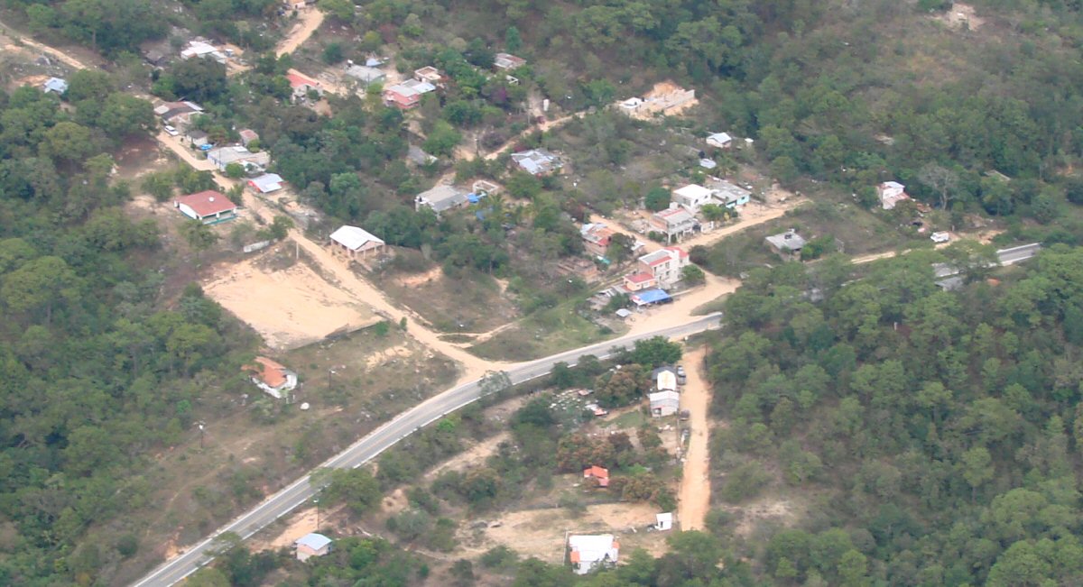
Hwy 200 just north of El Tuito
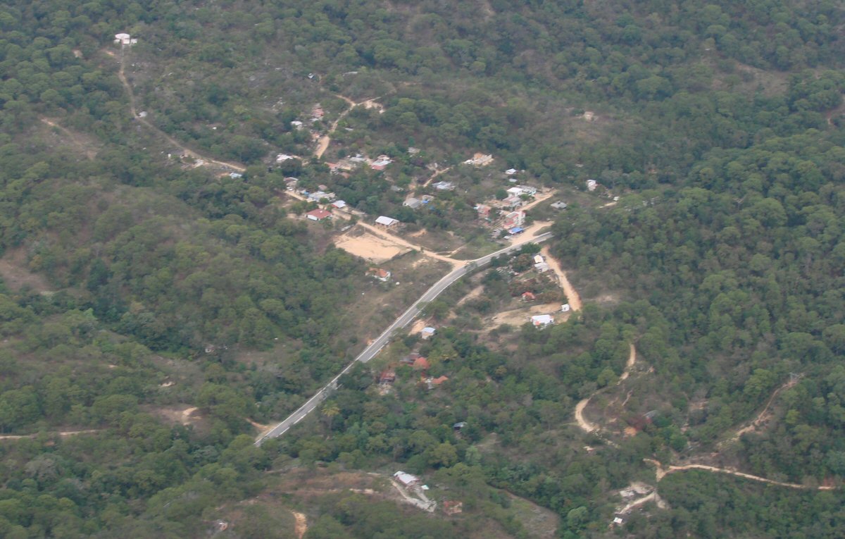
Small town 4 miles north of El Tuito. Let me know if you can name this place. tom@tomzap.com 20.3986°N 105.3093°W
A closer look
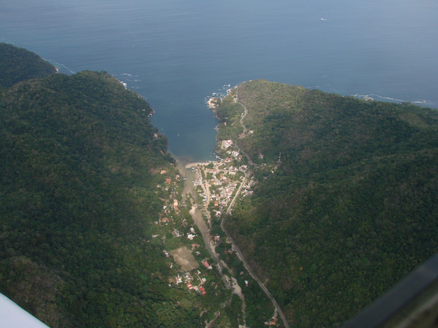
We cross the last mountains and descend over Boca de Tomatlán on Banderas Bay
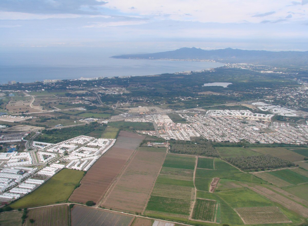
Banderas Bay and Puerto Vallarta. We have just crossed the Puerto Vallarta Airport and the state line and are in Nayarit.
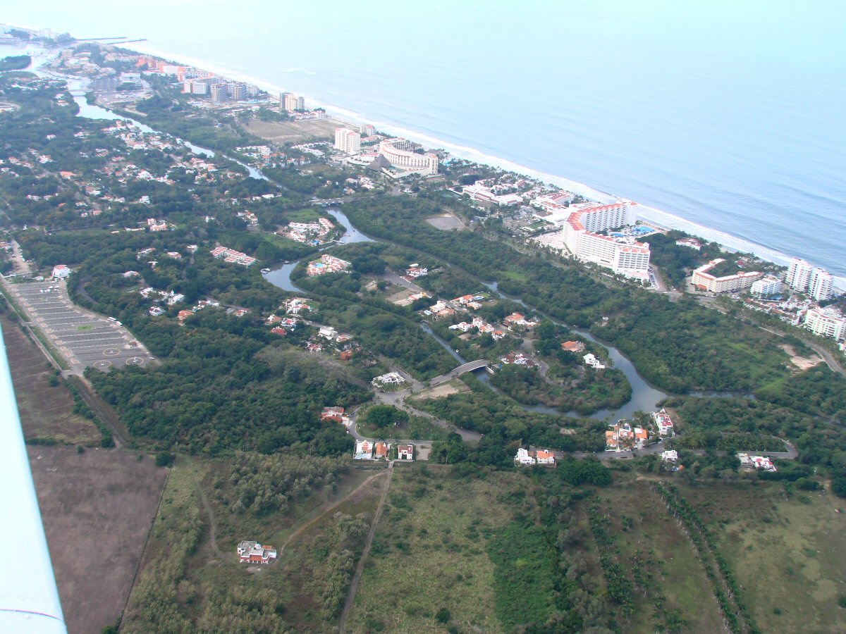
We make our turn to begin photographing the Jalisco Coast. Some 800 high-resolution photos of the coastline are available starting here.