Home >> Colima >> Manzanillo >> Flight to Manzanillo >> Photographing the Playas >> Chimo

Chimo

Playas of Jalisco, Aerial Photos

Return to Photographing the Playas
Aerial Photos of the Jalisco Coastline:
Puerto Vallarta
Mismaloya
Quimixto
Yelapa and Pizota
Between Pizota and Chimo
Chimo
Río Tabo
Corrales
Playitas
Naranjitos
Aquiles Serdán
Mayto
Tehaulmixtle
Villa del Mar/Ipala
Las Peñitas
Laguna Agua Dulce
La Cruz de Loreto
El Chorro
Majahuas
Punta Roca Negra
Laguna Larga
Punta Chacalatepec
Río San Nicolas
Punta Soledad
Las Alamandas
Punta Rivas
Bahía Chamela
Chamela
Punta Etiopia
Careyes
Punta Farallón
Río Cuitzmala
Tecuán
Tenacatita
La Manzanilla
Punta El Estrecho
Cuastecomates
Melaque
Barra de Navidad
Colima:
Playa de Cocos
Main Index
Manzanillo
Flight to Manzanillo
Photographing the Playas
Visitors' Comments
AboutHomeSearch

< Between Pizota and Chimo | Chimo | Río Tabo >


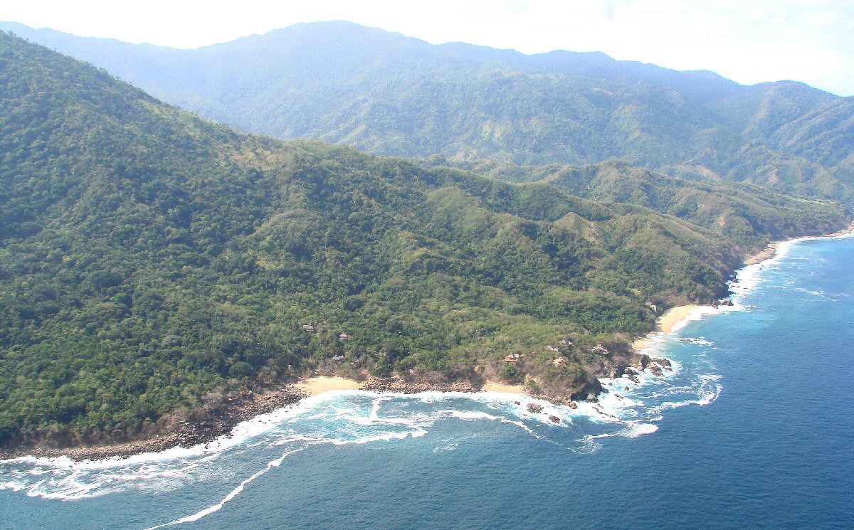
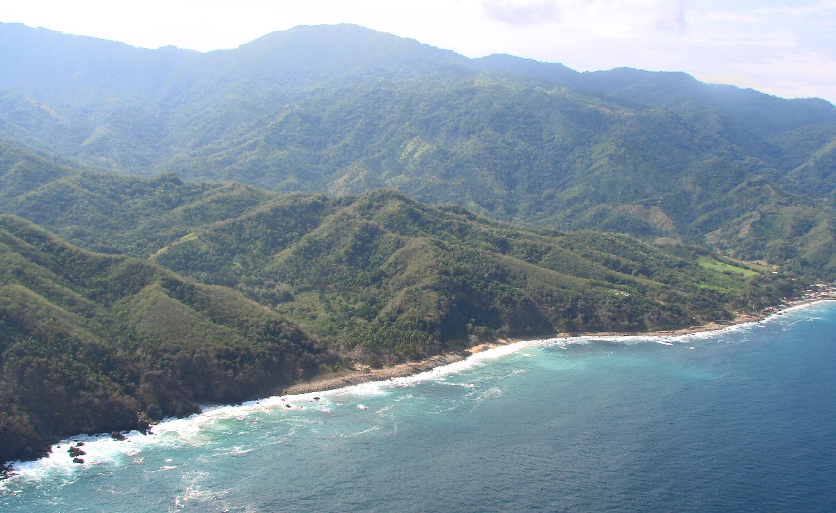
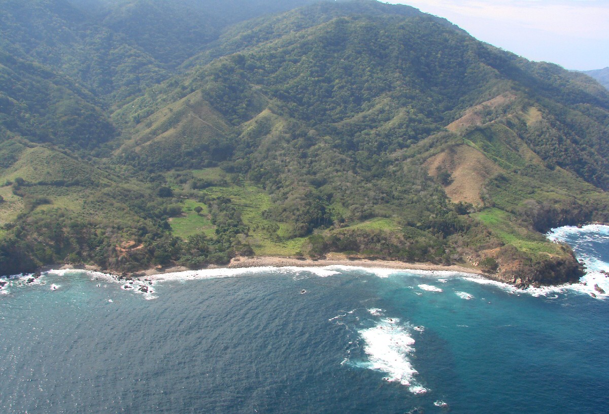
Torresillos, a good place for scuba diving


A closer look


Torresillos


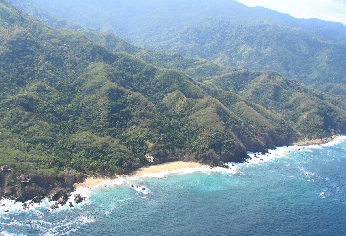
Just to the east of Chimo


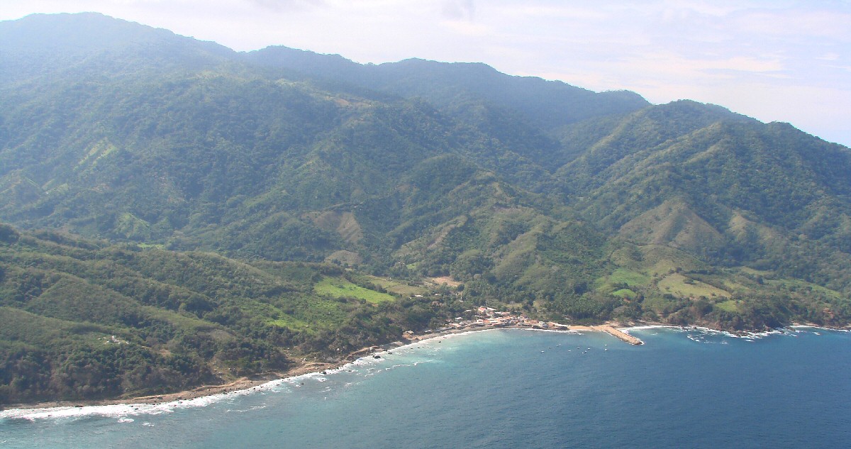
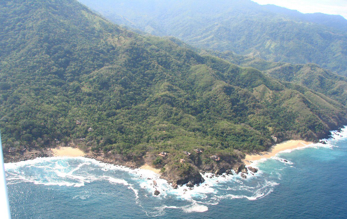
Chimo   GPS: 20°28.30'N 105°35.53'W


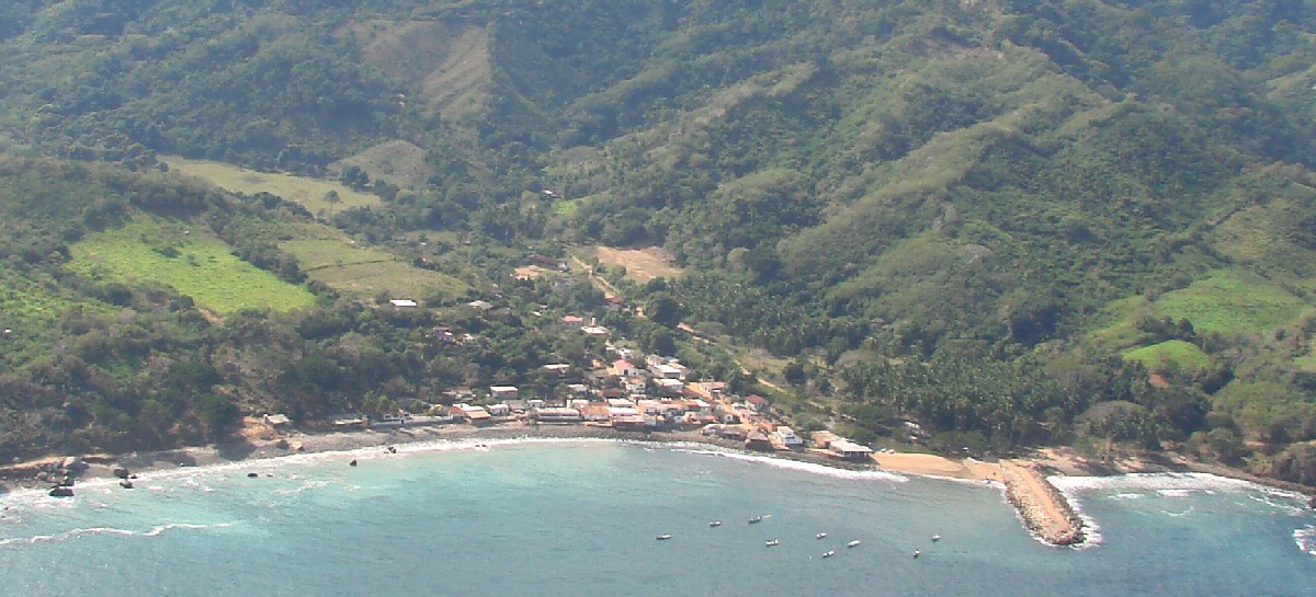
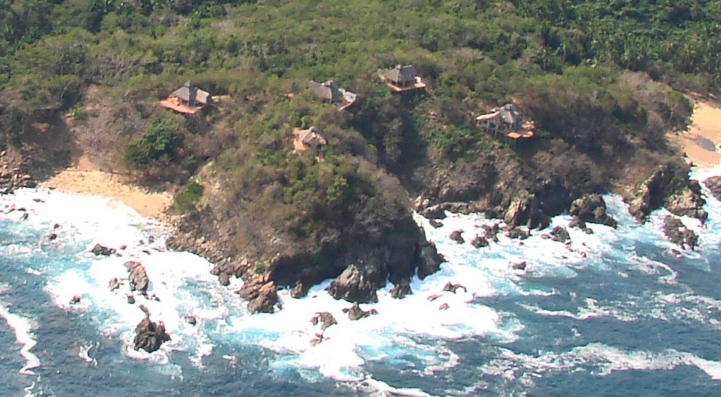
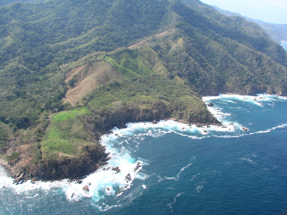
A closer look at Chimo


Just to the west of Chimo


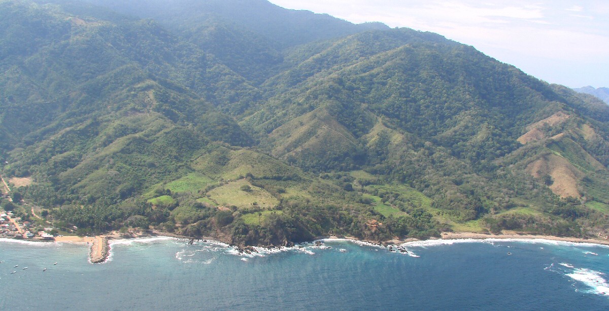
Punta Iglesias, partially out of view at right

< Between Pizota and Chimo | Chimo | Río Tabo >


| Top of page | Main index | Search | What's new |