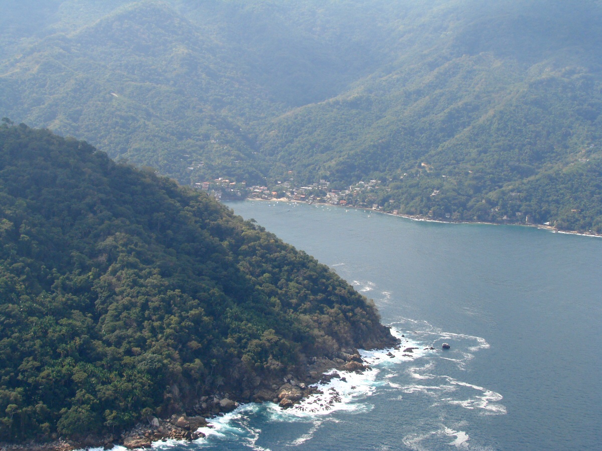
Just east of Yelapa
|
Just east of Yelapa
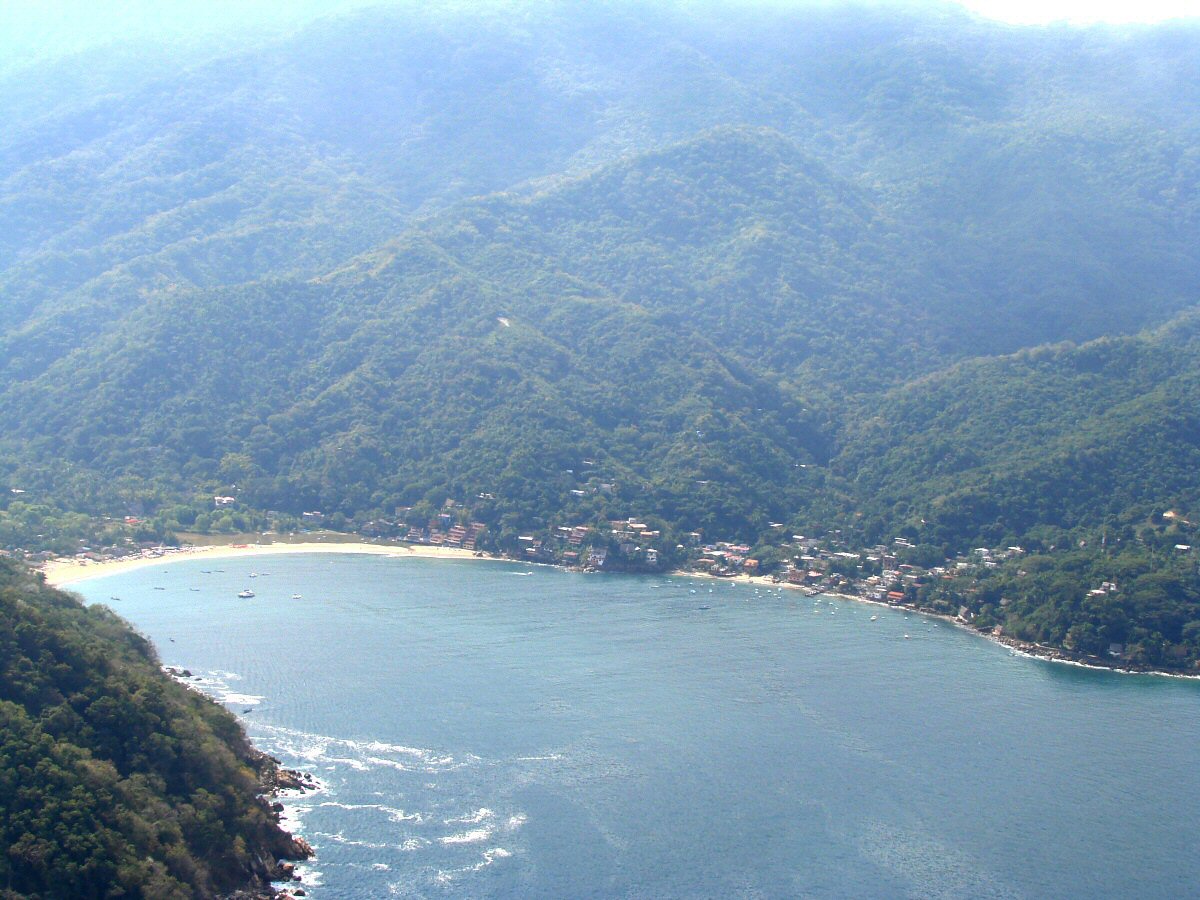
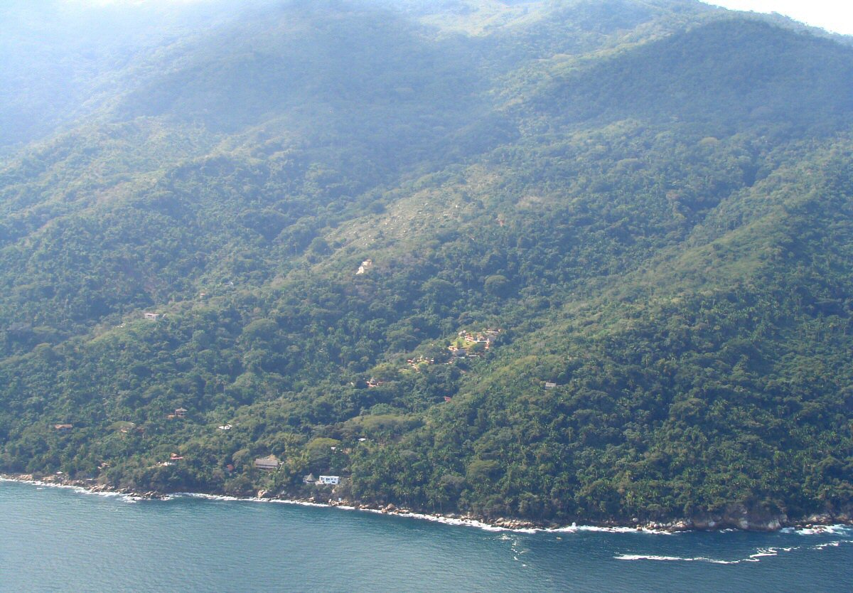
Bay at Yelapa
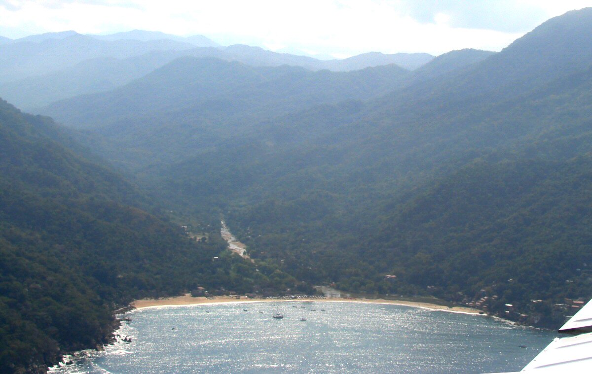
Bay at Yelapa N20°30.15' W105°27.87'
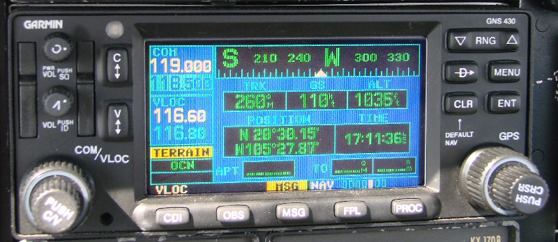
Keeping track of the position
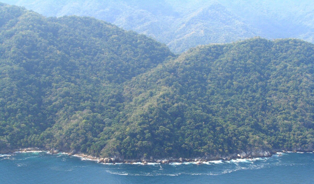
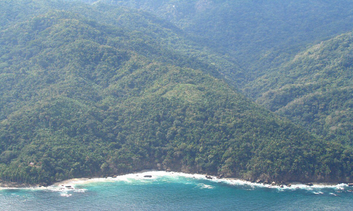
West of Yelapa
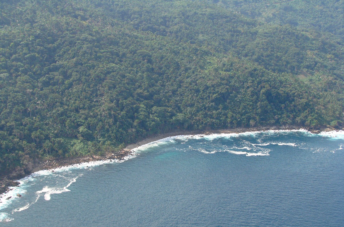
West of Yelapa we quickly seem to be in the wilderness again
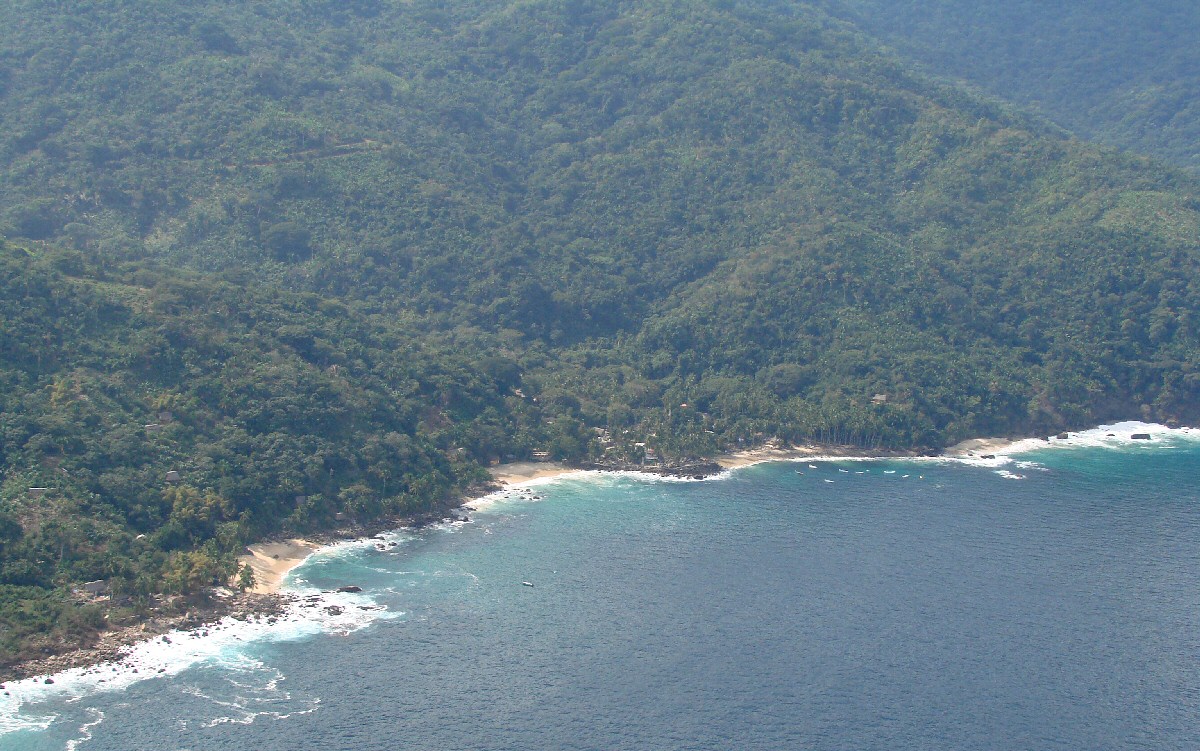
This is Pizota, small beach with clear water
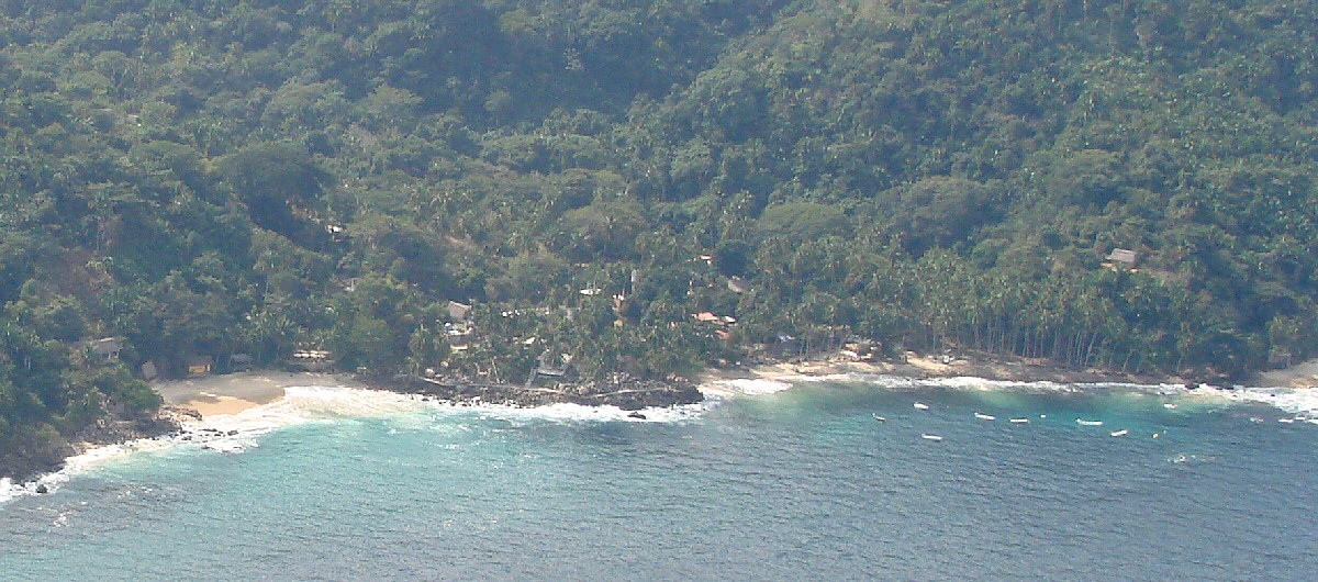
A closer look at Pizota
Western edge of Pizota