Home >> Colima >> Manzanillo >> Flight to Manzanillo >> Photographing the Playas >> Playa Campos

Playa Campos

Playas of Colima, Aerial Photos

March 2010

Return to Photographing the Playas

Aerial Photos of the Jalisco Coastline:
Puerto Vallarta
Mismaloya
Quimixto
Yelapa and Pizota
Between Pizota and Chimo
Chimo
Río Tabo
Corrales
Playitas
Naranjitos
Aquiles Serdán
Mayto
Tehaulmixtle
Villa del Mar/Ipala
Las Peñitas
Laguna Agua Dulce
La Cruz de Loreto
El Chorro
Majahuas
Punta Roca Negra
Laguna Larga
Punta Chacalatepec
Río San Nicolas
Punta Soledad
Las Alamandas
Punta Rivas
Bahía Chamela
Chamela
Punta Etiopia
Careyes
Punta Farallón
Río Cuitzmala
Tecuán
Tenacatita
La Manzanilla
Punta El Estrecho
Cuastecomates
Melaque
Barra de Navidad
Aerial Photos of the Colima Coastline:
Playa de Cocos
Manzanillo Airport
Punta el Carrizal
Santiago
Manzanillo
Playa Campos
Cuyutlán
Palo Verde
El Real
El Tecuanillo
San Rafael
El Ahijadero
Boca de Apiza
Main Index
Manzanillo
Flight to Manzanillo
Photographing the Playas
Visitors' Comments
AboutHomeSearch

< Manzanillo | Playa Campos | Cuyutlán >


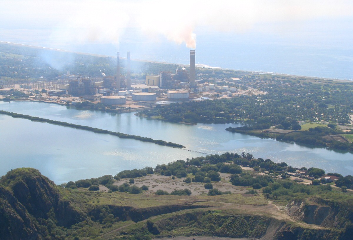
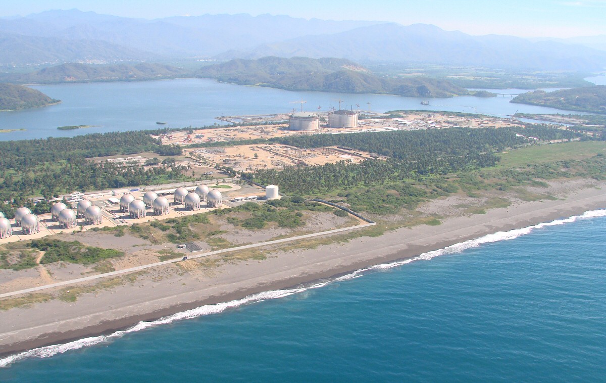
Manzanillo power plant with Playa Campos in background


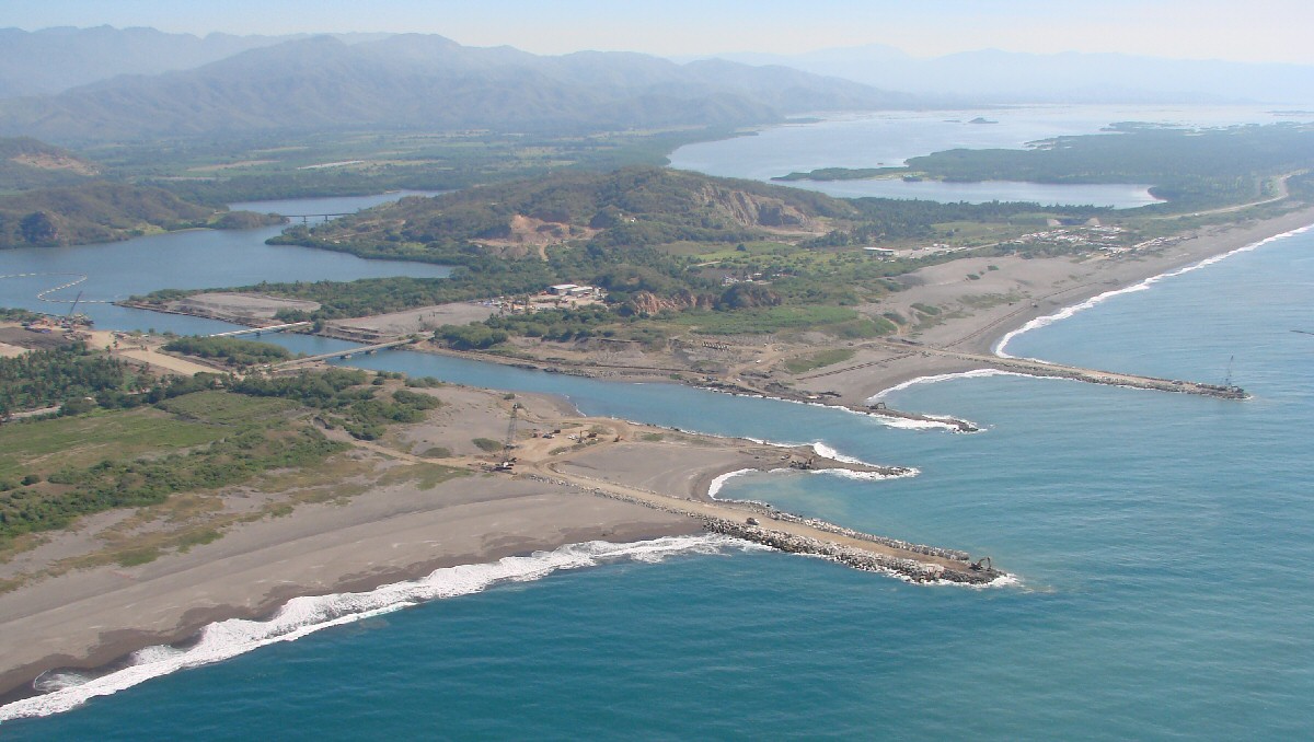
Playa Ventanas at right of channel


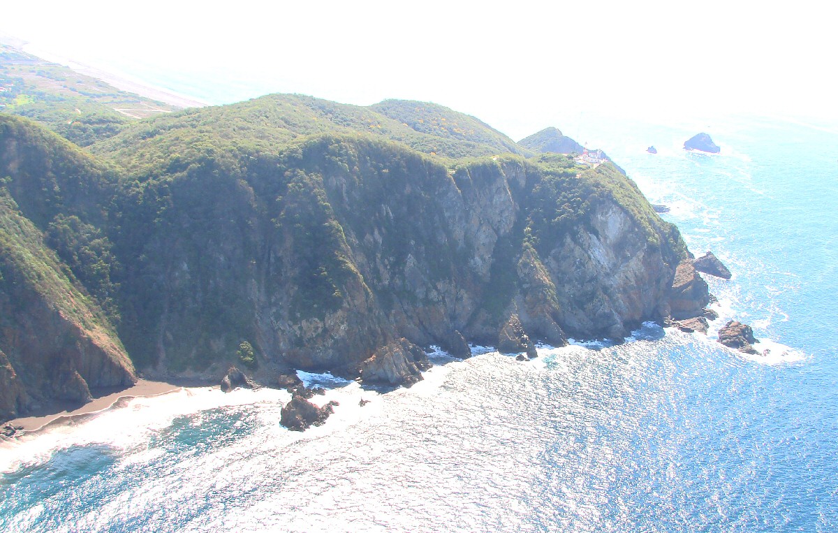
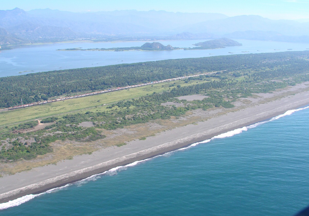
Punta de Campos with Playa Campos in background


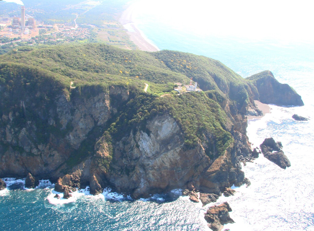
Punta de Campos with lighthouse


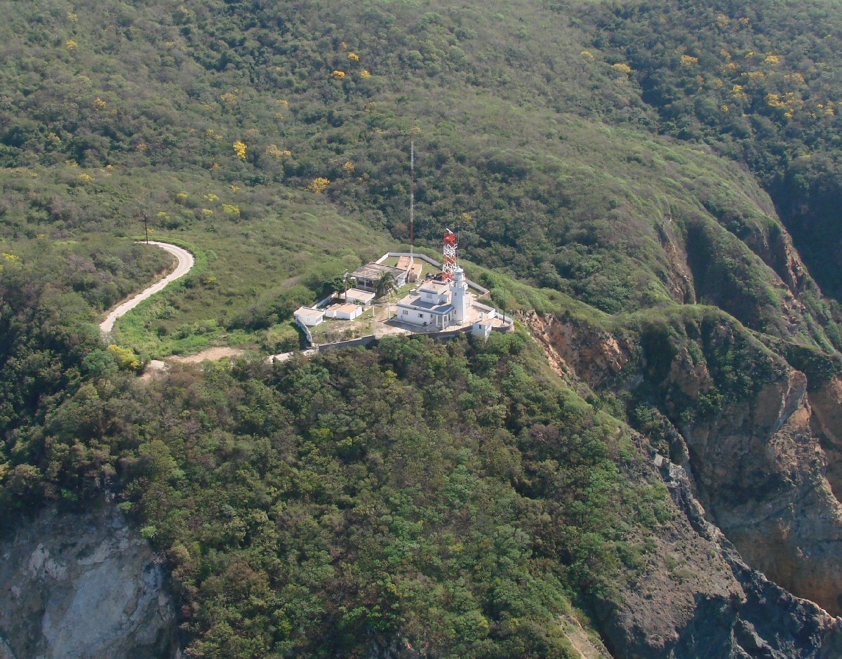
Punta de Campos lighthouse "Faro Campos"


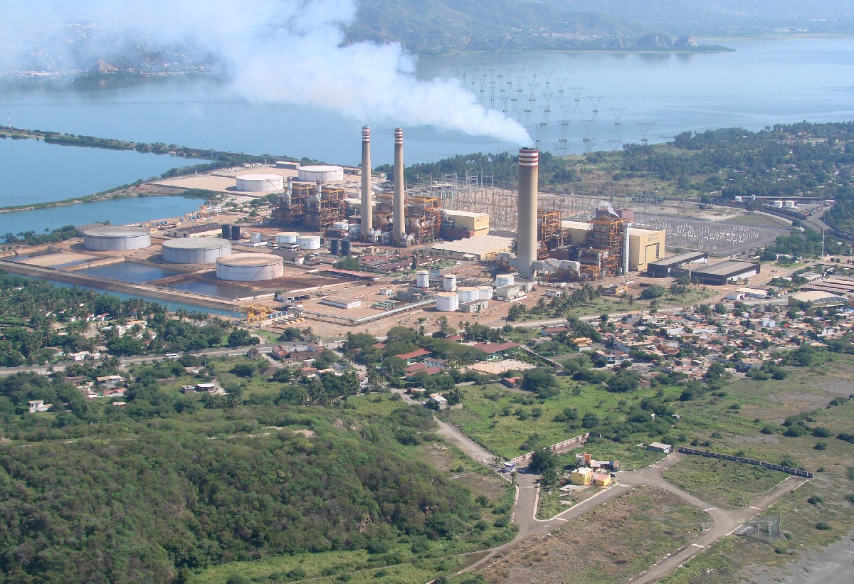
Manzanillo power plant, Termoeléctrica de Campos C.F.E. and Col. Villa Florida neighborhood
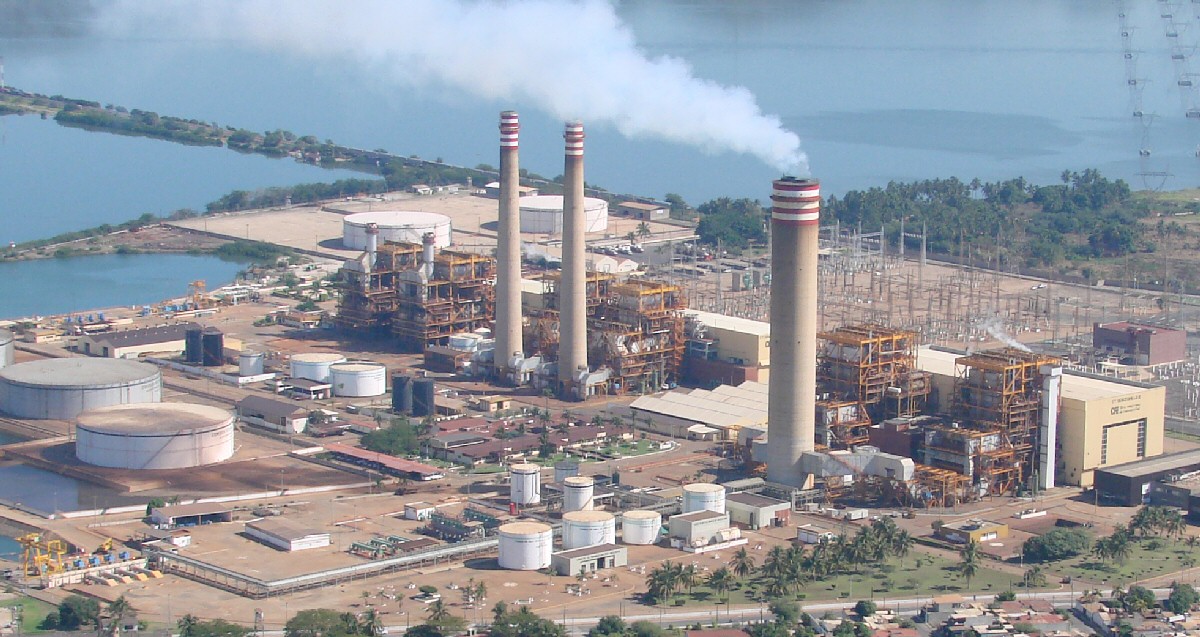

A closer look


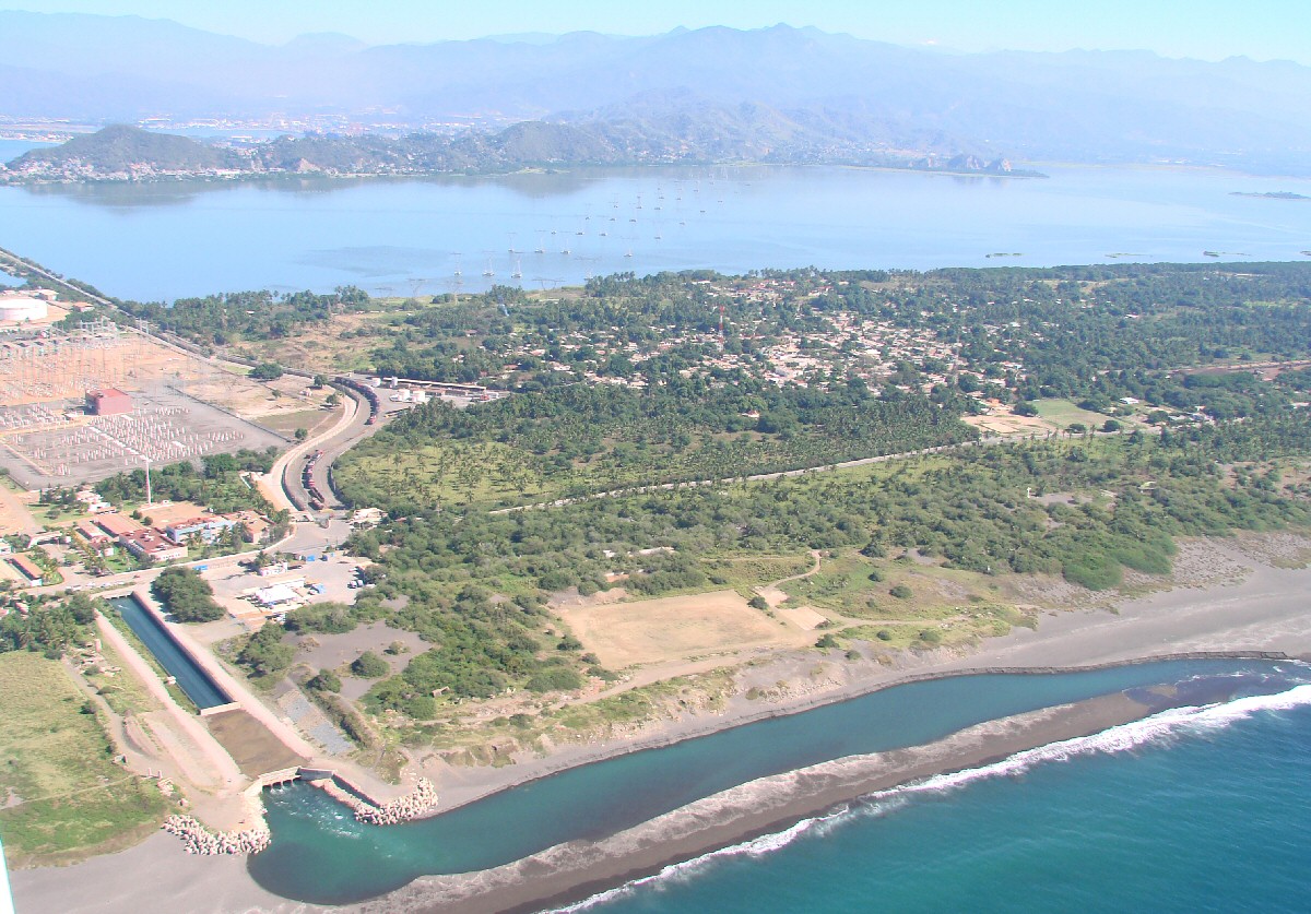
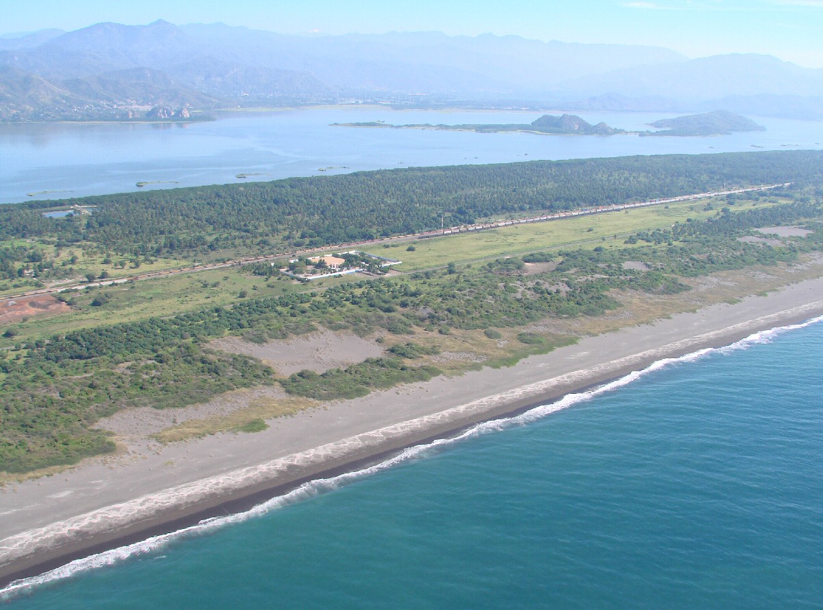
Playa Campos and cooling water discharge for Manzanillo power plant


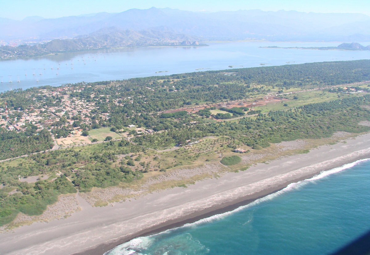
Playa Campos, Col. Campos neighborhood at left


Playa Campos


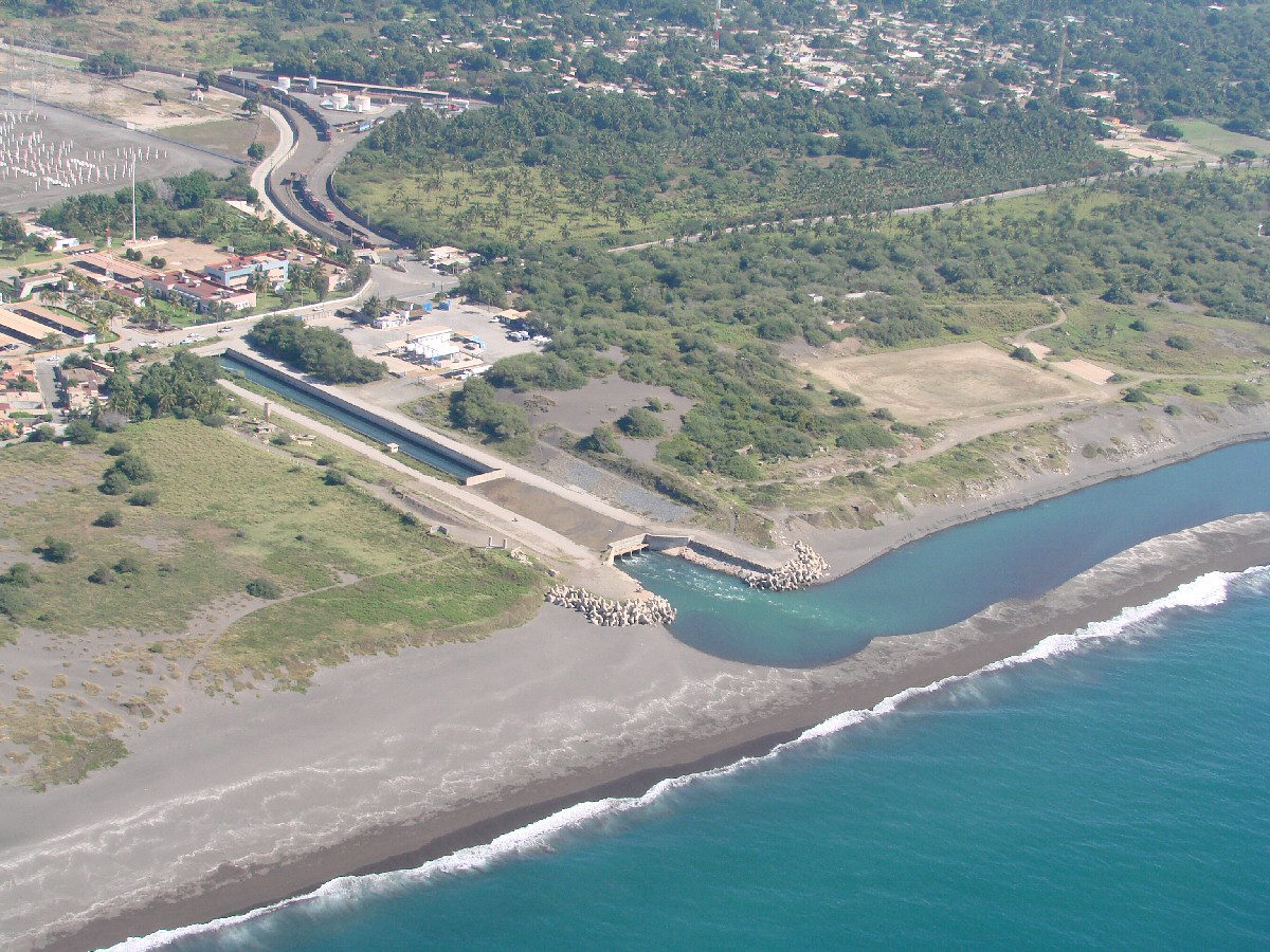
This appears to be the cooling water intake for the power plant, Laguna de Cuyutlán in background
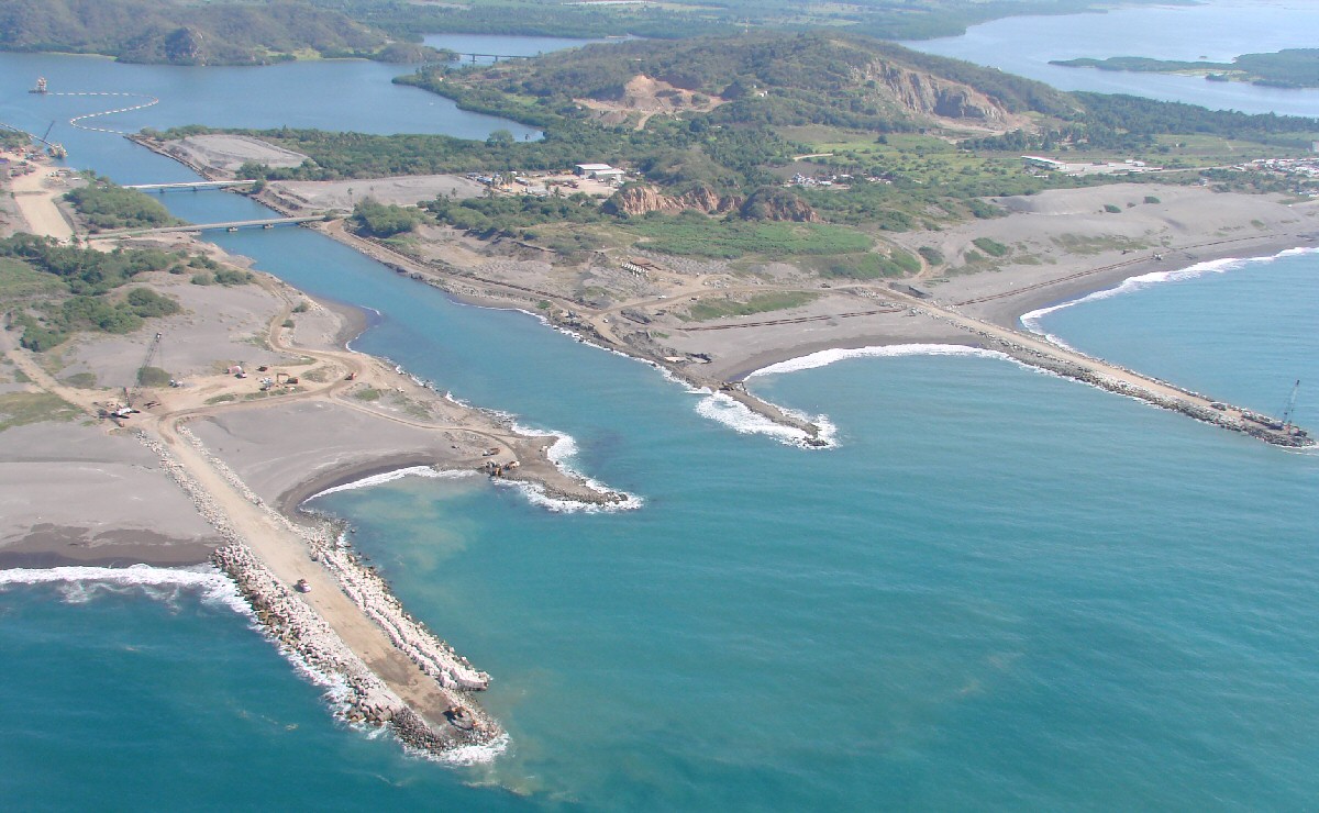

A closer look


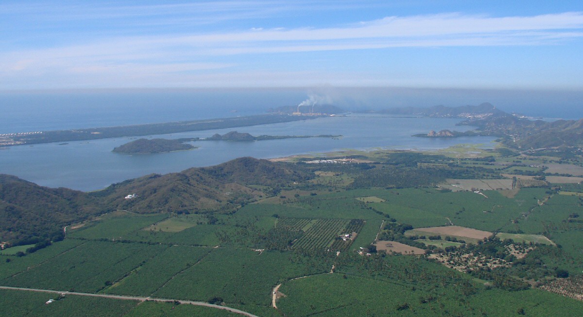
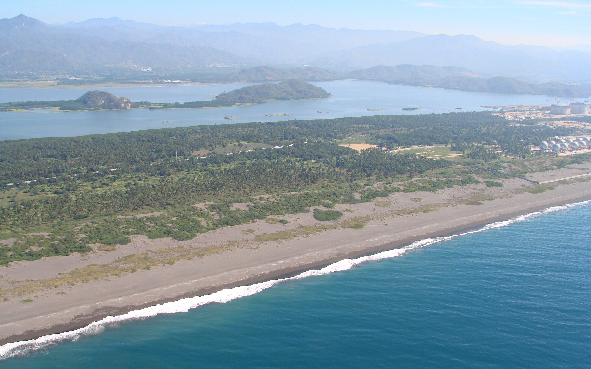
Manzanillo power plant is seen in the distance viewed from the east, Playa Campos at left

< Manzanillo | Playa Campos | Cuyutlán >


| Top of page | Main index | Search | What's new |