Home >>
Oaxaca >>
Huatulco >>
Flight to Huatulco >>
Photographing the Playas >>
Playas of Oaxaca
Playa Zapotengo and Playa Tahueca
Playas of Oaxaca - Aerial Photos
Return to Flight to Huatulco
|
|
|
|
< Puerto Angel |
Playa Zapotengo |
Cuatonalco >
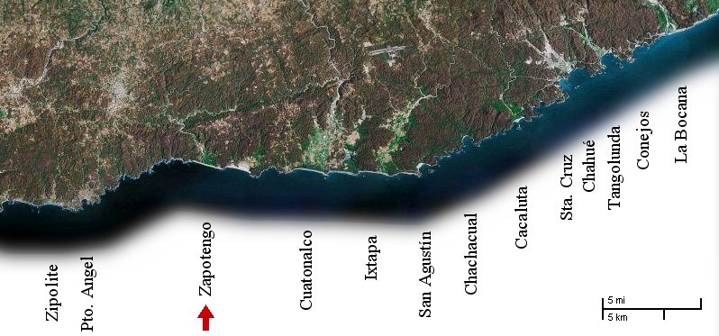
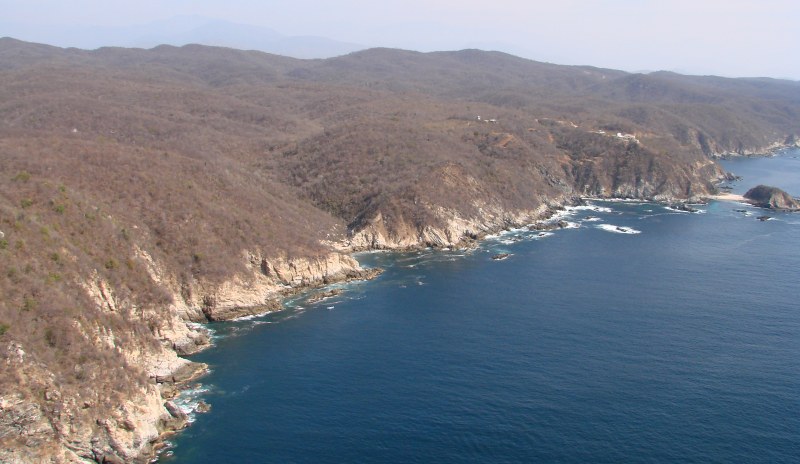
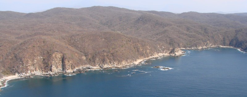
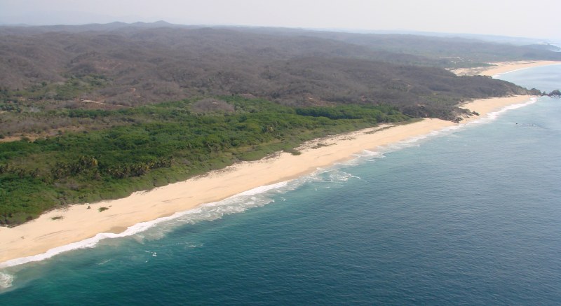
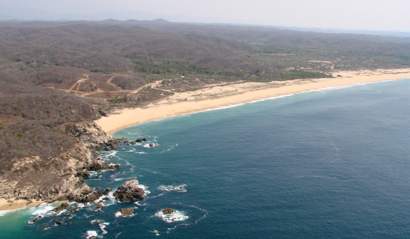
The photos on this page begin just east of Playa la Boquilla and continue to the east.
just east of Playa la Boquilla
just east of Playa la Boquilla
rocks east of Playa la Boquilla
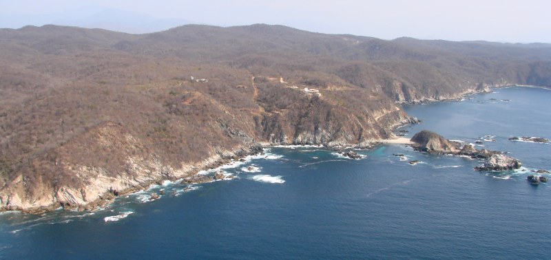
rocks east of Playa la Boquilla
rocks east of Playa la Boquilla
shoreline east of Playa la Boquilla
shoreline east of Playa la Boquilla
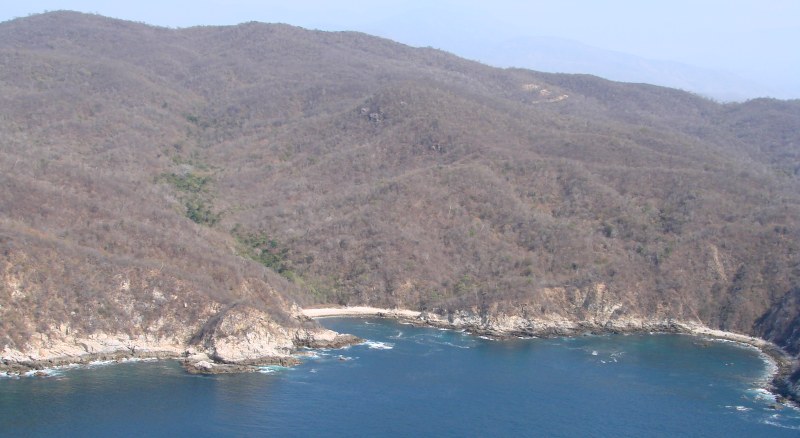
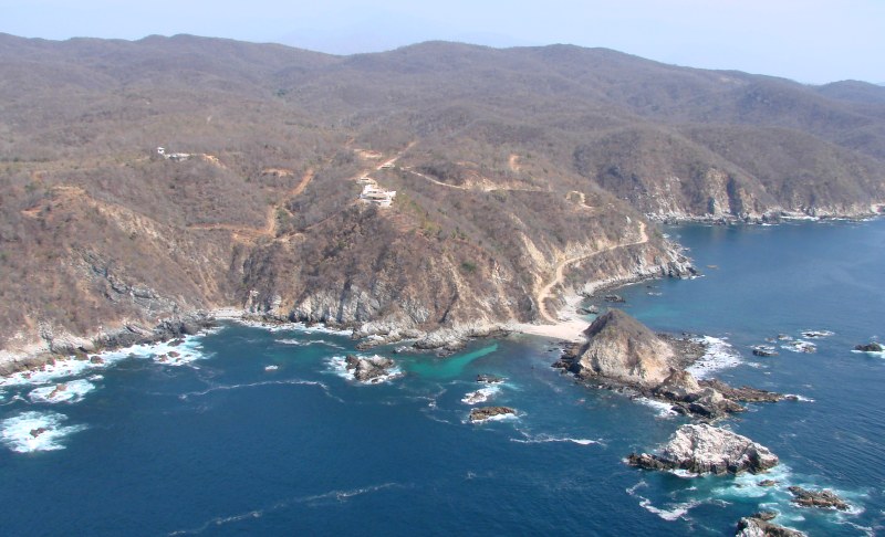
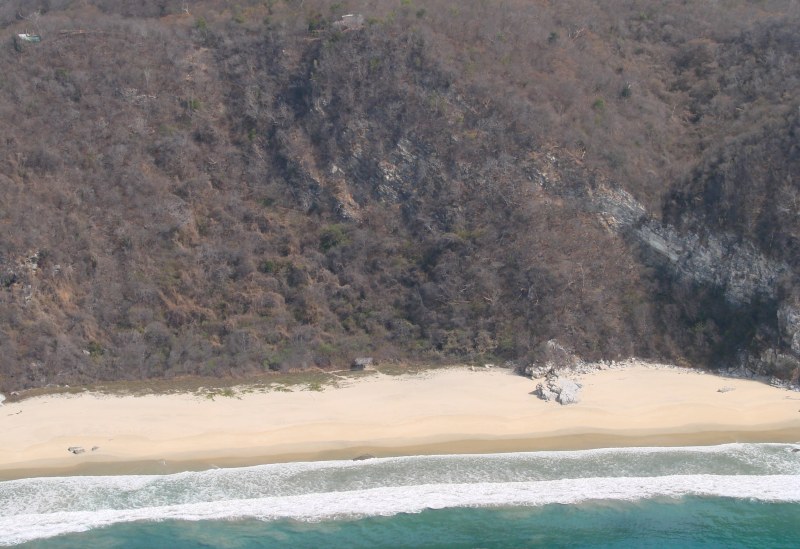
small beach east of Playa la Boquilla
small beach near Zapotengo
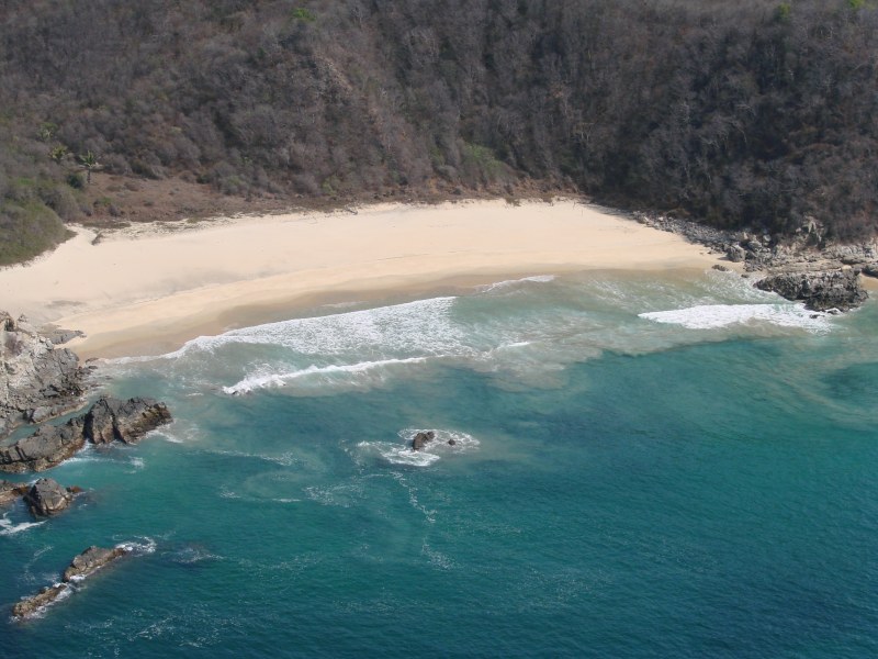
small beach near Zapotengo
small beach near Zapotengo
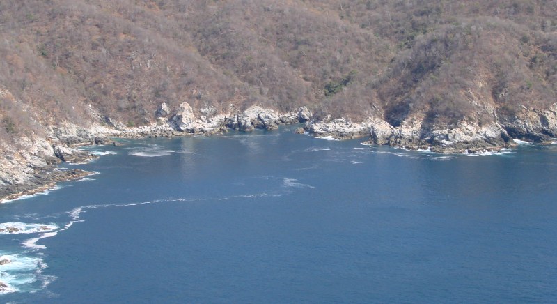
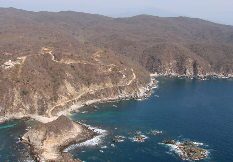
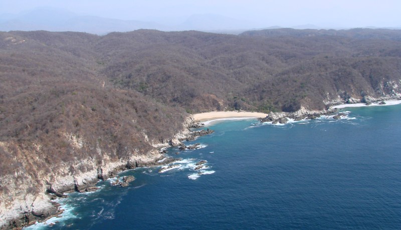
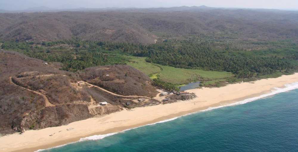
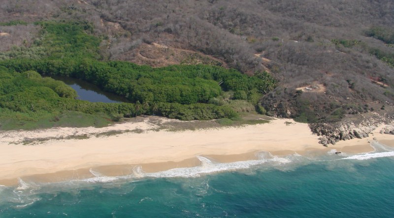
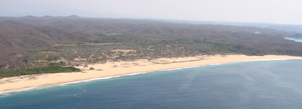
approaching the Laguna de Zapotengo
Playa Zapotengo and Laguna de Zapotengo
To get to Zapotengo by land, turn off highway 200 to the south at the km 217 vile marker near the Puente de Aguacate east of Pochutla. The village is 2 miles down the dirt road.
The locals can provide excursions into the Laguna de Zapotengo for a modest fee.
Playa Zapotengo and Laguna de Zapotengo
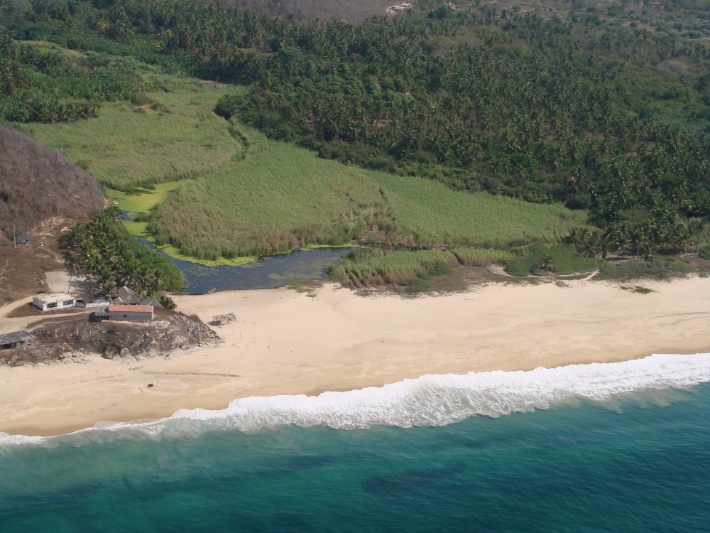
Playa Zapotengo and Laguna de Zapotengo
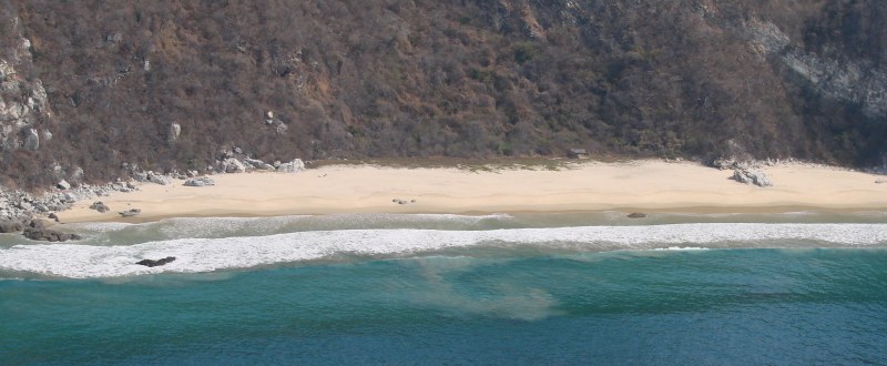
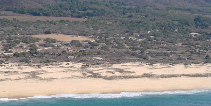
Playa Zapotengo
Playa Zapotengo and Laguna de Zapotengo
Playa Zapotengo
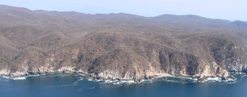
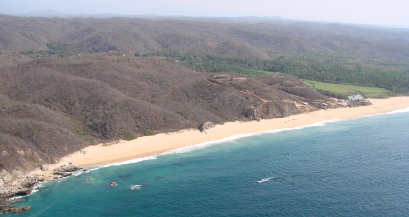
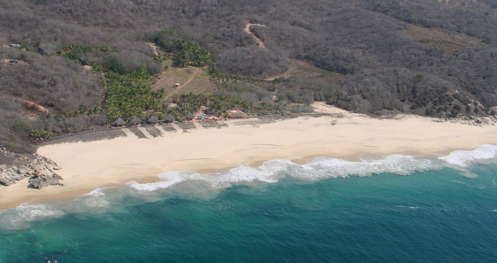
Playa Tahueca
Playa Tahueca
Playa Tahueca
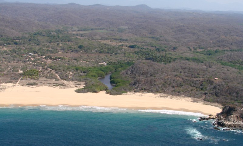
Playa Tahueca
< Puerto Angel |
Playa Zapotengo |
Cuatonalco >
|
Top of page |
Photographing the Playas |
Main index |
Search |
What's new |