Home >> Oaxaca >> Huatulco >> Flight to Huatulco >> Photographing the Playas >> Playas of Oaxaca

Laguna Ventanilla

Playas of Oaxaca - Aerial Photos

Return to Flight to Huatulco

Main Index
Huatulco, Oaxaca
Flight to Huatulco
Huatulco International Airport
Río Tonameca
Laguna Ventanilla
Playa Ventanilla
Transportation
Telephone Numbers
Oaxaca Weather
Visitors' Comments
AboutHomeSearch

< Barra El Potrero | Laguna Ventanilla | Punta Cometa >

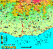
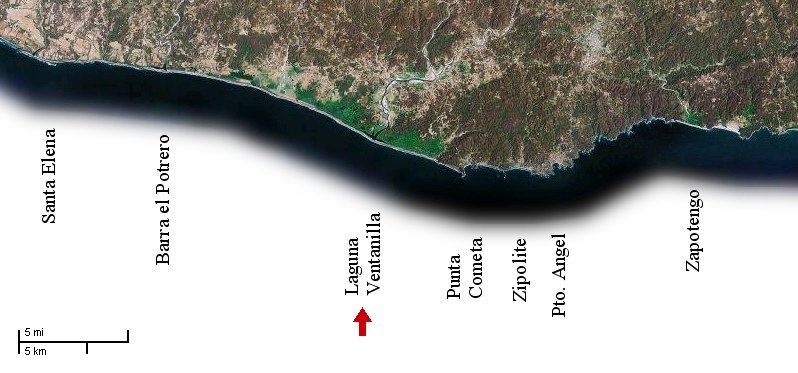
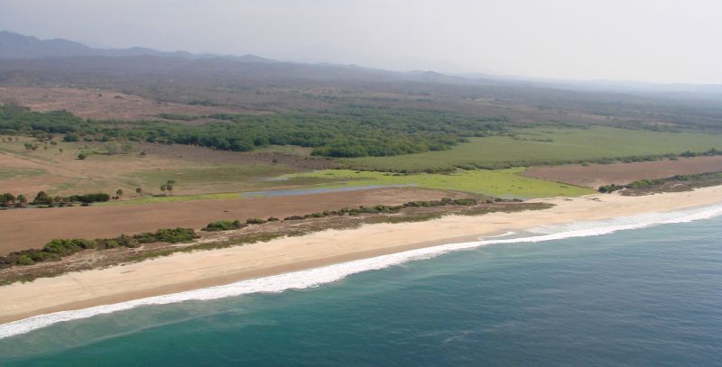
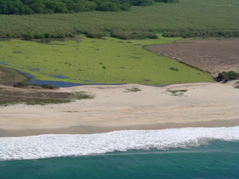
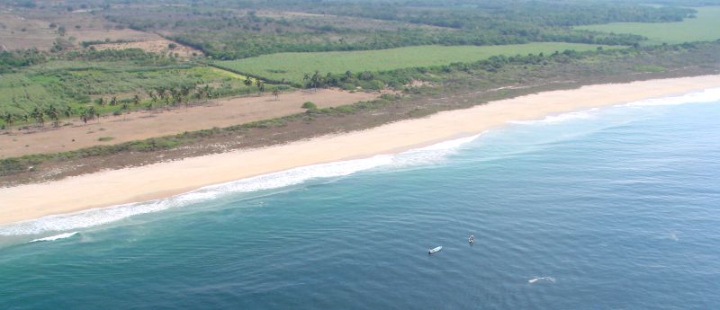
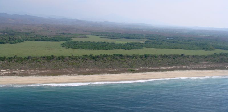
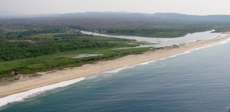
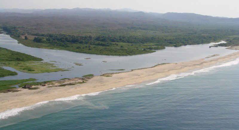
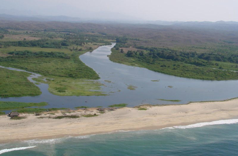
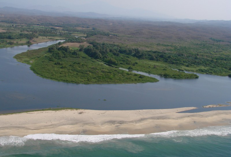
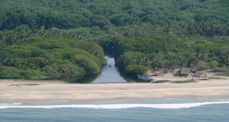
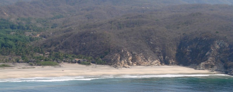
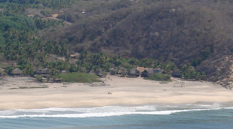
The photos on this page begin at the western edge of Laguna Ventanilla where the Río Tonameca empties into the Pacific and continue to the east.


Laguna Ventanilla


Detail of above


Boats out in the ocean along the Río Tonameca lowlands


Laguna Ventanilla


mouth of the Río Tonameca


a closer look


mouth of the Río Tonameca


mouth of the Río Tonameca


Laguna Ventanilla, eastern area


Playa Ventanilla


Detail from above photo

< Barra El Potrero | Laguna Ventanilla | Punta Cometa >


| Top of page | Photographing the Playas | Main index | Search | What's new |