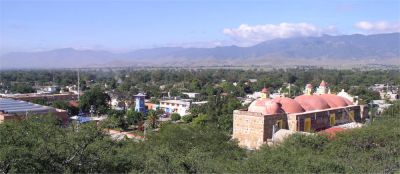
View of Zaachila. See larger photo.
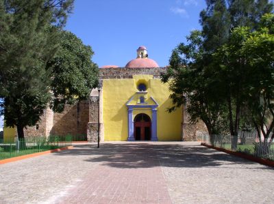
Church of the Virgen de Juquila
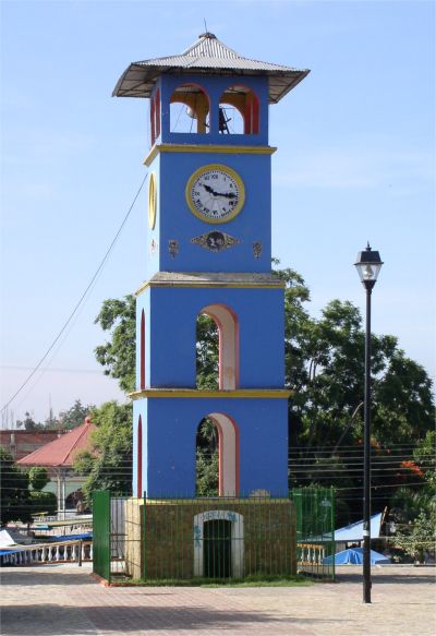
Clock tower located at the center of town in front of the Church of the Virgen de Juquila |
|
|
The city of Zaachila is located 16 km south of Oaxaca City. The town is named for the Zapotec ruler, Zaachila Yoo, who ruled the region in the late 14th and early 15th centuries. The city was taken over by the Mixtec shortly before the Spaniards arrived. Zaachila is one of the few Mixtec-Zapotec capitals that was still inhabited at the time of the Spanish Conquest. Zaachila was an important center during the time from 1200 to 1521 A.D. The Zaachila archaeological site is located near the center of the present day city on a hilltop next to the Church of the Virgen de Juquila.
View of Zaachila. See larger photo.
Church of the Virgen de Juquila |
|