|
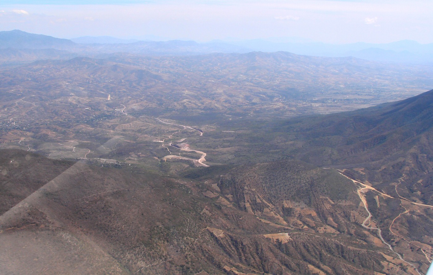
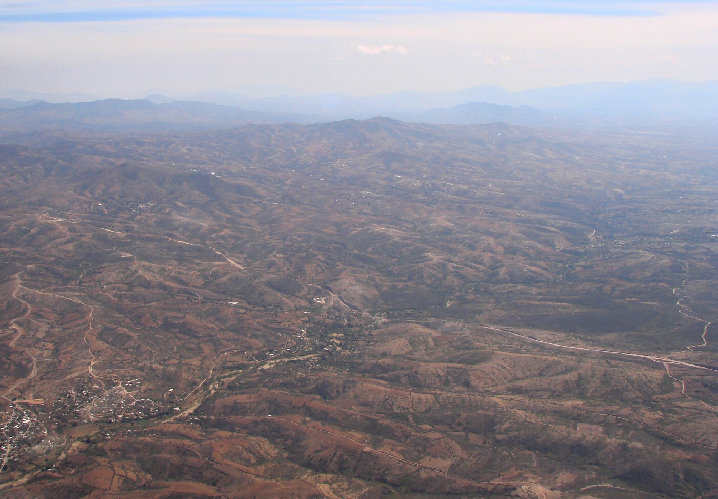
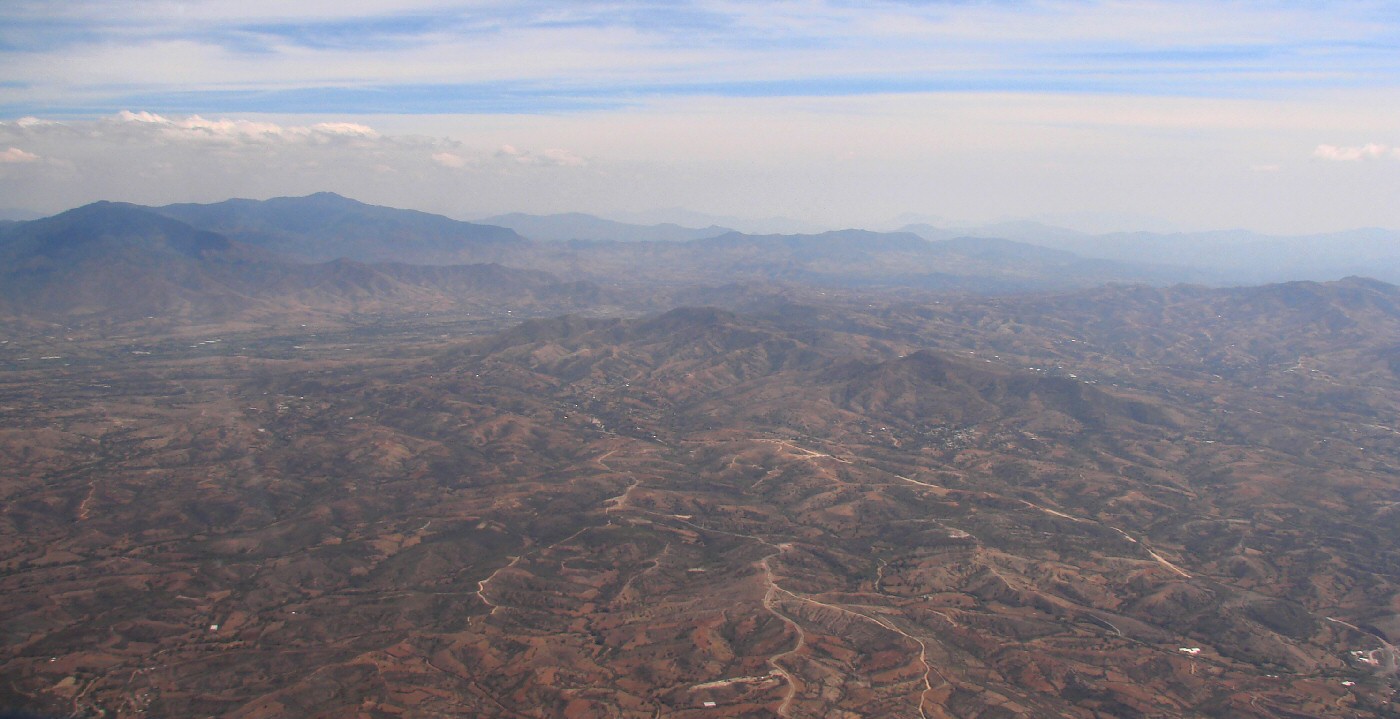
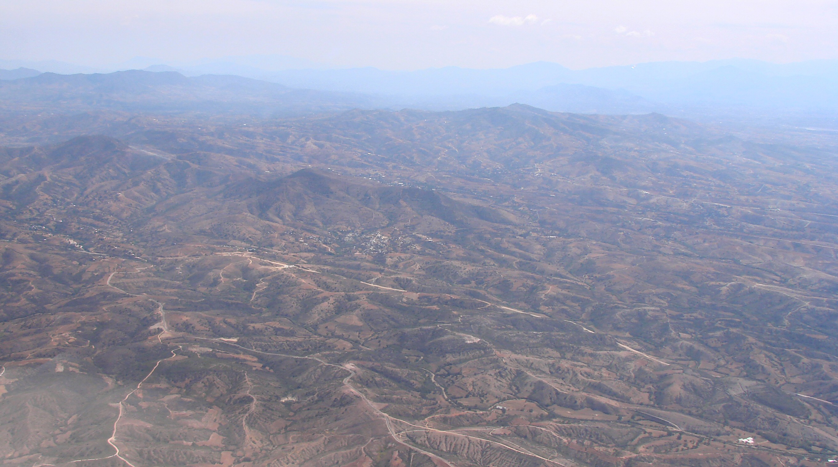
Two miles north of San Vicente Coatlán 16.43,-96.835 Google Maps
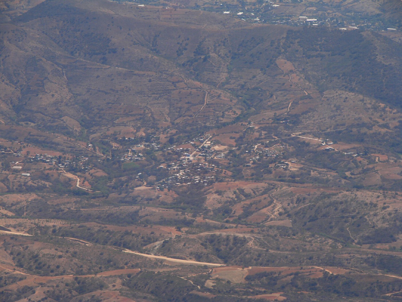
Yogana
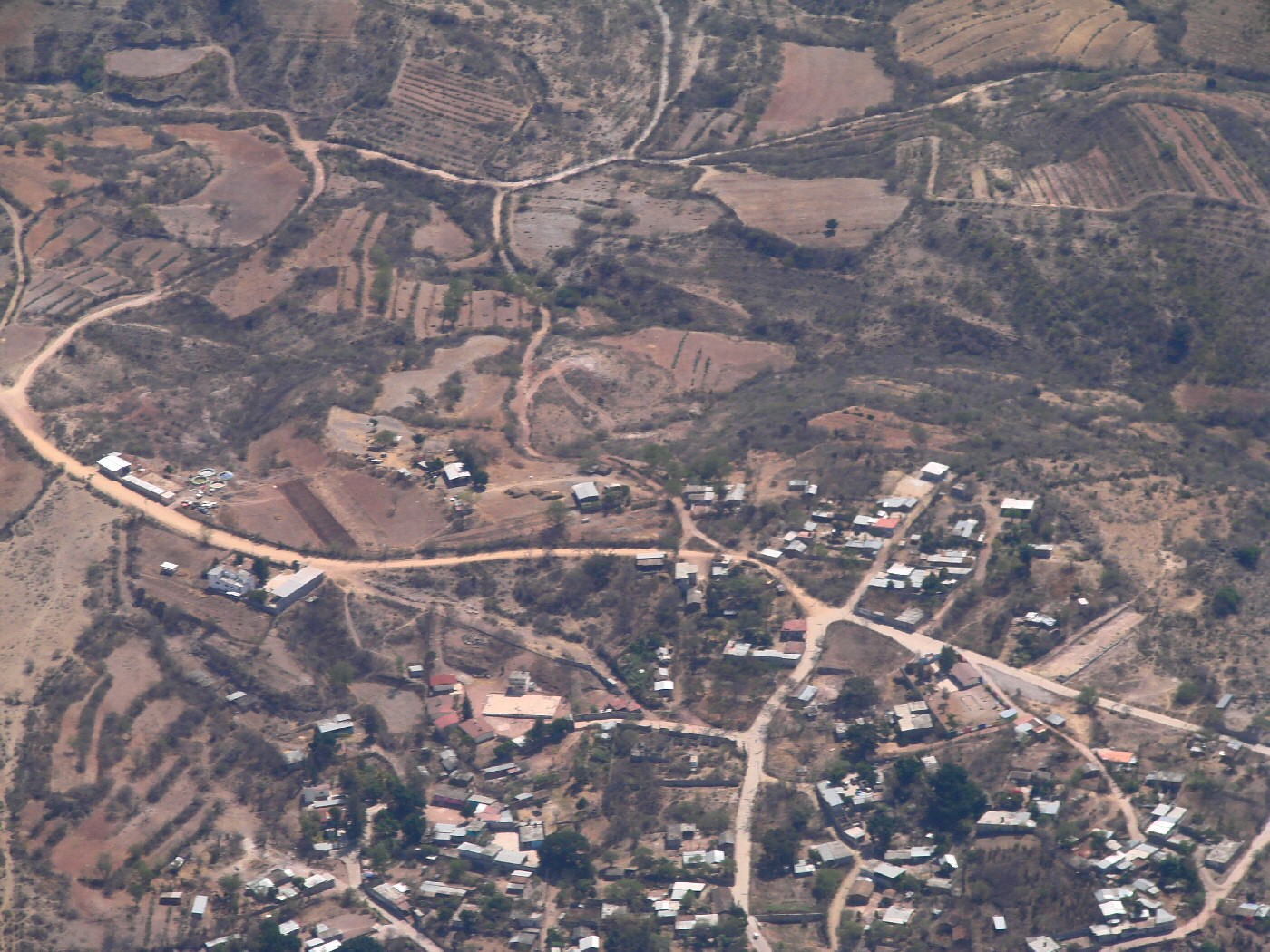
Yogana
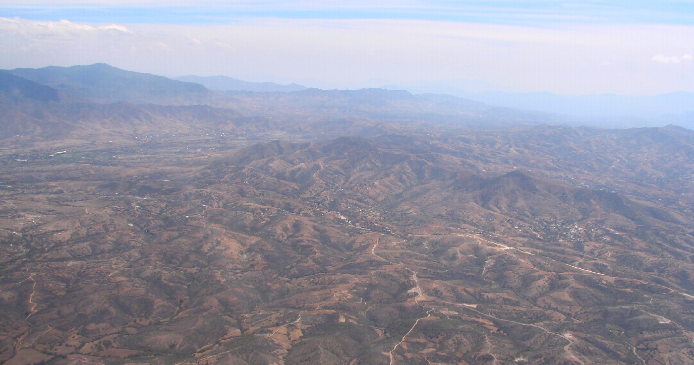

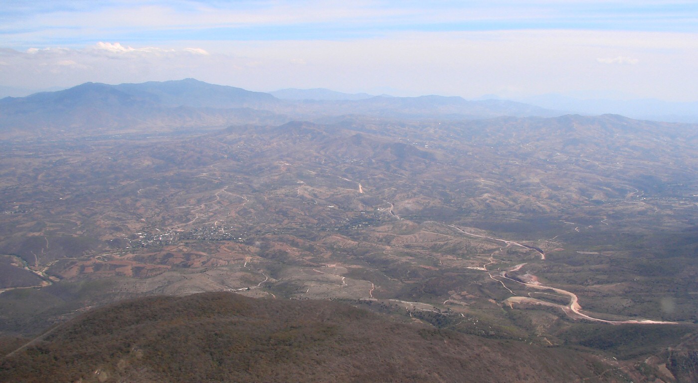
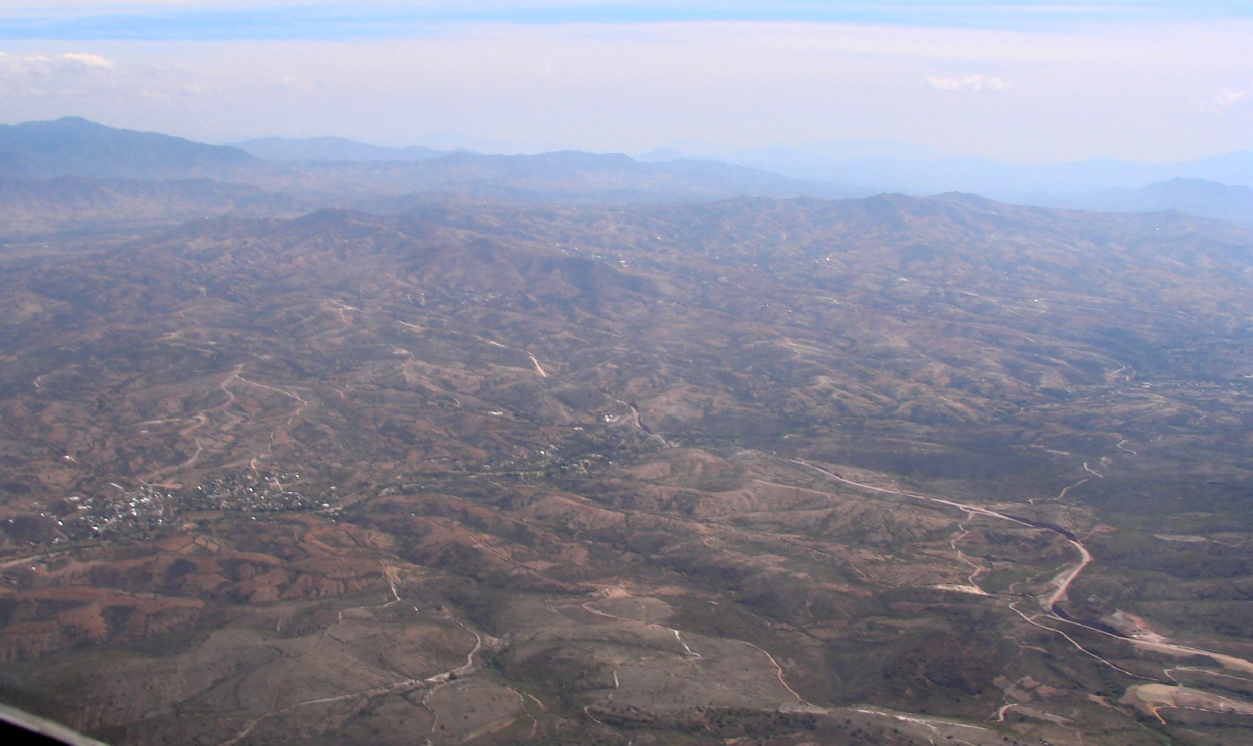
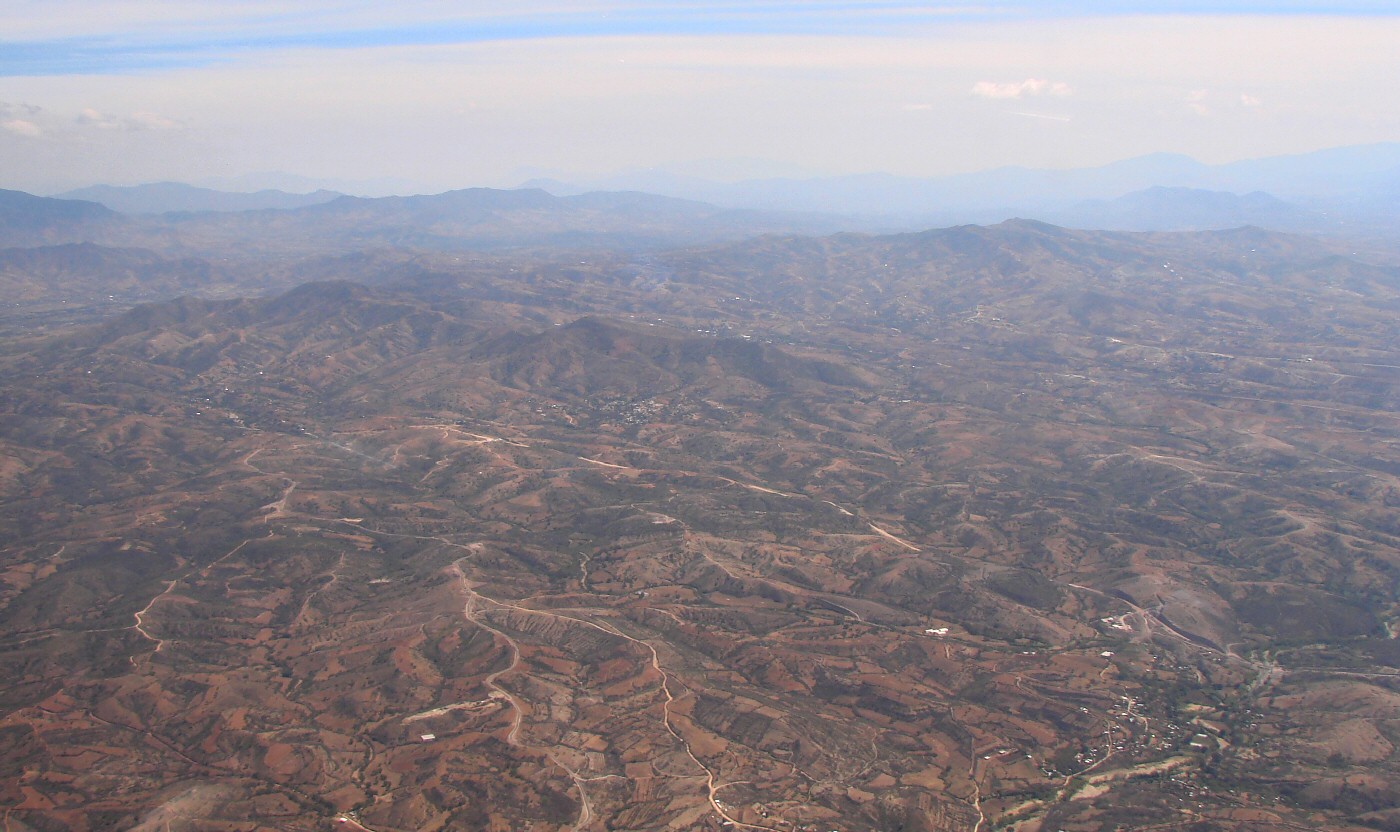
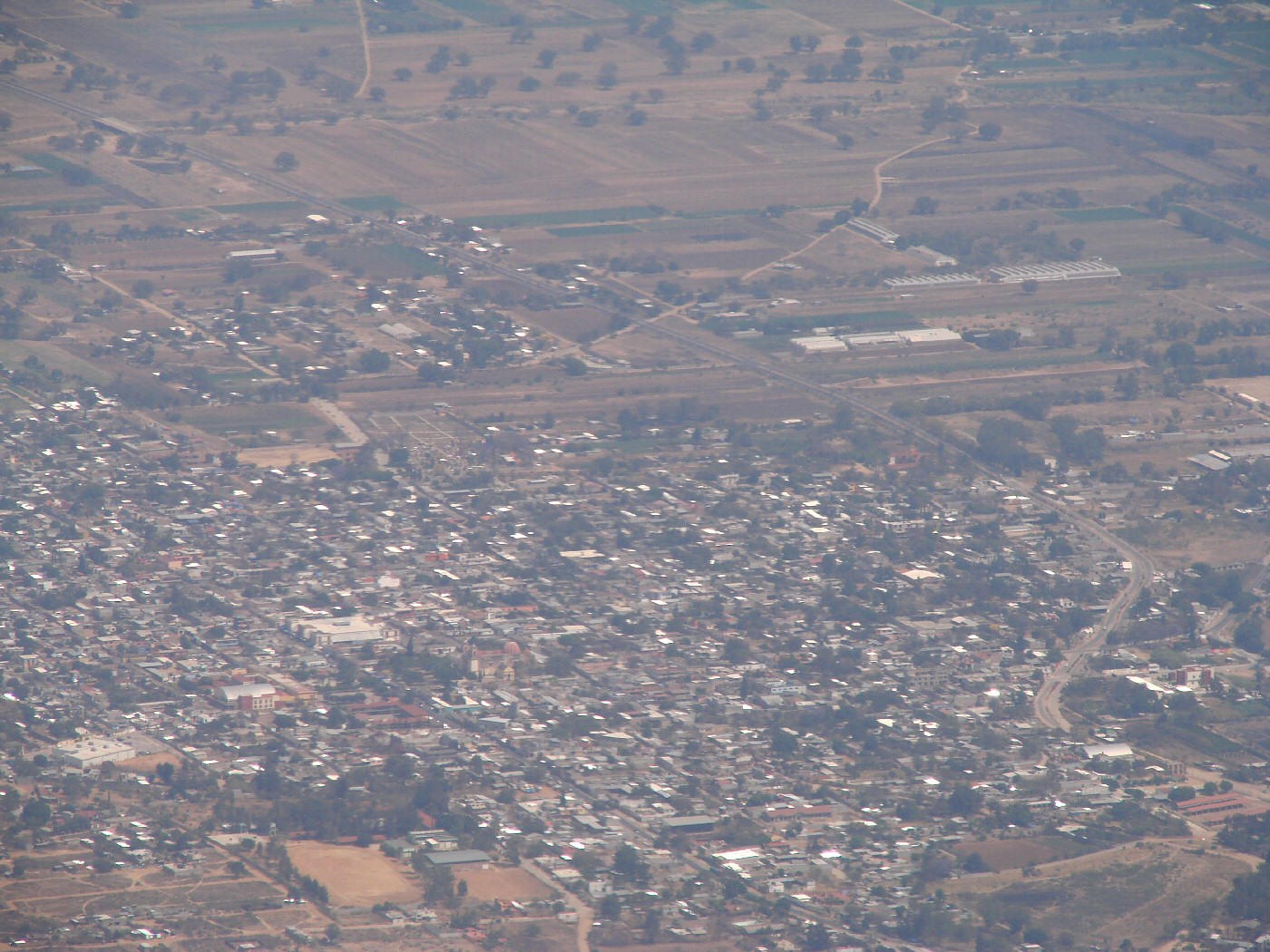
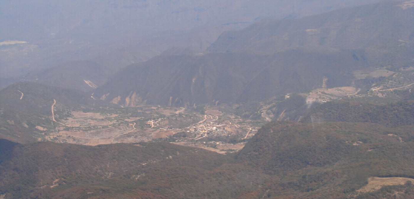
One mile south of San Agustín Amatengo 16.494,-96.794 Google Maps

Oaxaca
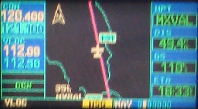
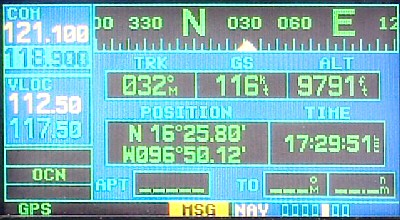
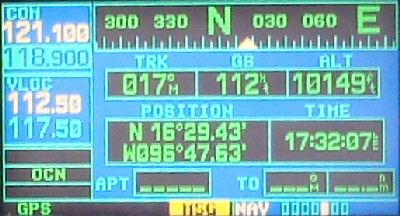
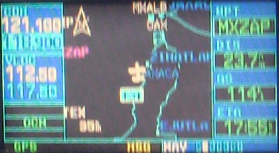
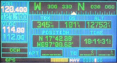
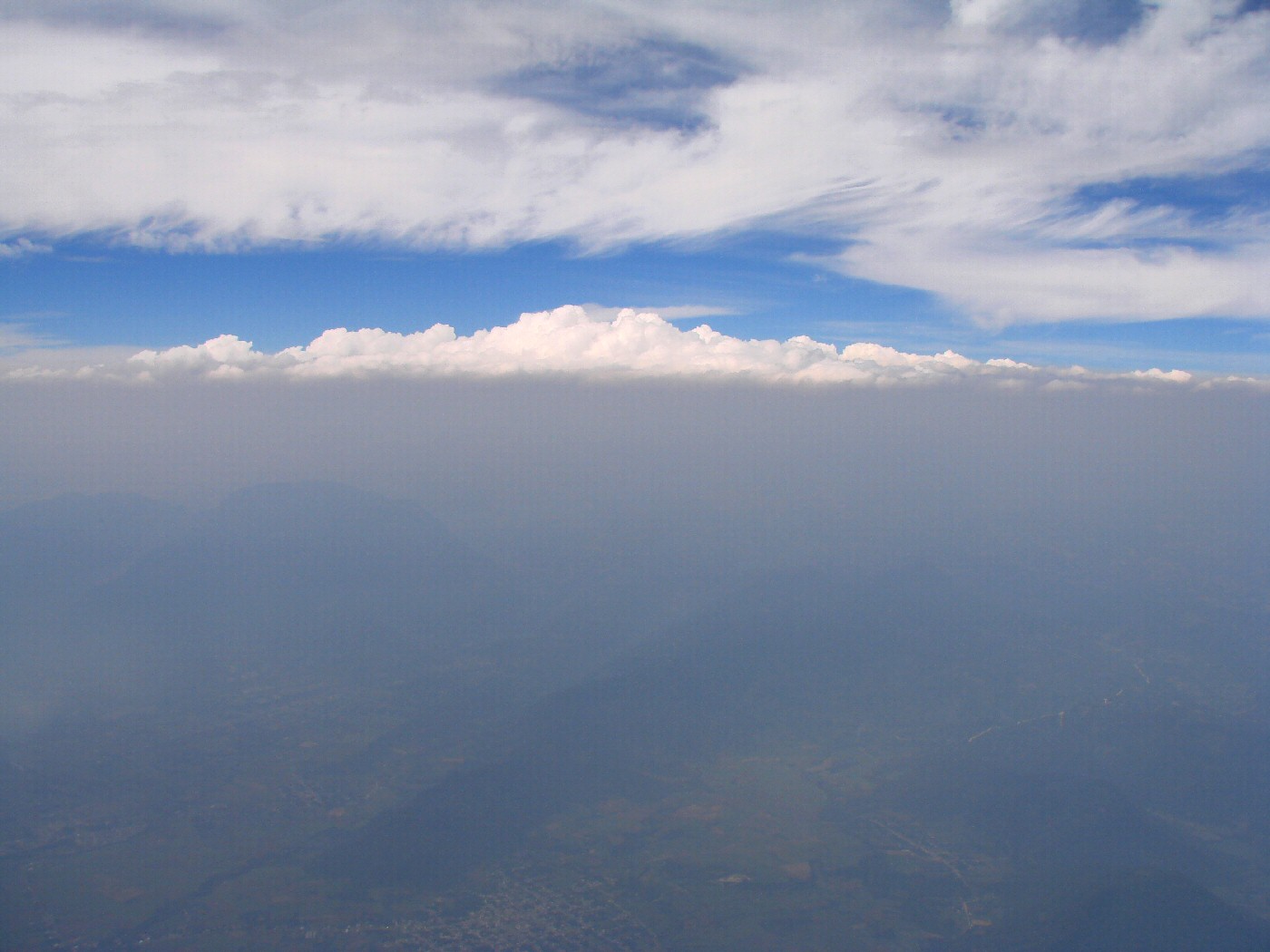
49.4 nautical miles south of MXVAL Waypoint
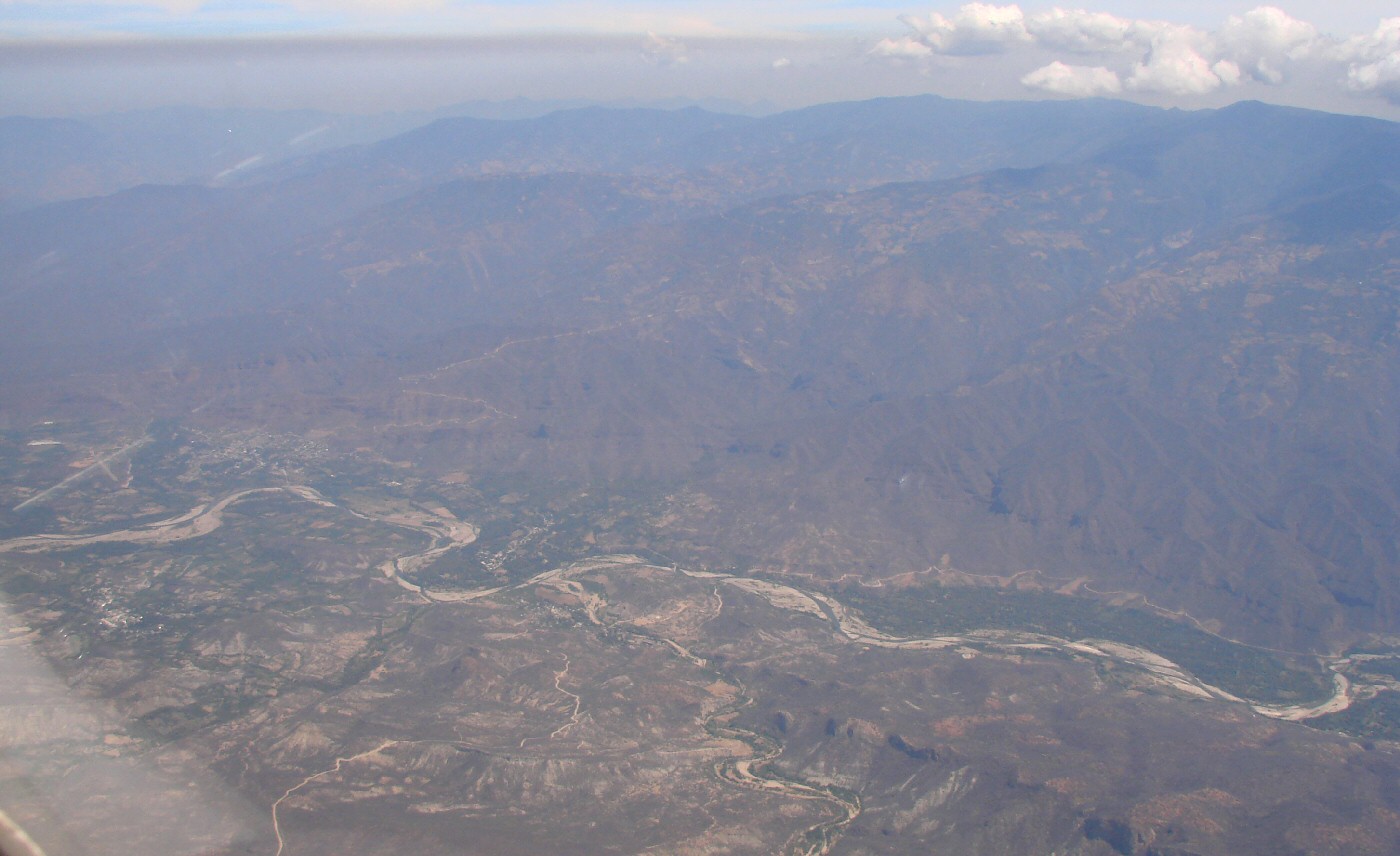
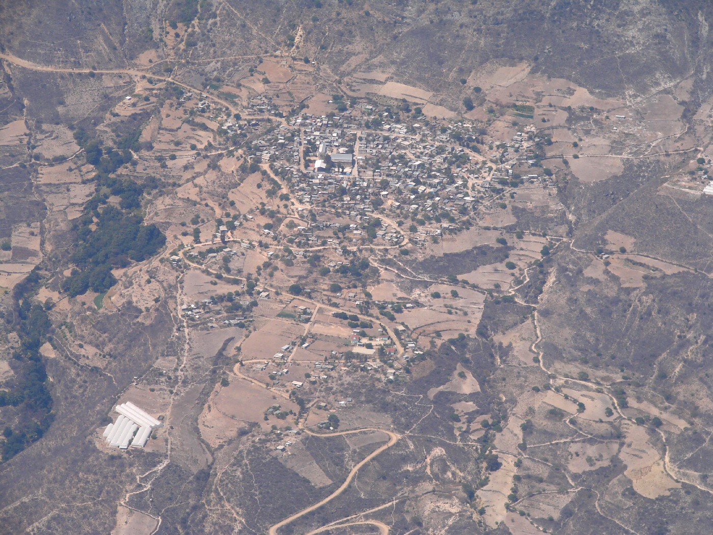
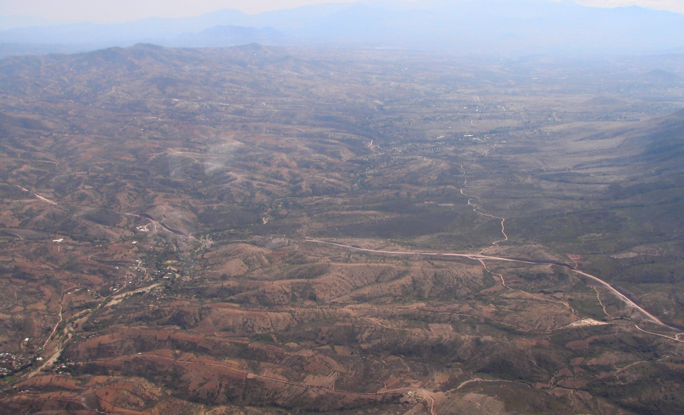
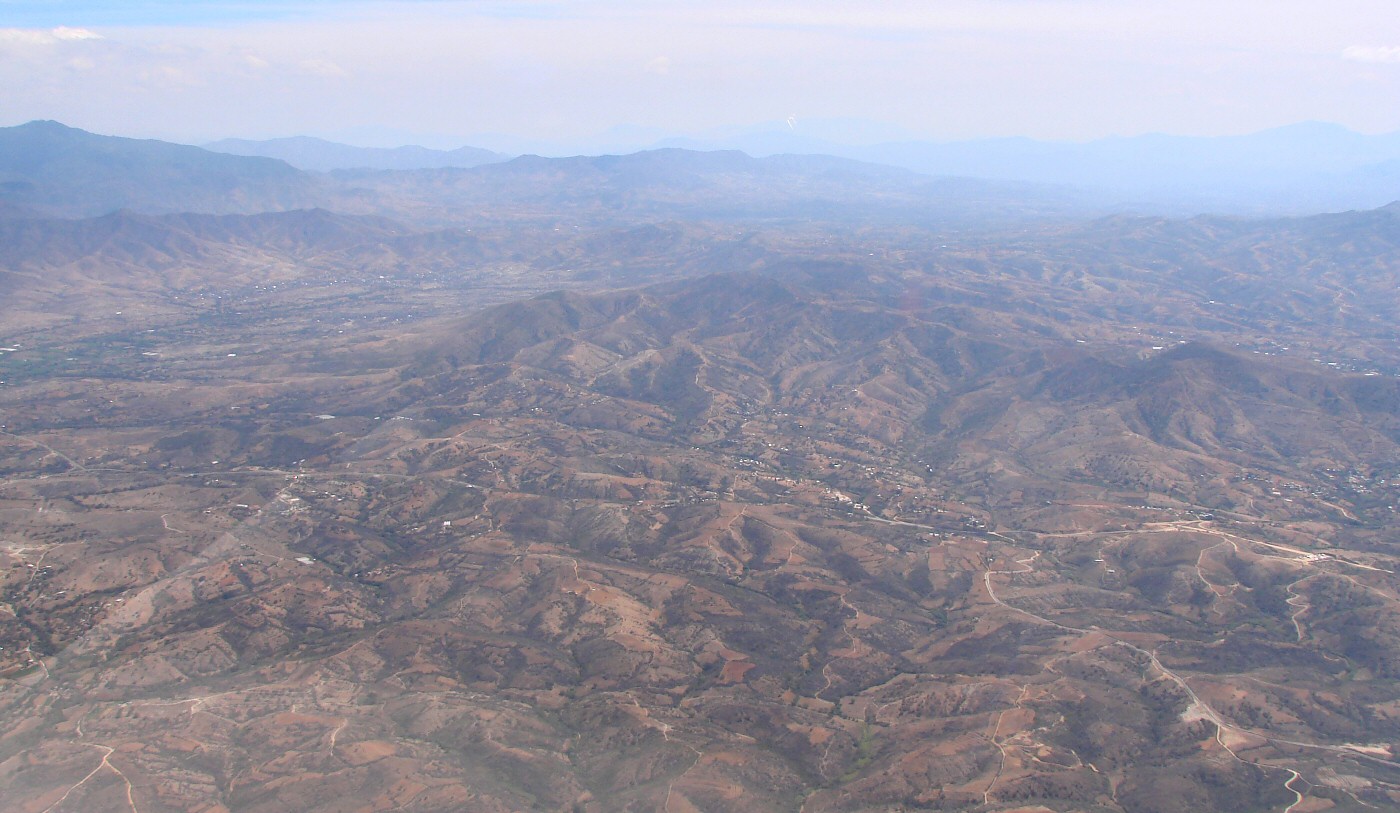
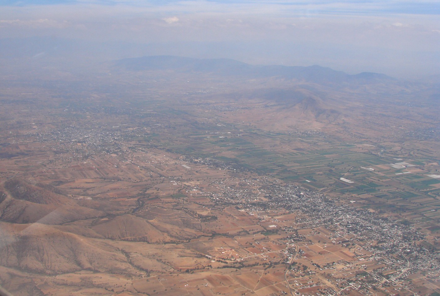
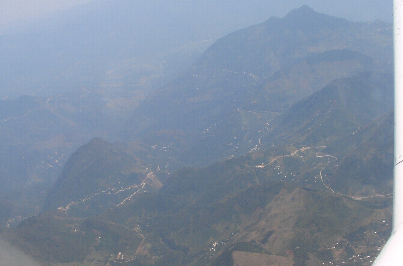
Three miles east of Santa María Texcatitlán 17.705,-97.01 Google Maps
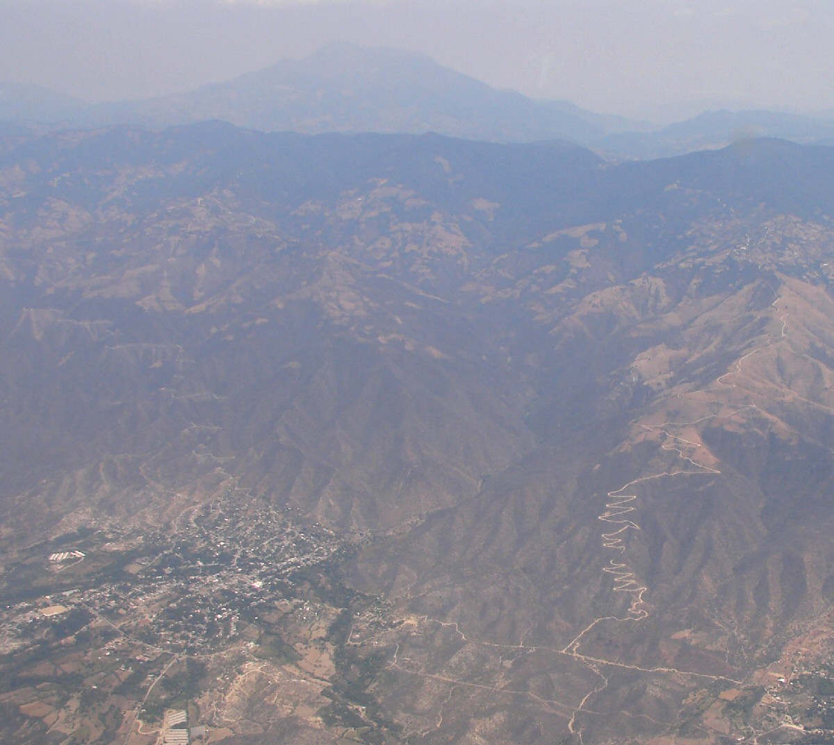
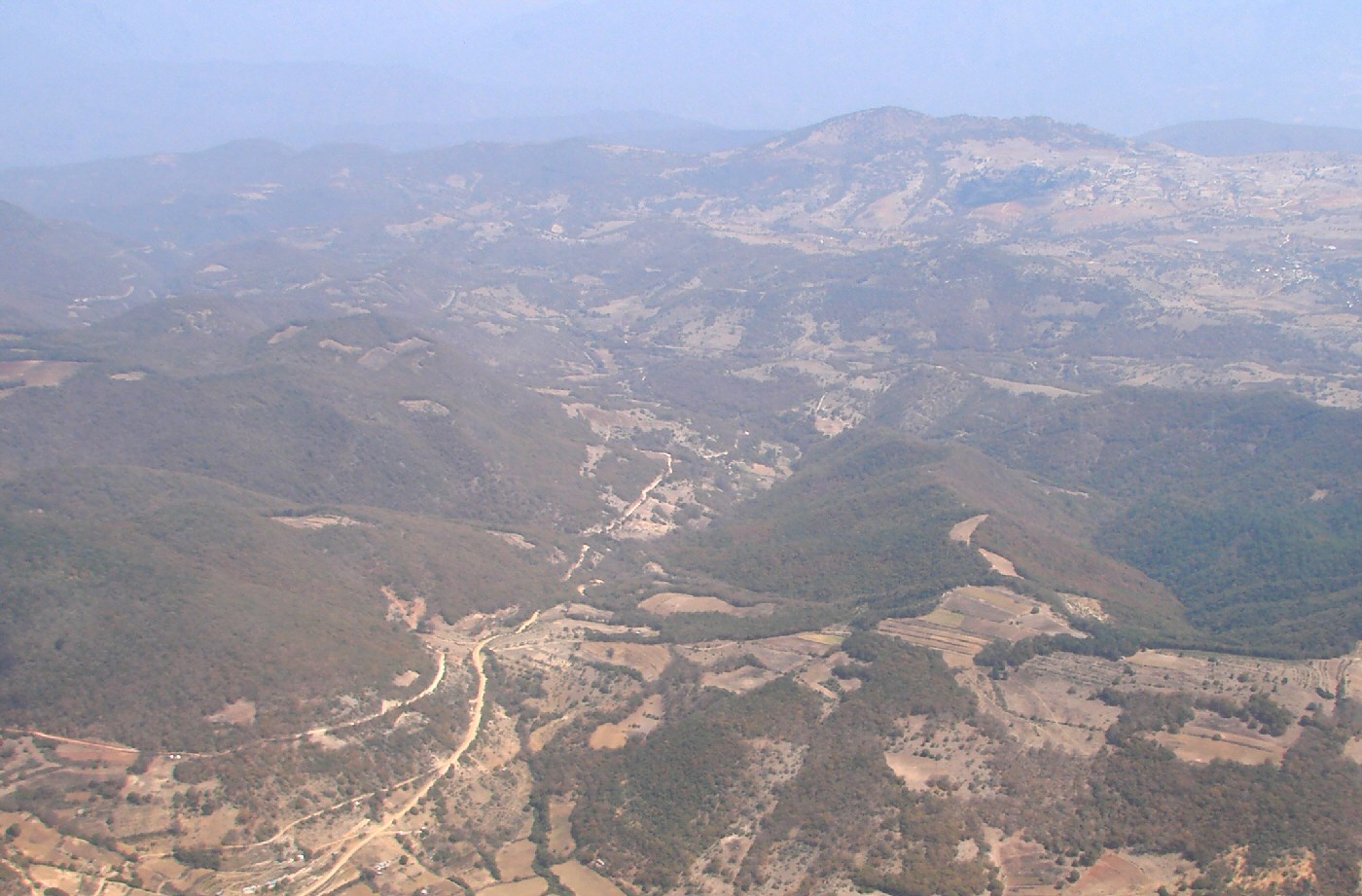
Teotitlán and a switchback road that leads to Santa María Teopoxco and San Francisco Huehuetlán
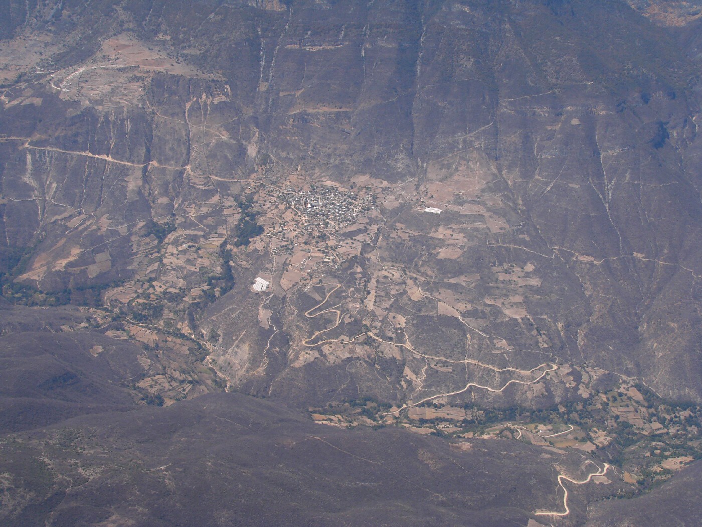
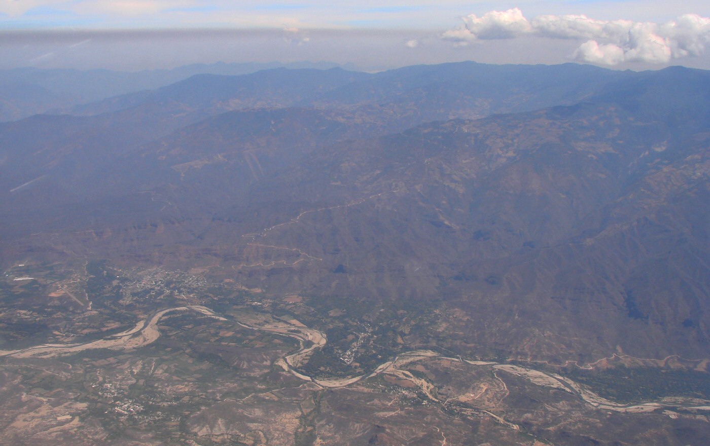
Approaching MXTEO waypoint 18.17,-97.08 in the Valley of Oaxaca near Teotitlán Google Maps
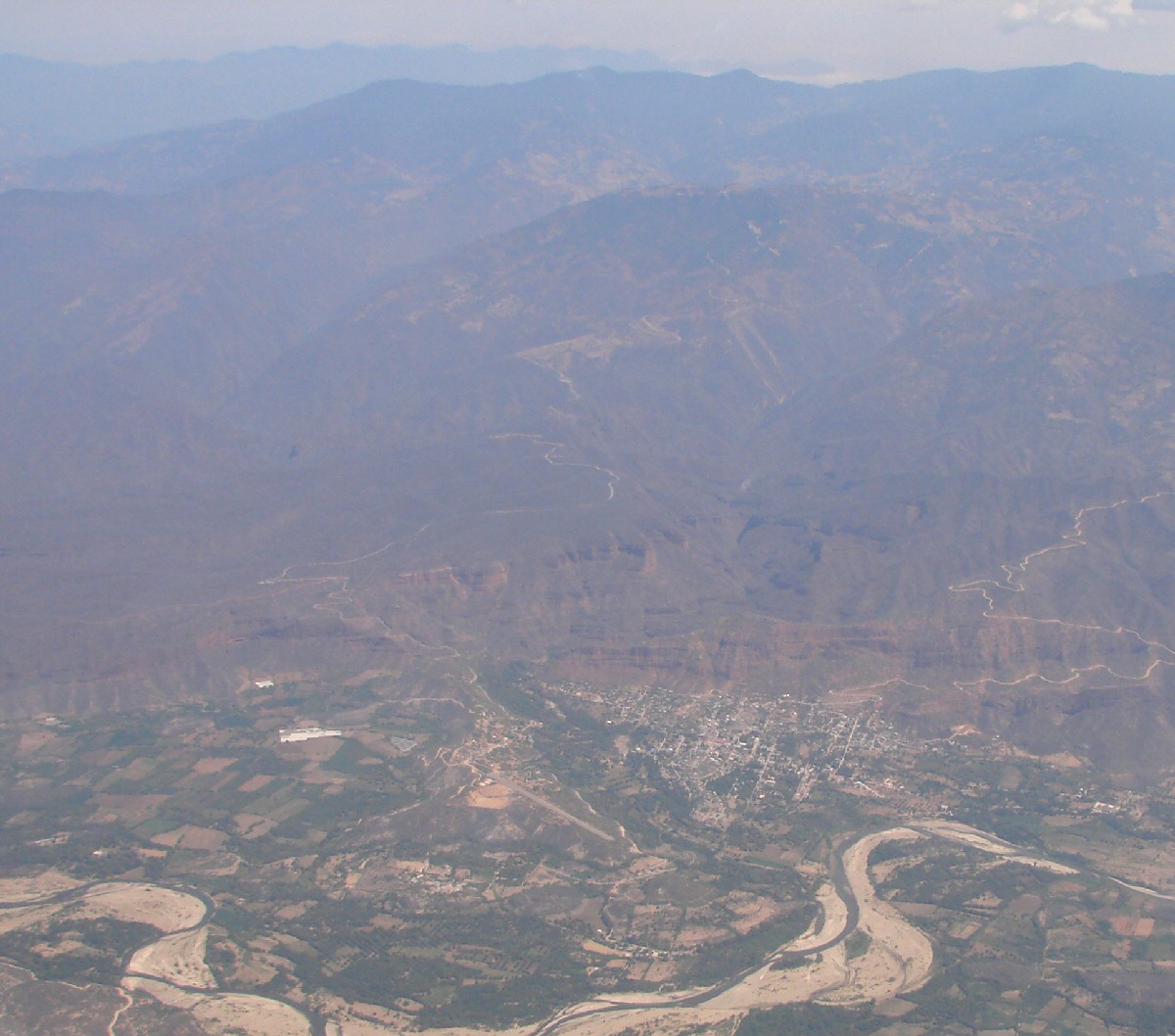
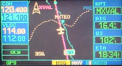
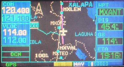
MXVAL Waypoint 18.35,-97.16 in the Valley of Oaxaca near Tehuacán Google Maps
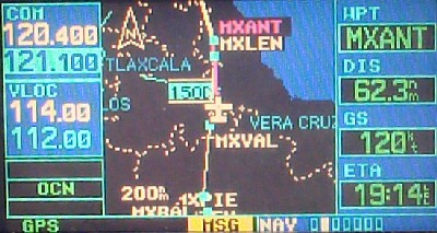
MXORZ Waypoint 19,-97.14, just east of Pico de Orizaba Google Maps