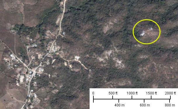
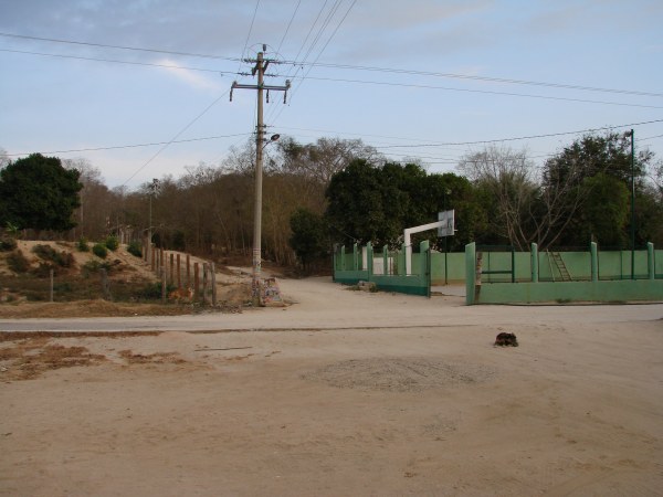
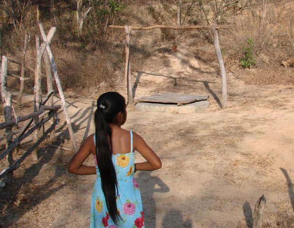
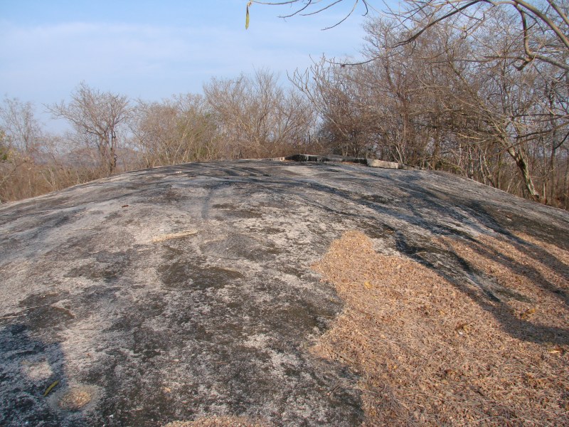
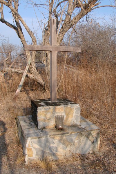
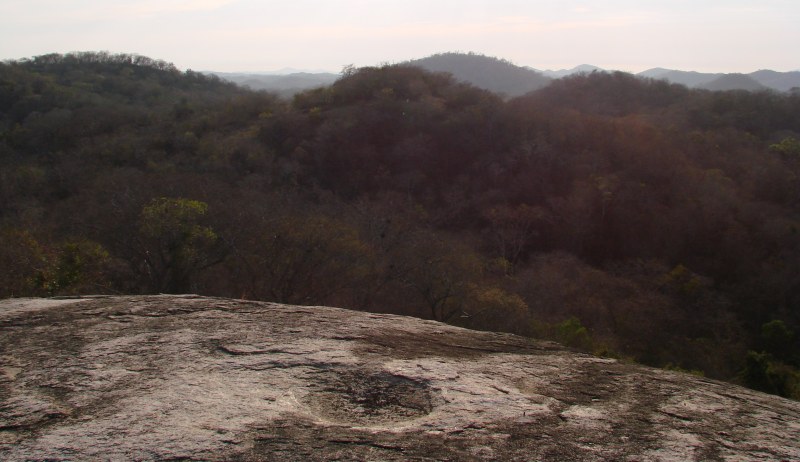
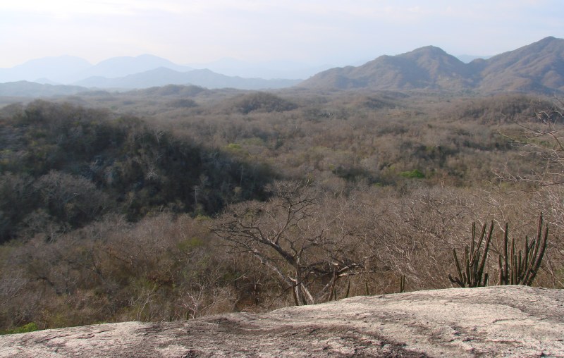
More PhotosPiedra de los MorosReturn to Piedra de los Moros | 
|
|
|
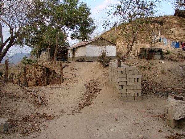
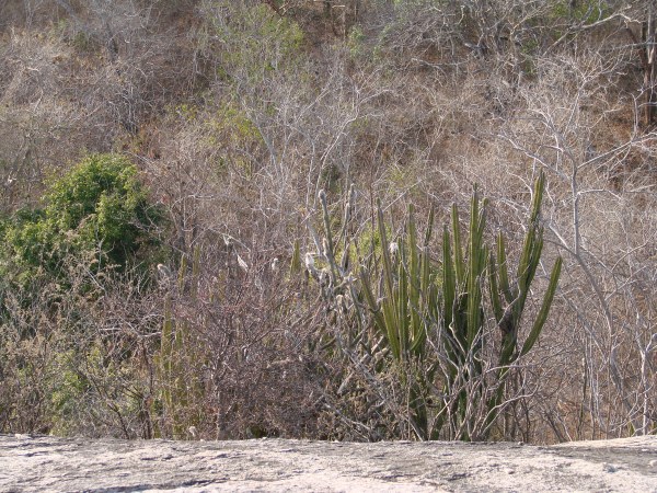
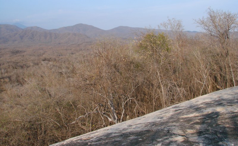
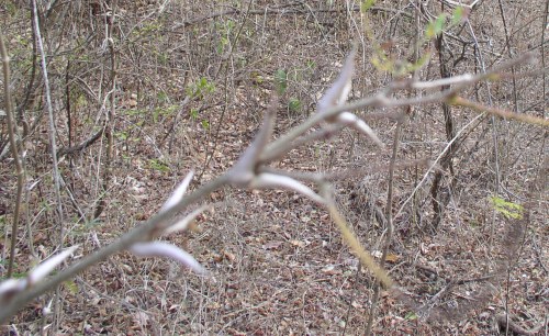 There were several varieties of plants with thorns that our guide helped us avoid. I think this was called tlachinaste. |
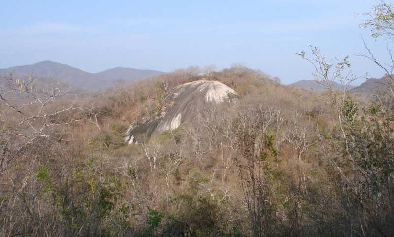
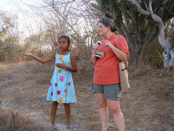
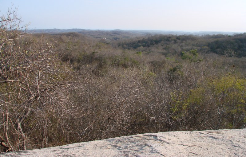
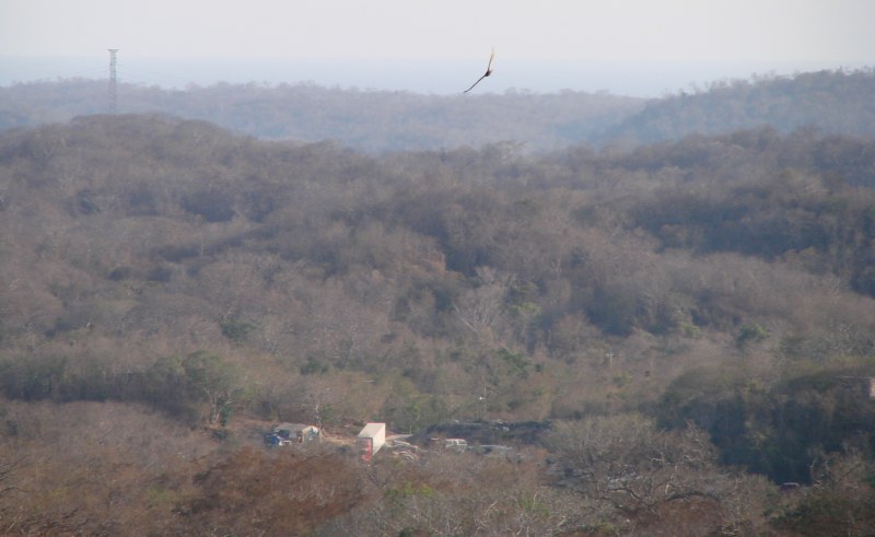
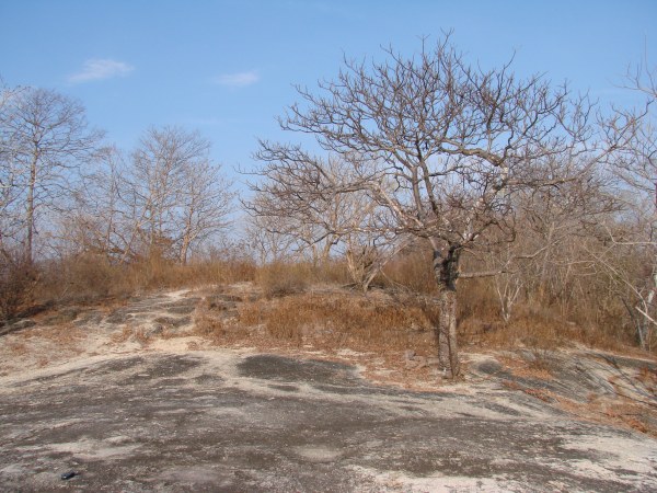
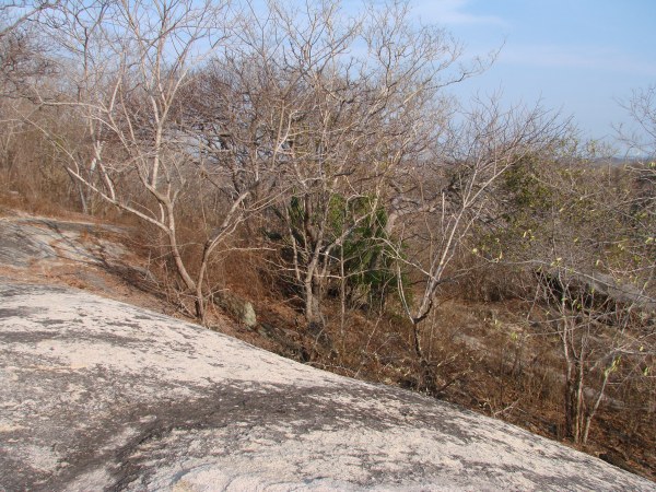
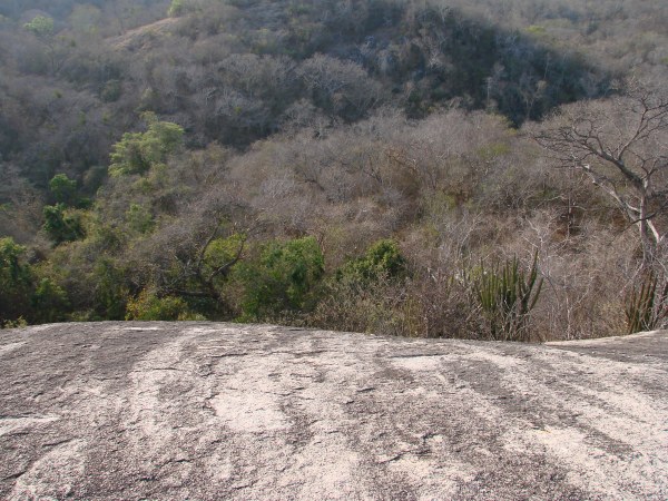
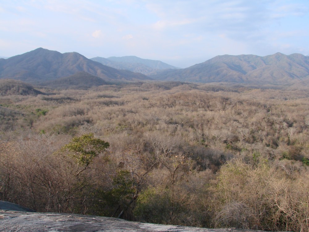
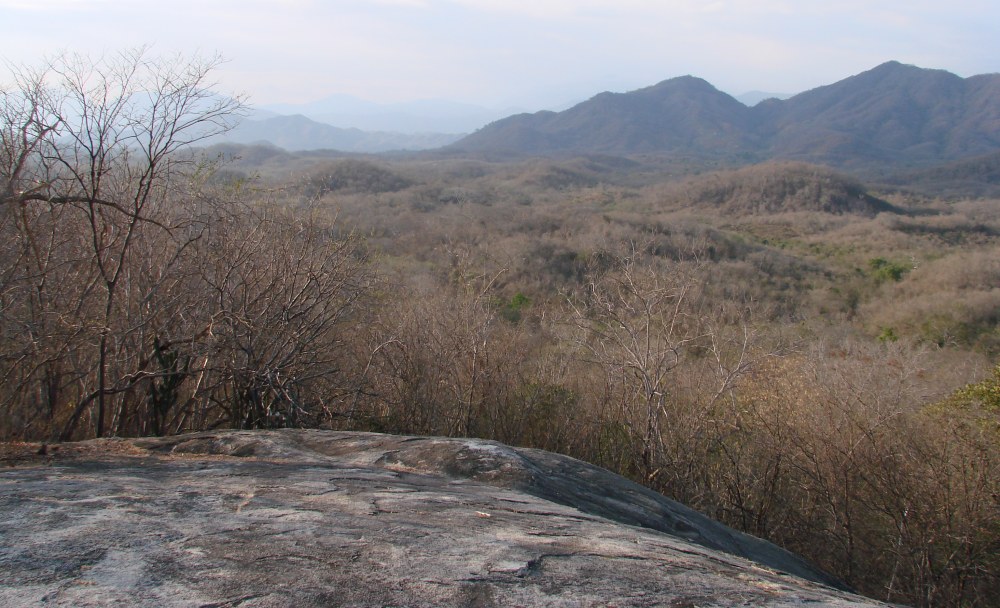
Return to Piedra de los Moros
![]() www.tomzap.com
www.tomzap.com
![]() Tom Penick:
tom@tomzap.com
Tom Penick:
tom@tomzap.com