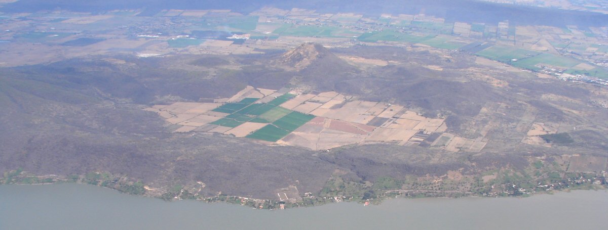
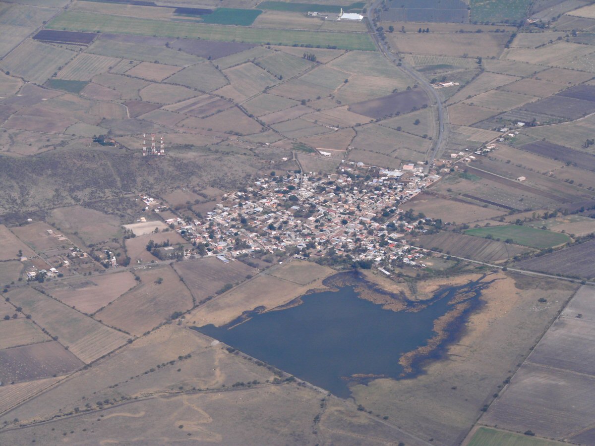
Northern shore west of Ocotlán
Northern shore west of Ocotlán
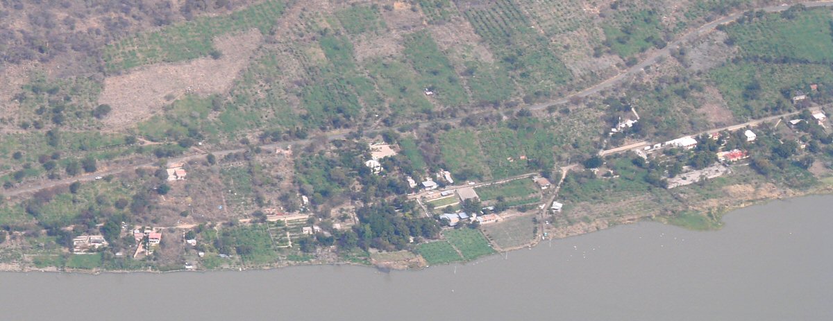
A closer look
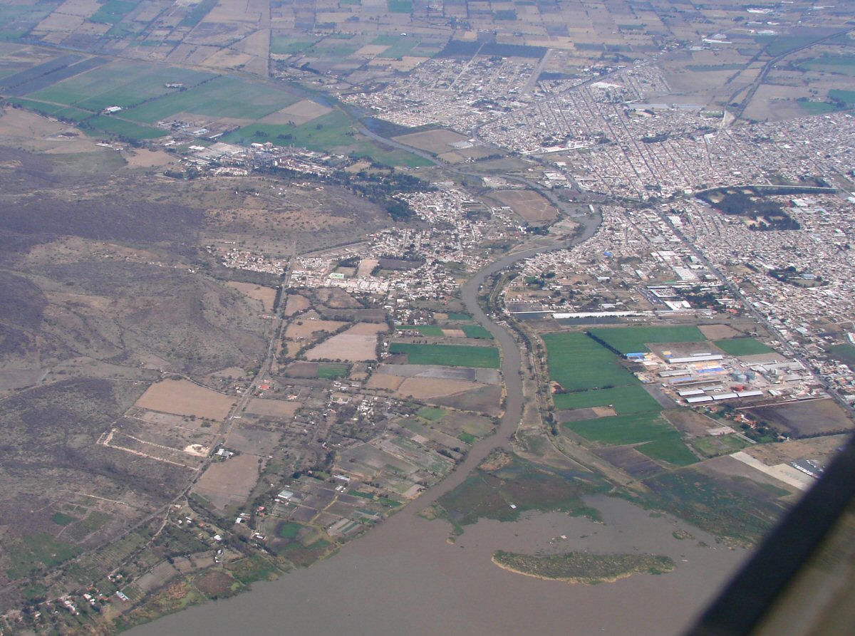
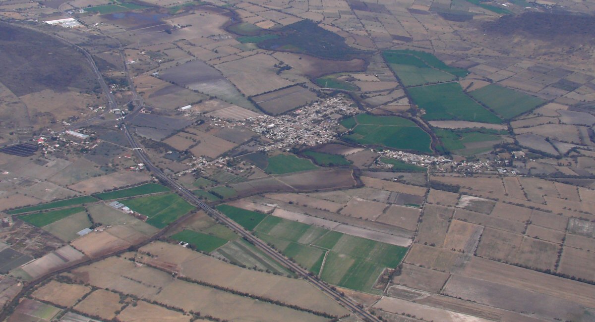
Río Los Sabinos and the city of Ocotlán
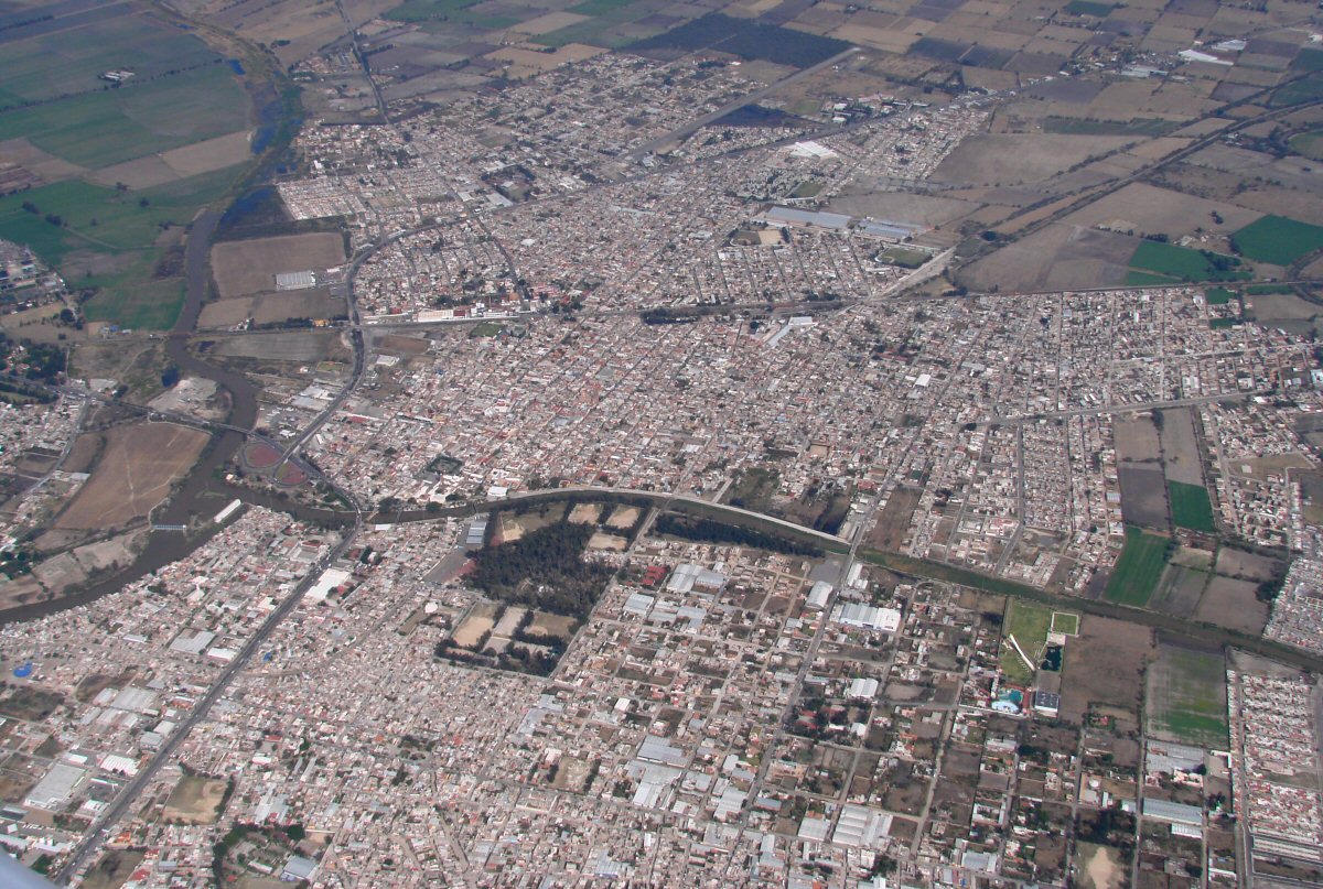
Ocotlán
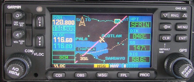
Here we go
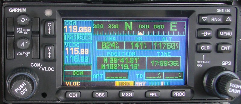
Where we are
San Martín de Zula
El Xoconoxtle
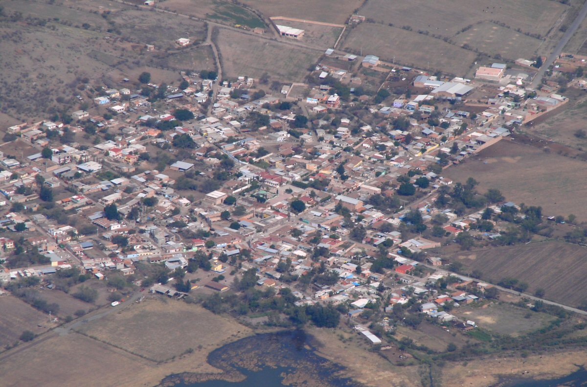
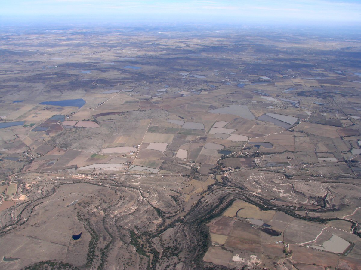
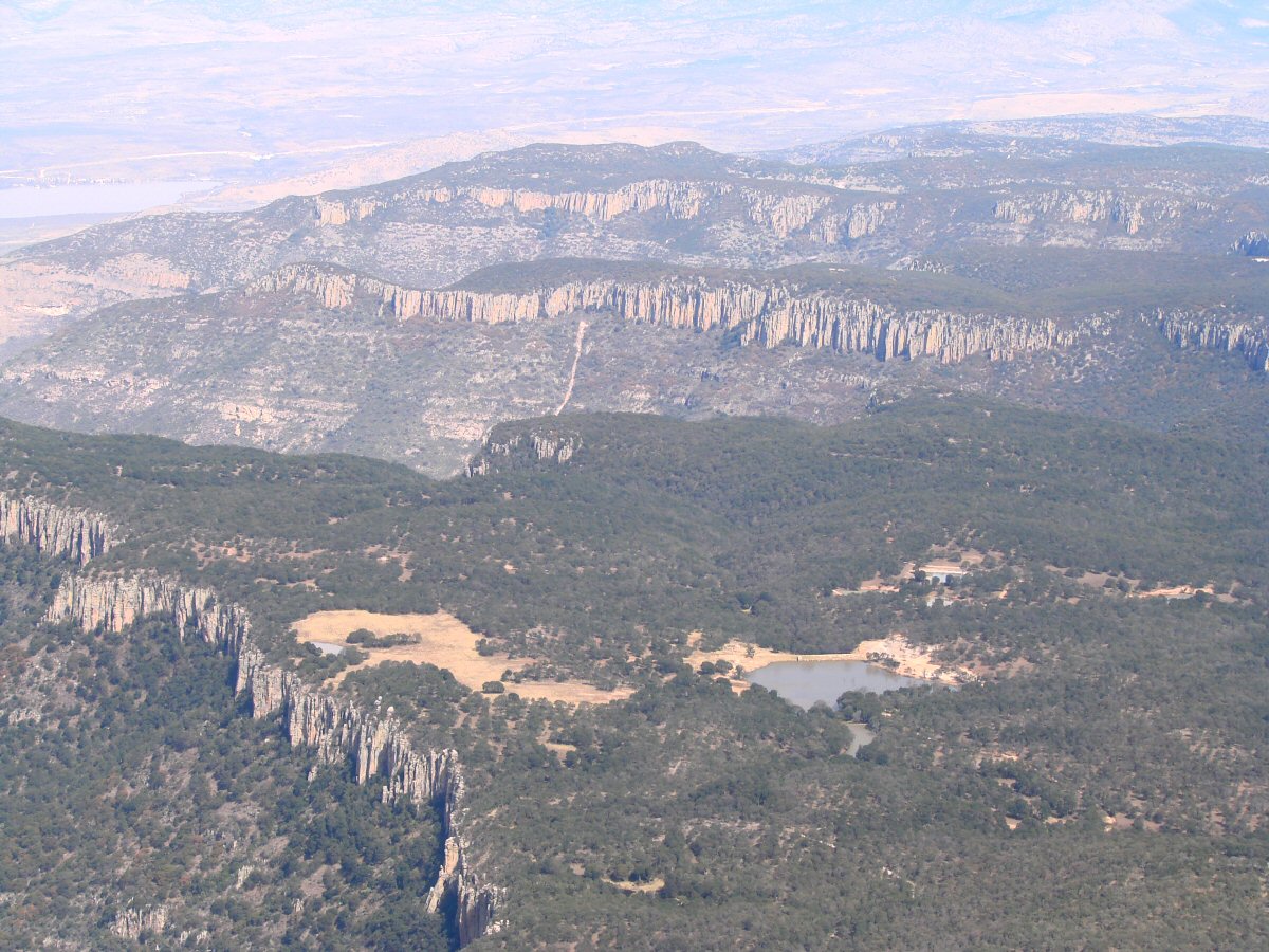
A closer look
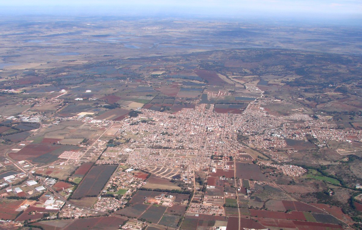
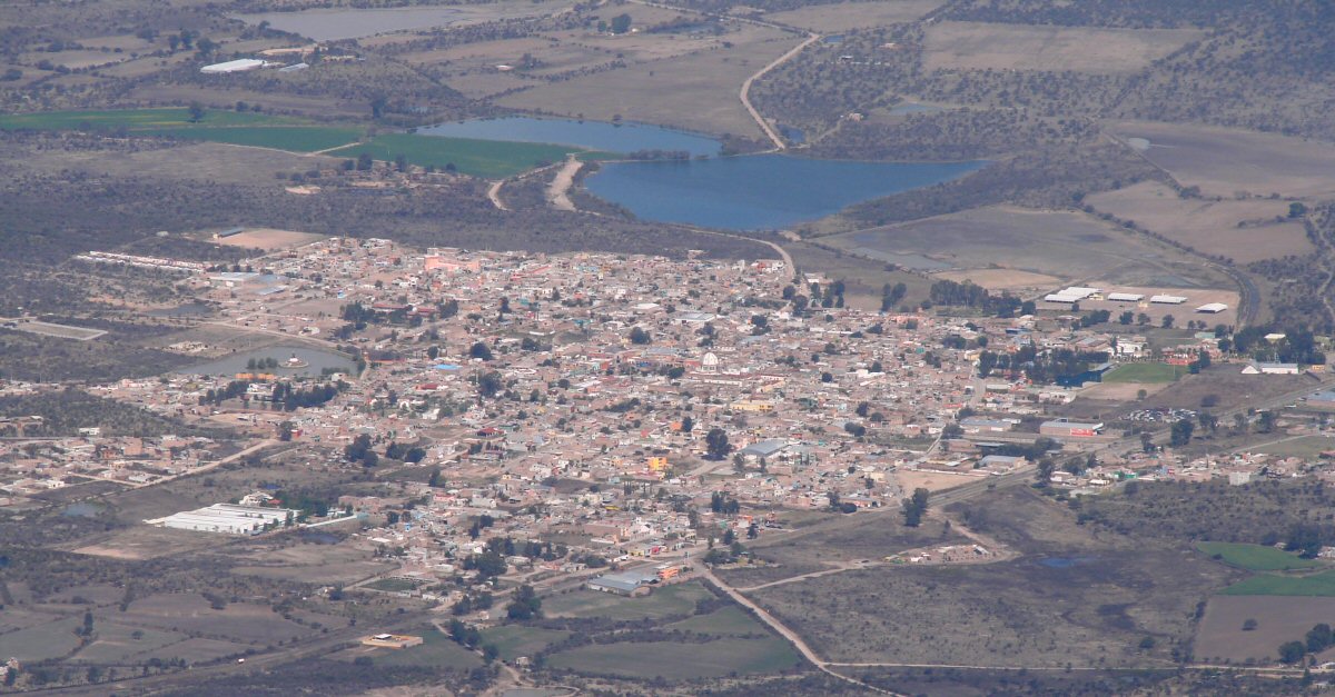
Arandas 1:15 into flight
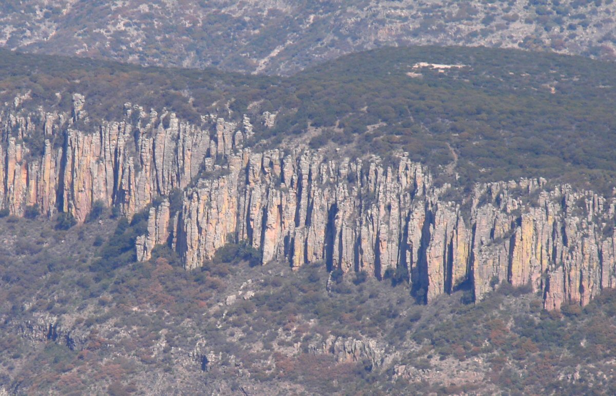
A closer look
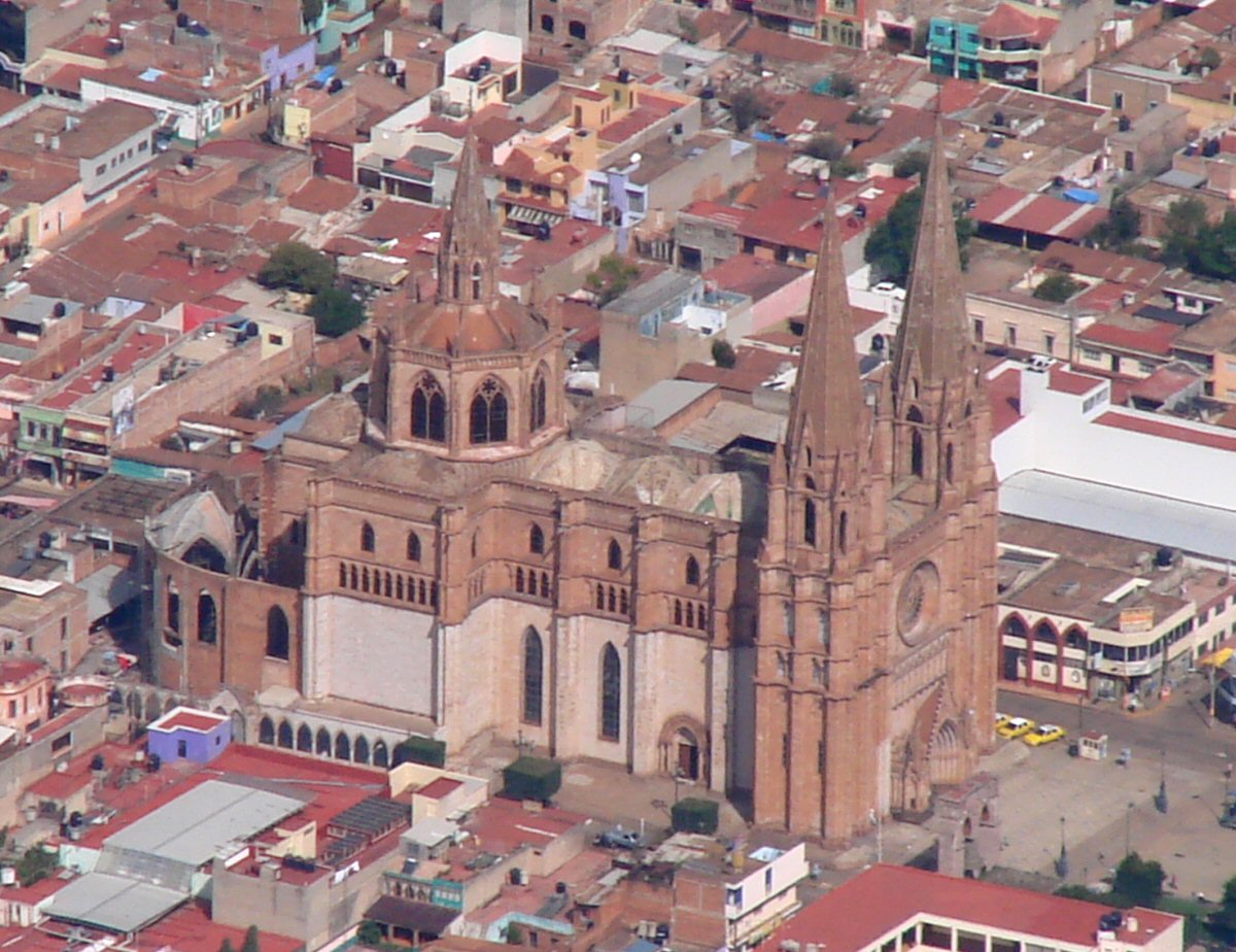
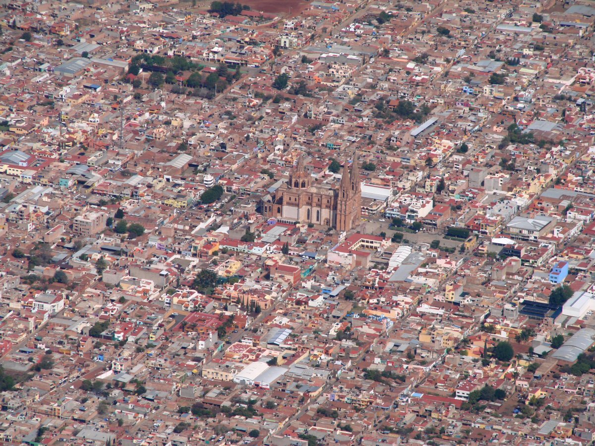
Detail
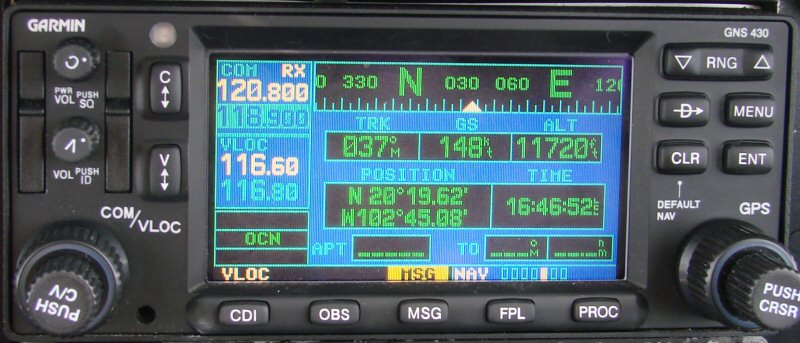
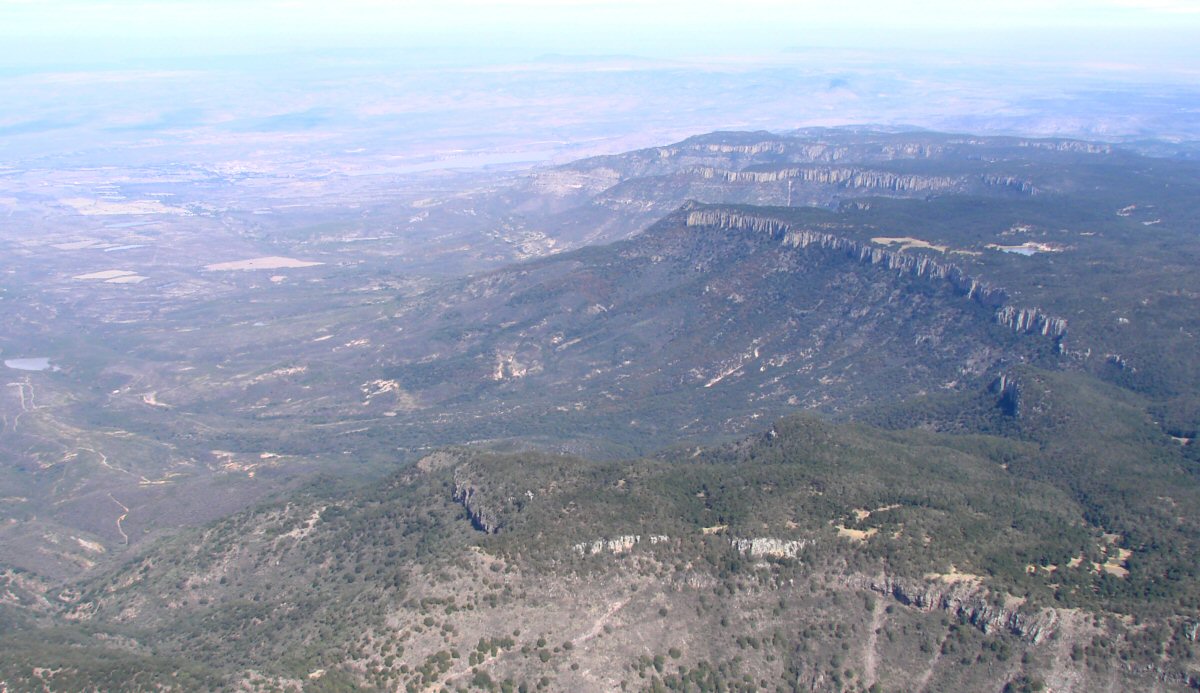
Are we there yet? 1:15 into flight
Look at the terrain in the lower part of the photo. It looks like a topographic map.
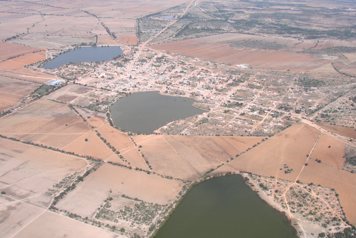
Unión de San Antonio 21.129°N 102.006°W 1:27 into flight
1:38 into flight
A closer look
Laguna de Guadalupe 21.80°N 101.36°W, 1:50 into flight
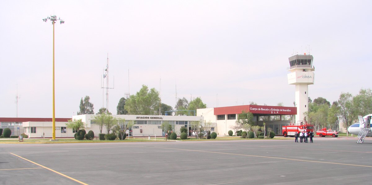
General aviation area at San Luis Potosi
Return to Flight to Manzanillo, Manzanillo to San Luis Potosi