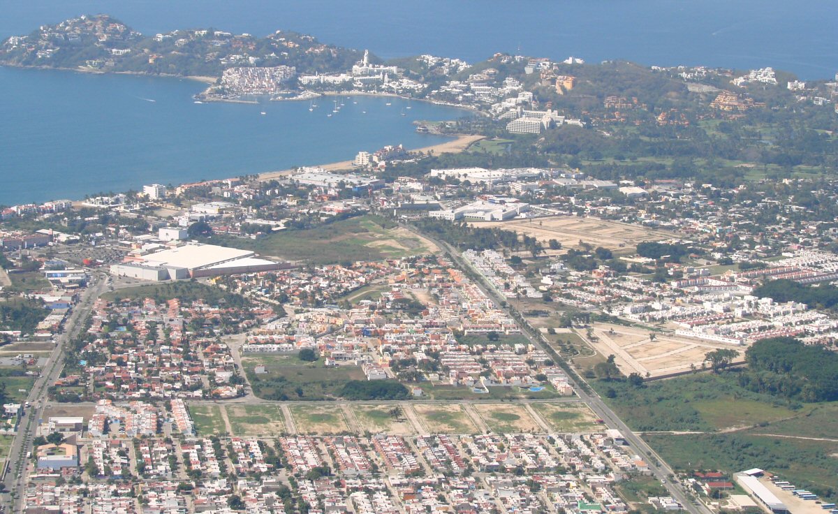
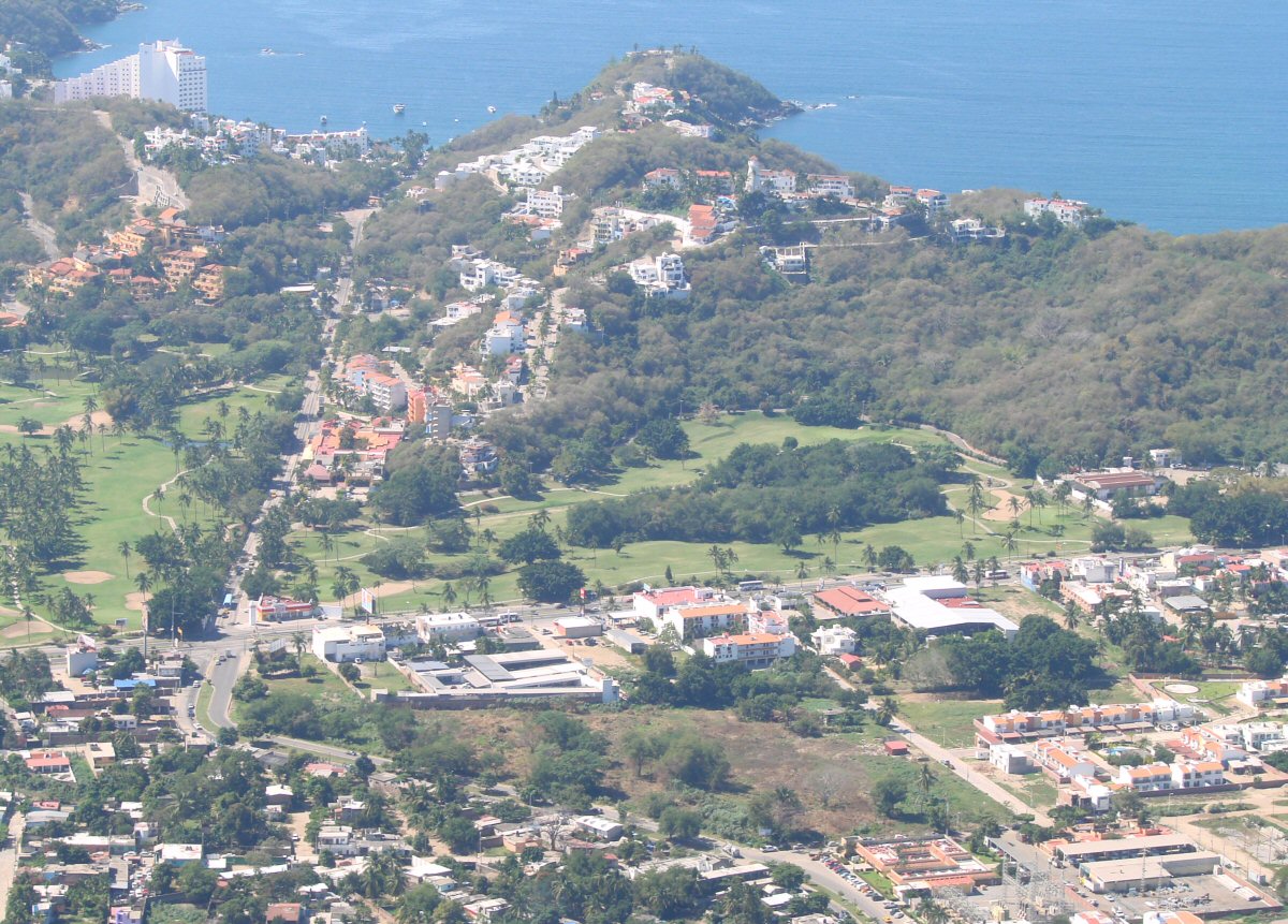
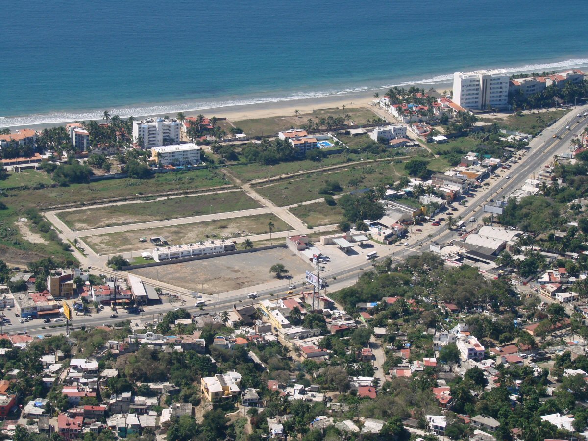
Santiago Peninsula in background
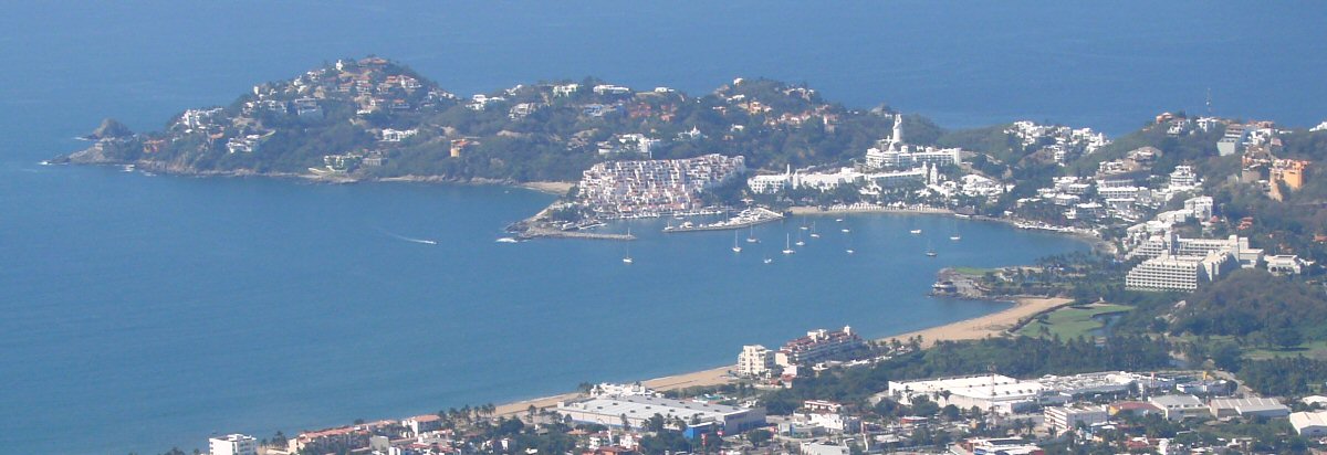
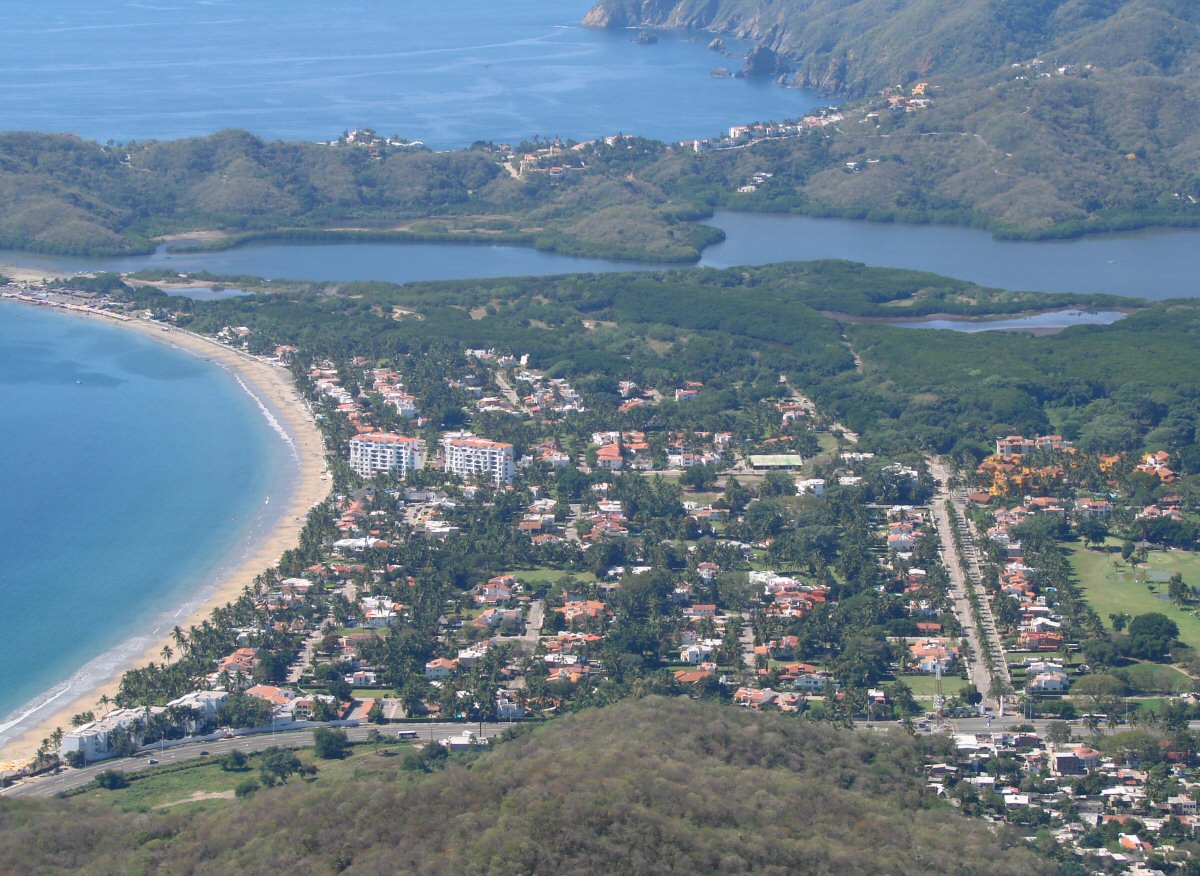
Santiago Peninsula
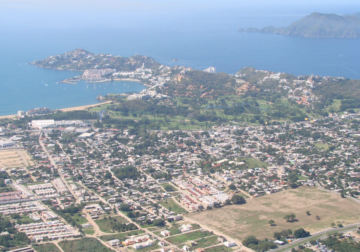
Santiago Peninsula
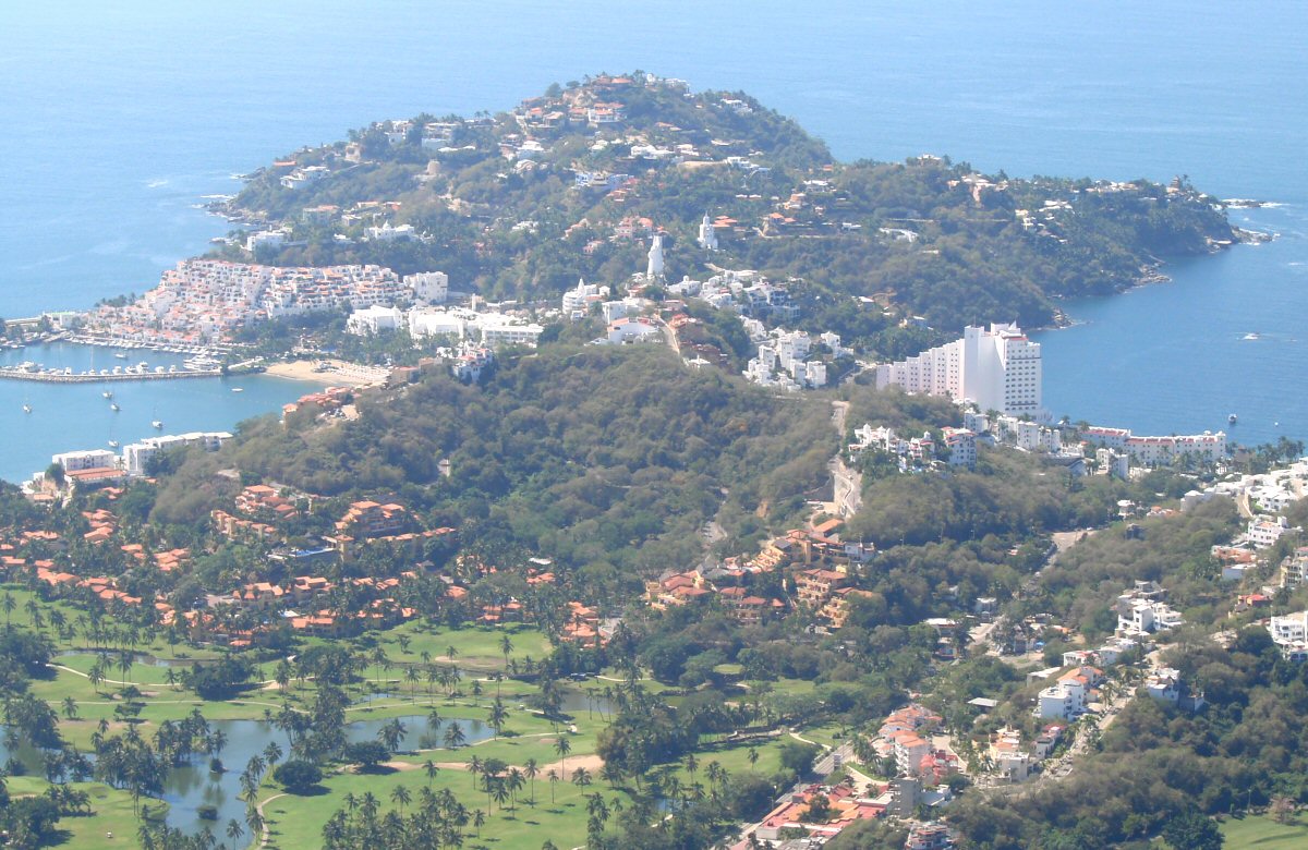
Santiago Peninsula
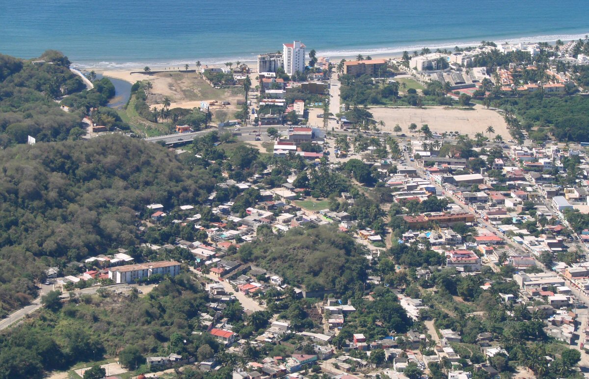
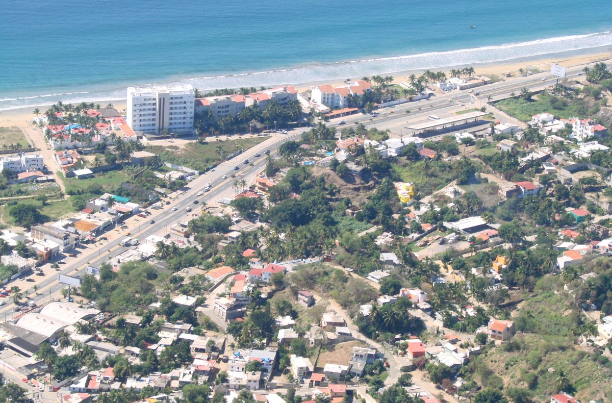
Playa Olas Altas
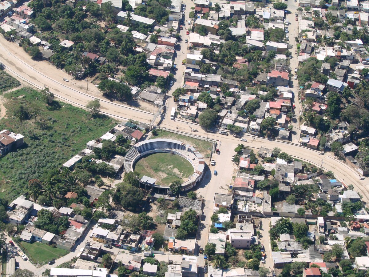
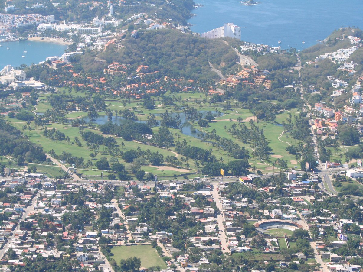
Bull ring
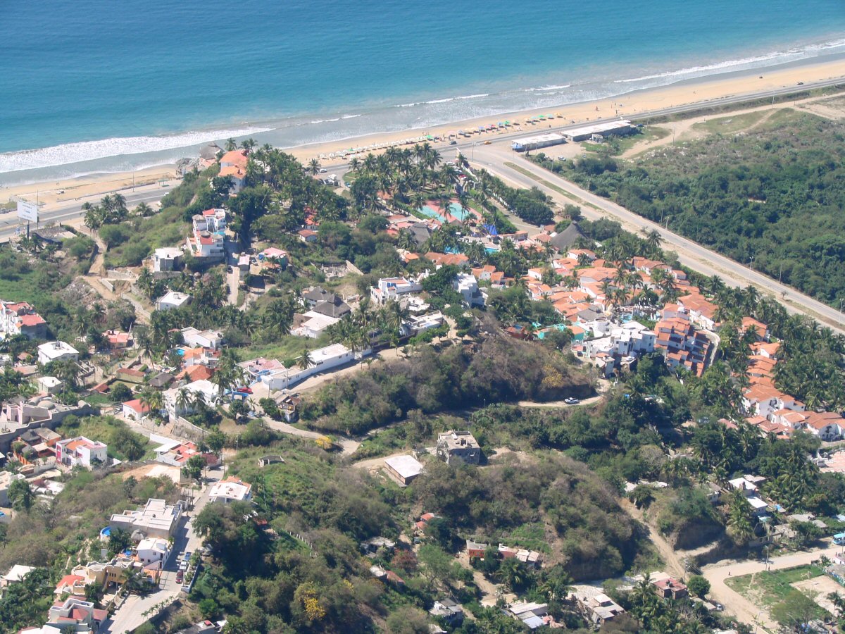
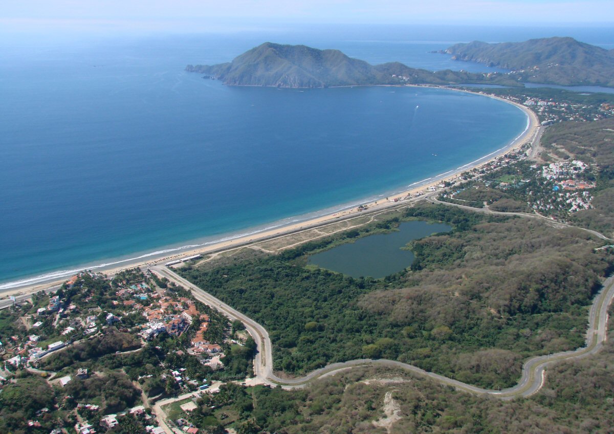

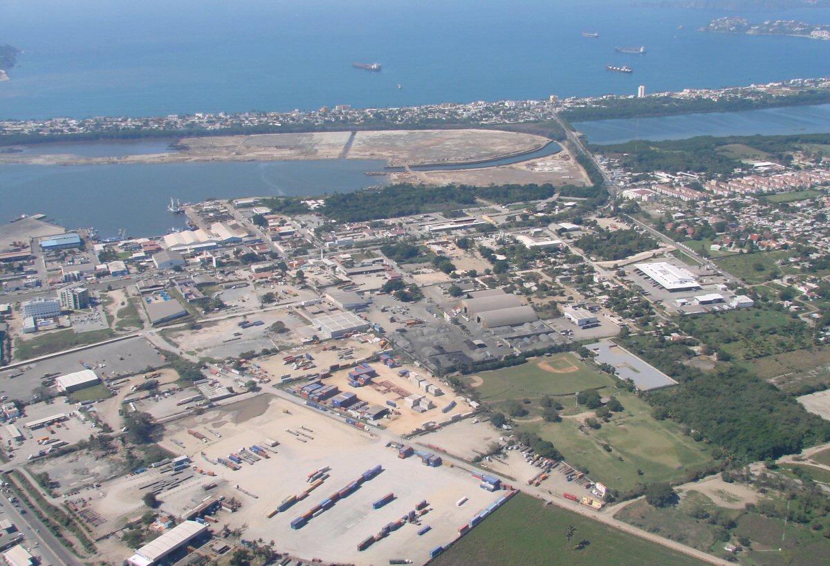
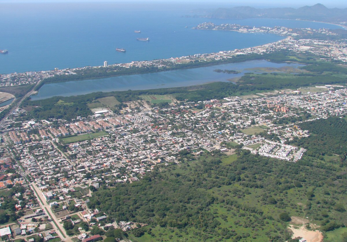
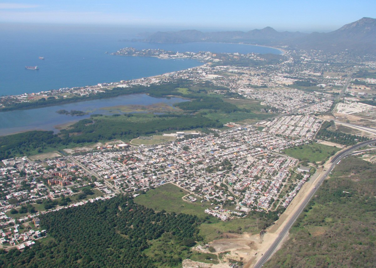
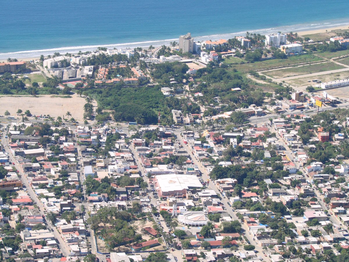
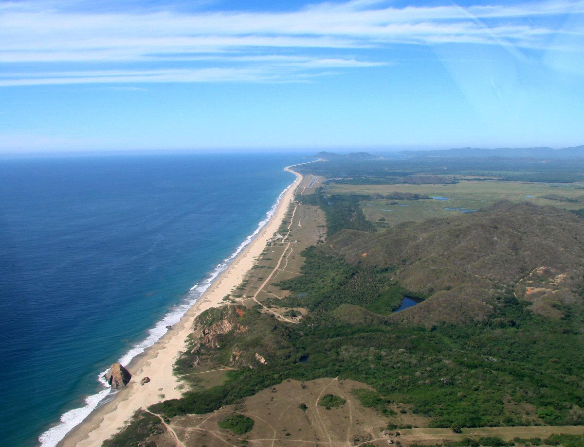
Playa La Boquita and Laguna de Juluapan
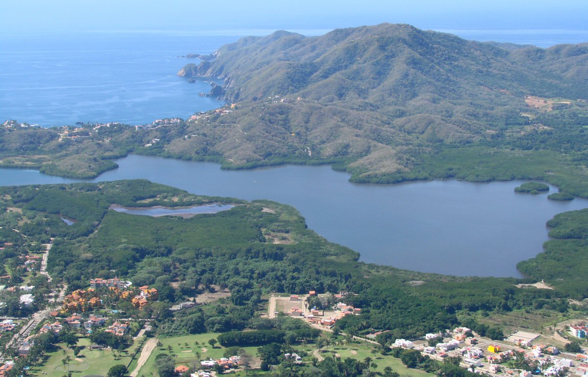
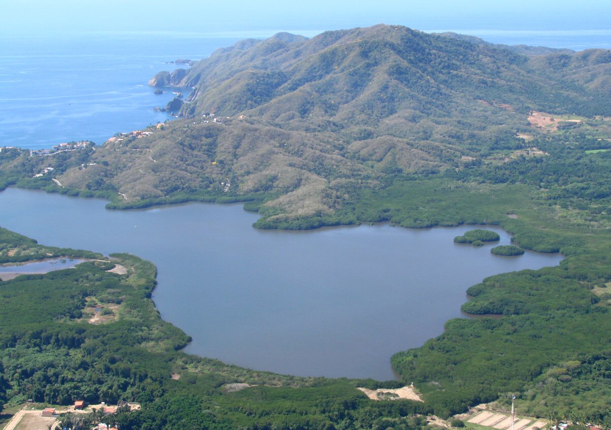
Laguna de Juluapan
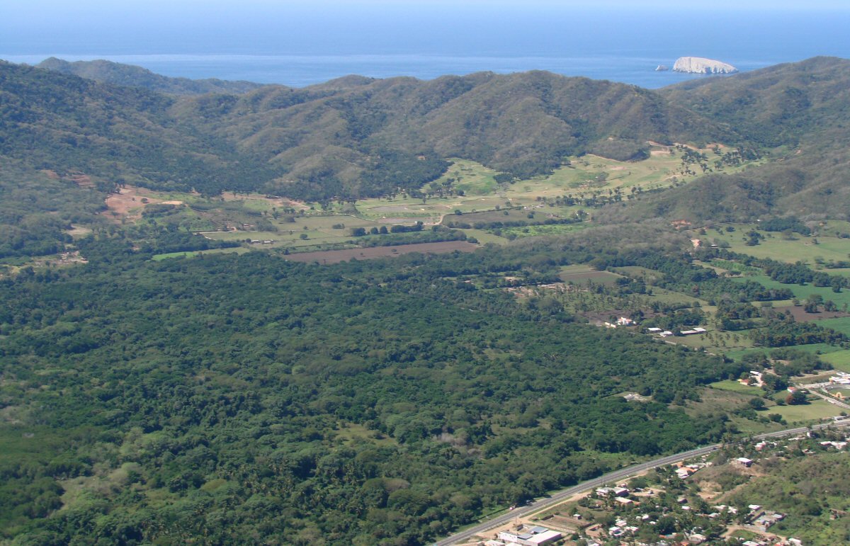
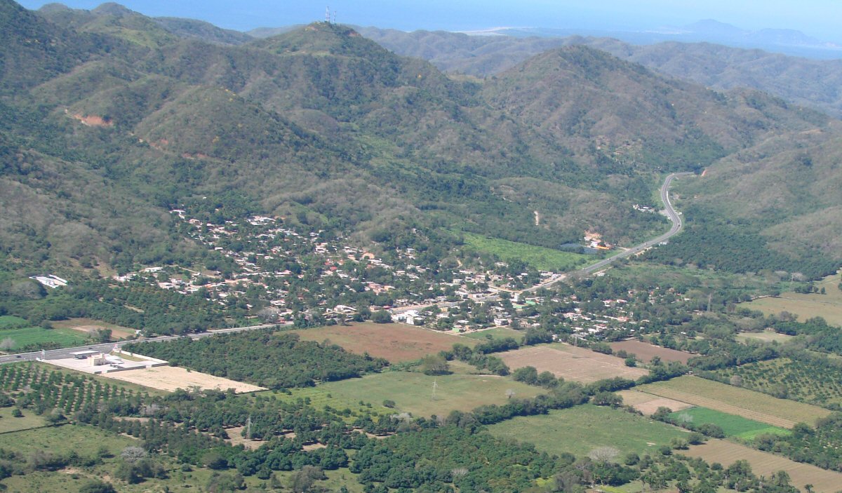
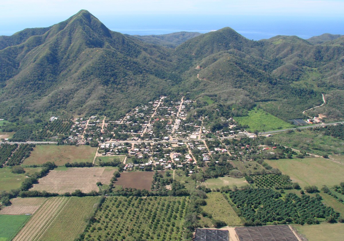
Coastal highway 200 winds through foothills
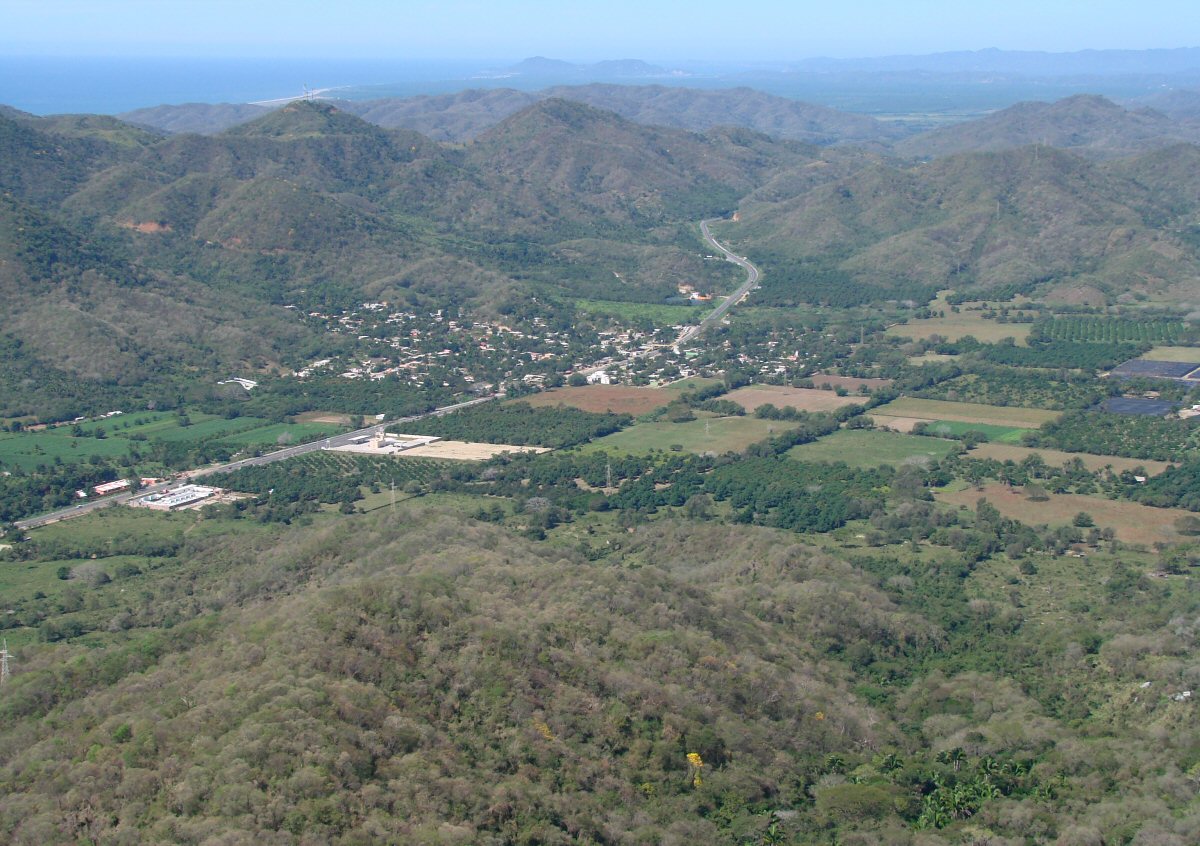
La Central, on highway 200 between Manzanillo and the airport
La Central
Arriving at Playa de Oro Airport on a long final approach to Runway 28.