Home >> Oaxaca >> Huatulco >> Flight to Huatulco >> Huatulco to Tampico >> More Photos

More Photos

Huatulco to Tampico:
Pico de Orizaba

Return to Huatulco to Tampico

Main Index
Huatulco, Oaxaca
Flight to Huatulco
Huatulco to Tampico
Huatulco International Airport
Map of Huatulco
Aero Vega Flight
Gear-up Landing at P.E.
Transportation
Telephone Numbers
Colima Weather
Jalisco Weather
Oaxaca Weather
Visitors' Comments
AboutHomeSearch

Page 1:   Santa María Huatulco and Pluma Hidalgo
Page 2:   Espinazo del Diablo and San Pedro del Alto
Page 3:   San Miguel Suchixtepec
Page 4:   Pico de Orizaba
Page 5:   Arriving at Tampico


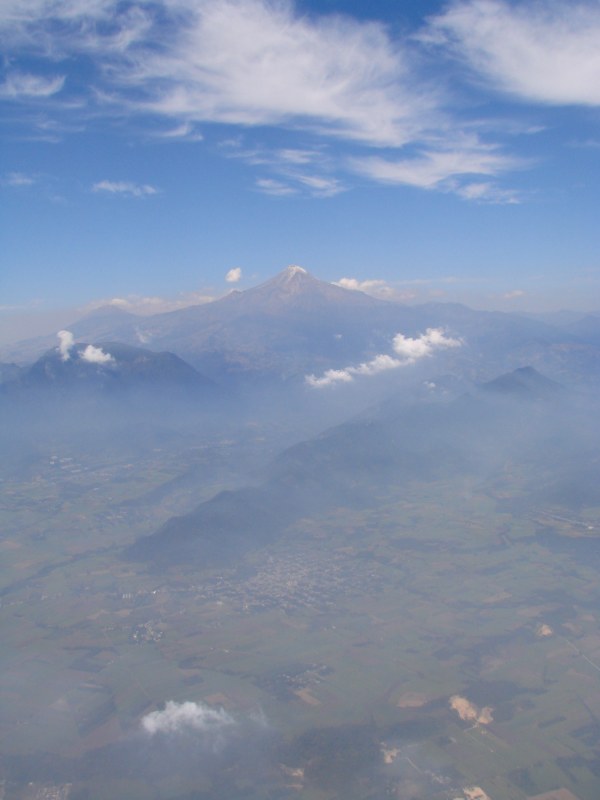
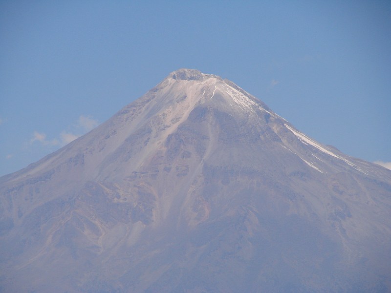
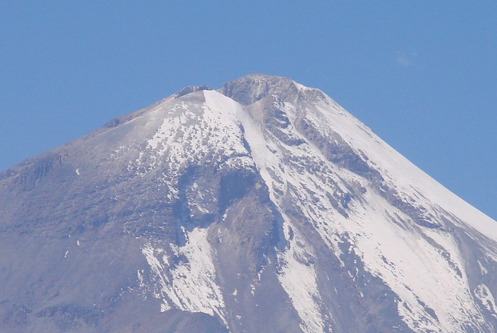
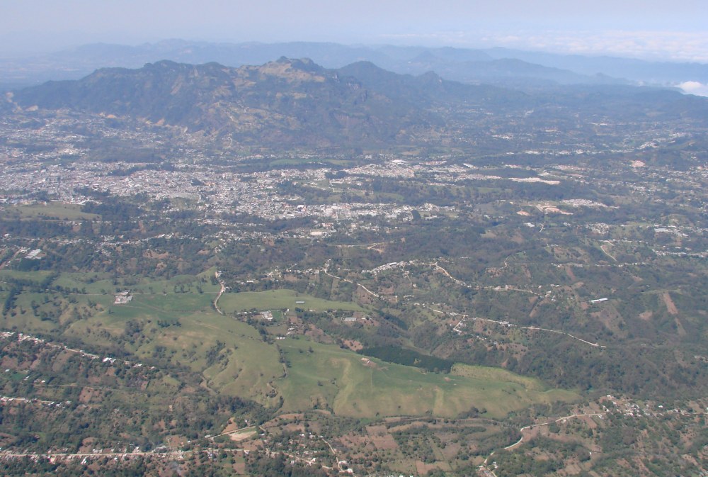
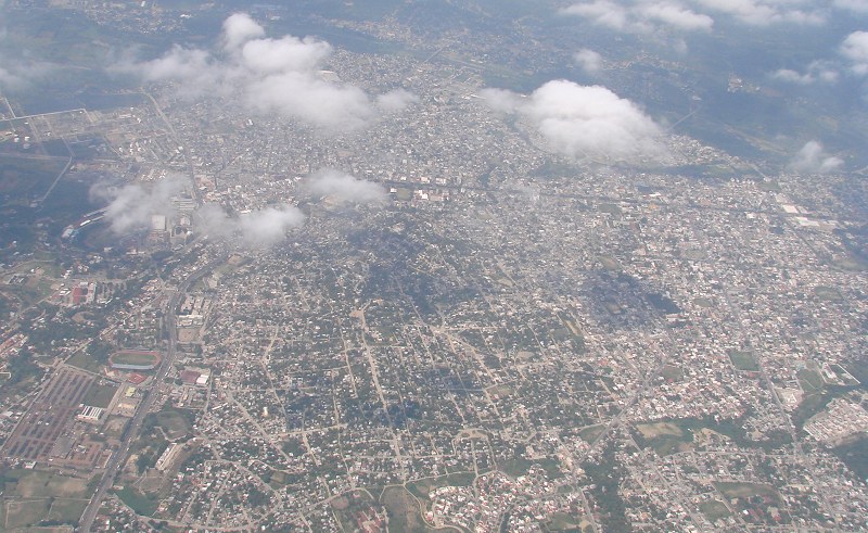
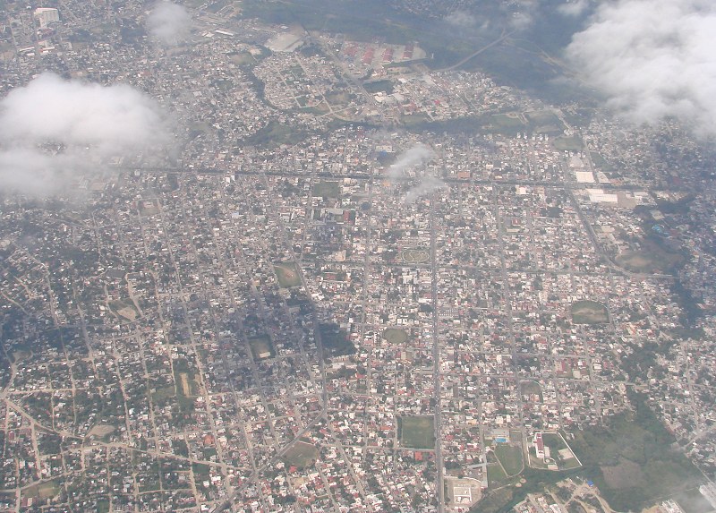
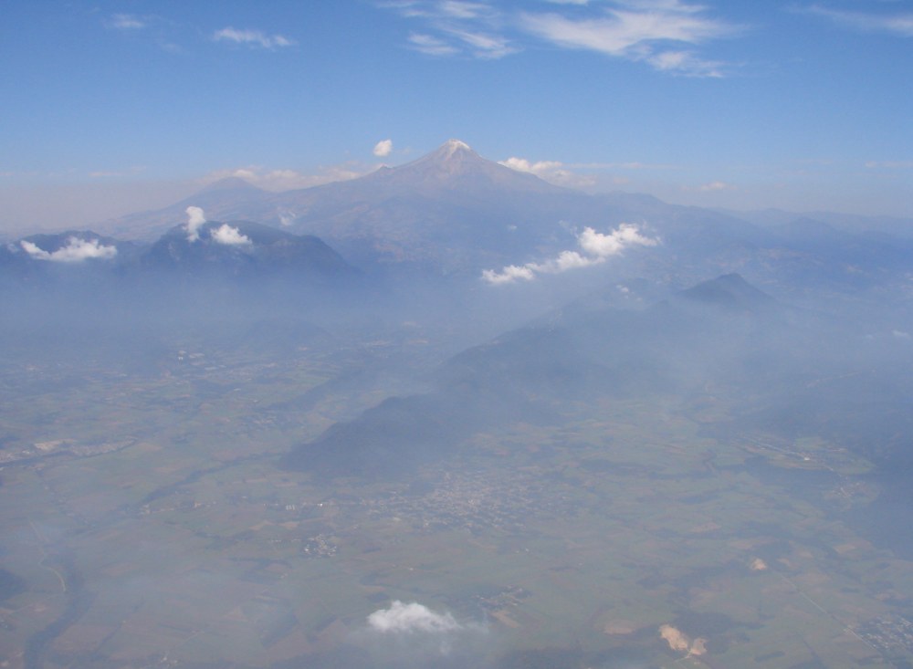
Pico de Orizaba at 18,400', 200 NM into the flight, is the halfway point between Huatulco and Tampico. It is the tallest mountain in Mexico and the 3rd tallest in North America. Even though it is in a tropical location, its peak is normally capped in snow. It's size dwarfs the other mountains and it is plainly visible even from jetliners. The city of Orizaba is in the foreground. The photo was taken from 30 miles away from the volcano. Orizaba is dormant but not extinct. There have been 7 eruptions in recorded history, the last in 1687.


It's a nice day for flying.


Being able to see into the crater gives the impression that we are above the volcano. We are not. Our airplane cannot even fly that high.


The crater of Pico de Orizaba from 15 miles away.


Tezuitlán, Puebla, just before dropping back off into the (gulf) coastal plains.


Leaving the high plateau for the (gulf) coastal plains.


Not much to look at now. That stuff on the windshield is grease that has exited the prop hub.


Poza Rica


Poza Rica


Poza Rica Airport

Page 1:   Santa María Huatulco and Pluma Hidalgo
Page 2:   Espinazo del Diablo and San Pedro del Alto
Page 3:   San Miguel Suchixtepec
Page 4:   Pico de Orizaba
Page 5:   Arriving at Tampico

Return to Huatulco to Tampico


| Top of page | Flight to Huatulco | Main index | Search | What's new |