Home >> Oaxaca >> Huatulco >> Flight to Huatulco >> Photographing the Playas >> Playas of Oaxaca

Cuatonalco

Playas of Oaxaca - Aerial Photos

Return to Flight to Huatulco

Main Index
Huatulco, Oaxaca
Flight to Huatulco
Huatulco International Airport
Puerto Angel
Zipolite
Map of Huatulco
Transportation
Telephone Numbers
Oaxaca Weather
Visitors' Comments
AboutHomeSearch

< Playa Zapotengo | Cuatonalco | Playa Ixtapa >

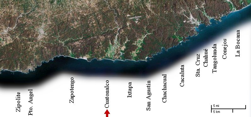
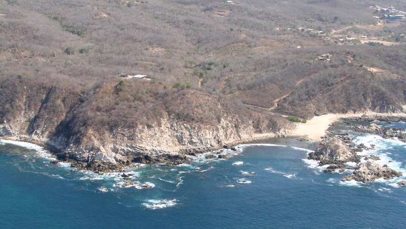
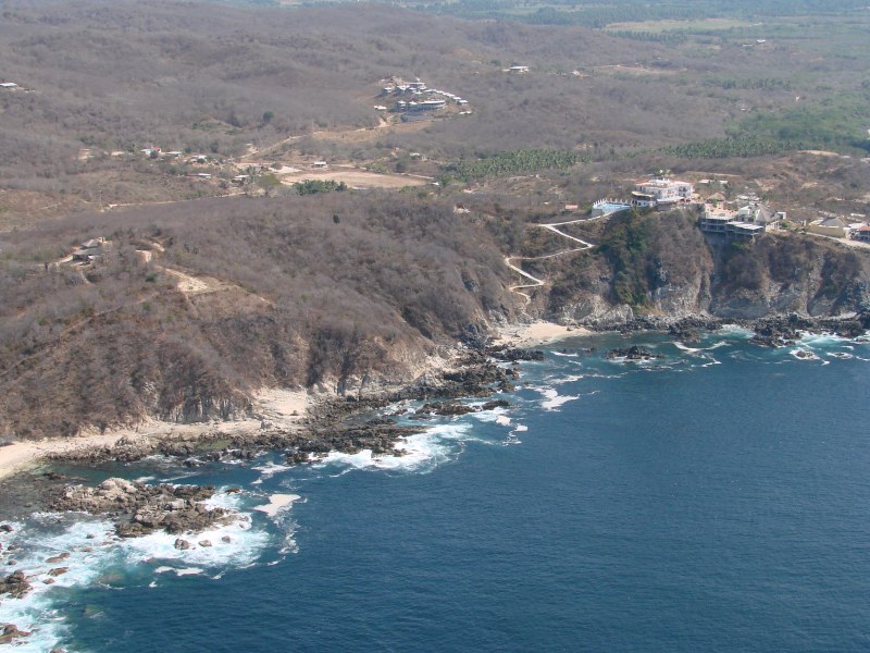
The photos on this page begin just east of Playa Zapotengo and continue to the east.


rocks and beaches just east of Playa Zapotengo


small beach west of Playa Cuatonalco comes into view

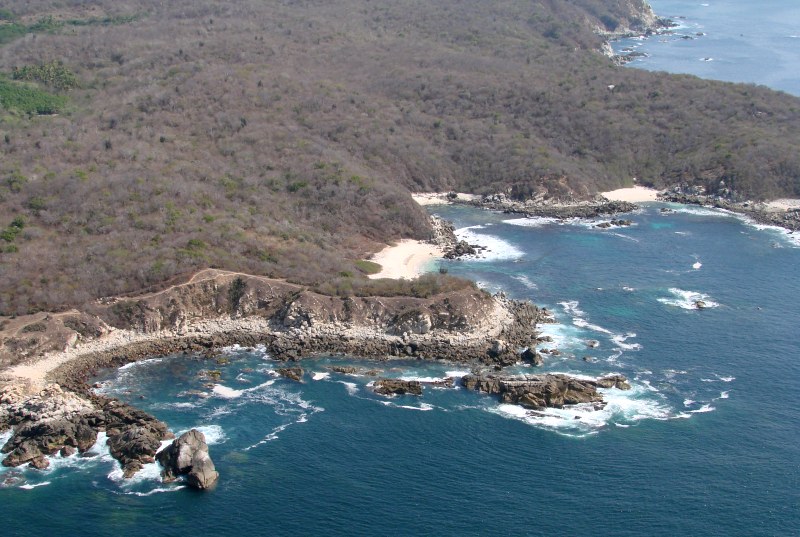
To reach this beach by land, follow the dirt road that intersects the coastal highway (200) at the Rio Coyula bridge 4 miles west of the Huatulco airport. The beach faces directly onto the ocean so can be very dangerous for swimmers. The beach is about 1000 feet long and is composed of fine white sand.


beach west of Playa Cuatonalco


beach west of Playa Cuatonalco


development west of Playa Cuatonalco


west of Playa Cuatonalco


west of Playa Cuatonalco


hotel west of Playa Cuatonalco


same hotel


Río Coyula valley and Playa Cuatonalco


Río Coyula and Playa Cuatonalco

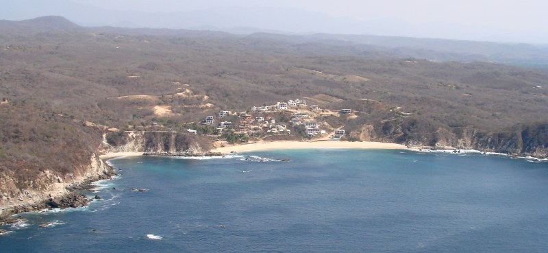
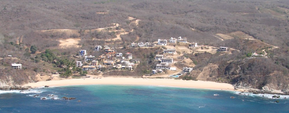
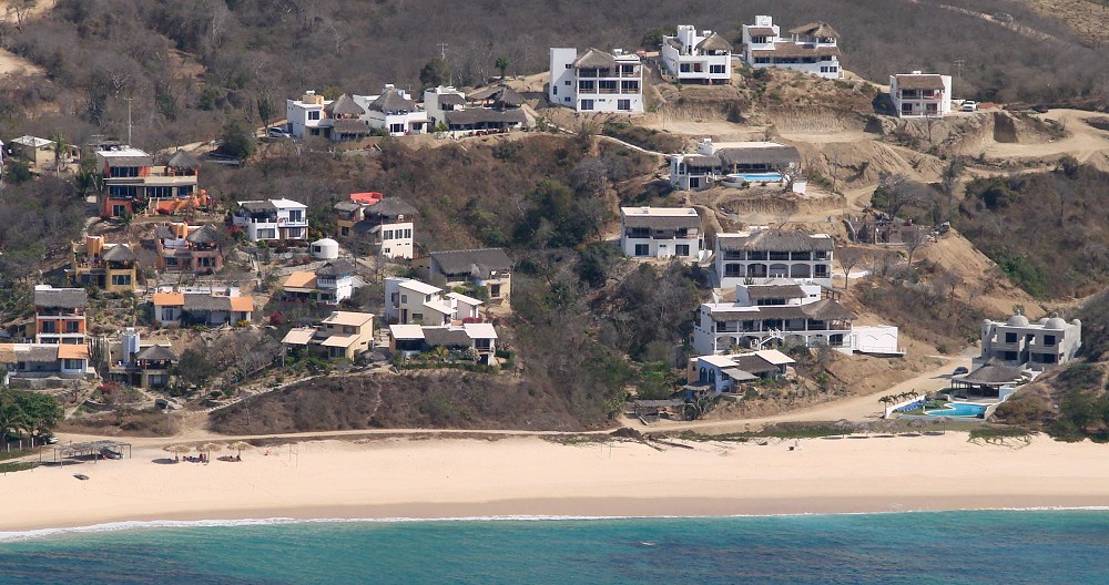
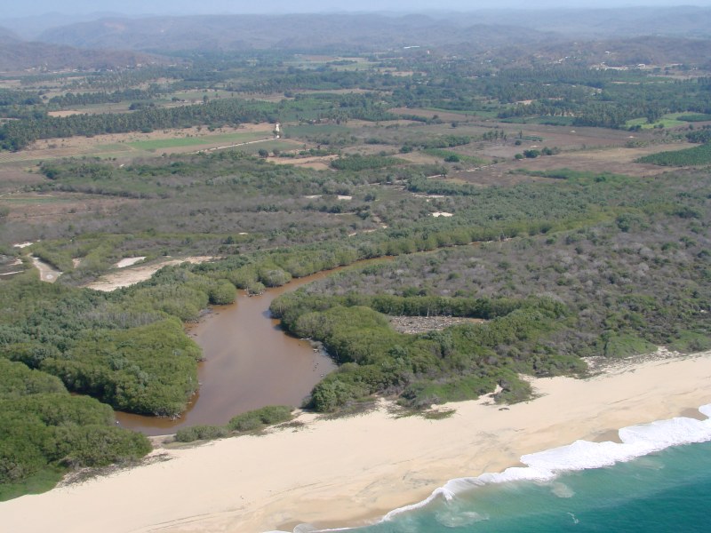
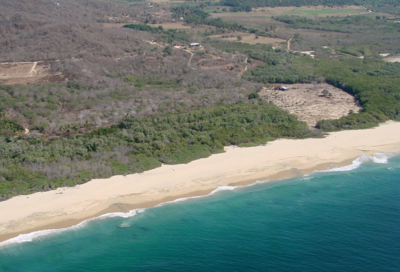
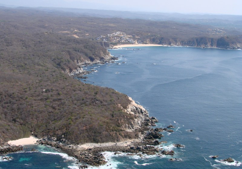
To reach Playa Cuatonalco by land, follow the dirt road that intersects the coastal highway (200) at the Rio Coyula bridge 4 miles west of the Huatulco airport. The beach faces directly onto the ocean so can be very dangerous for swimmers. The beach is about 1 mile in length and is composed of fine white sand.

< Playa Zapotengo | Cuatonalco | Playa Ixtapa >


| Top of page | Photographing the Playas | Main index | Search | What's new |