Laguna de ChacahuaPlayas of Oaxaca - Aerial PhotosReturn to Flight to Puerto Escondido
|
|
|
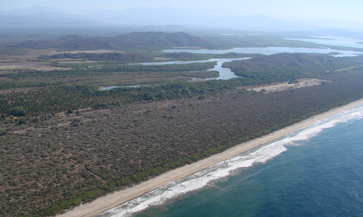
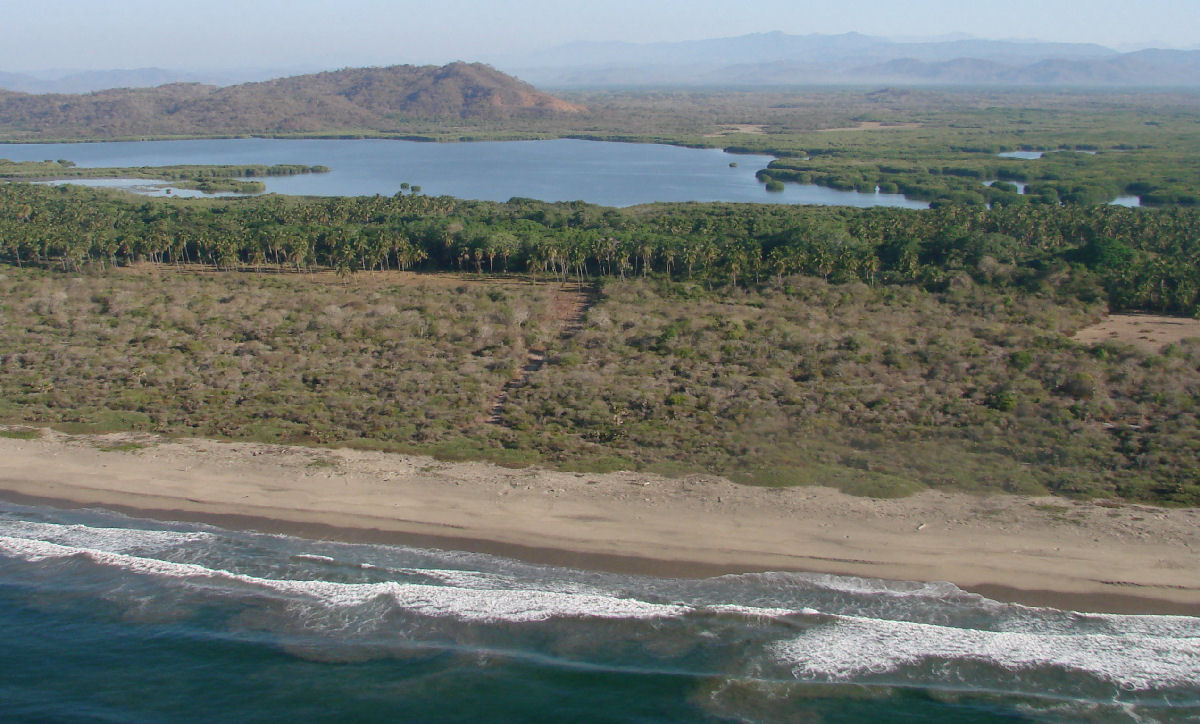
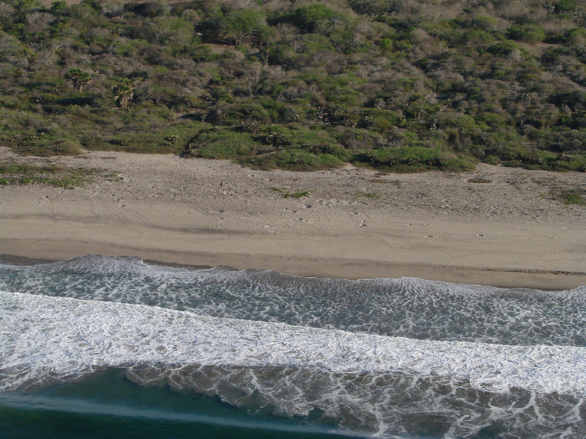
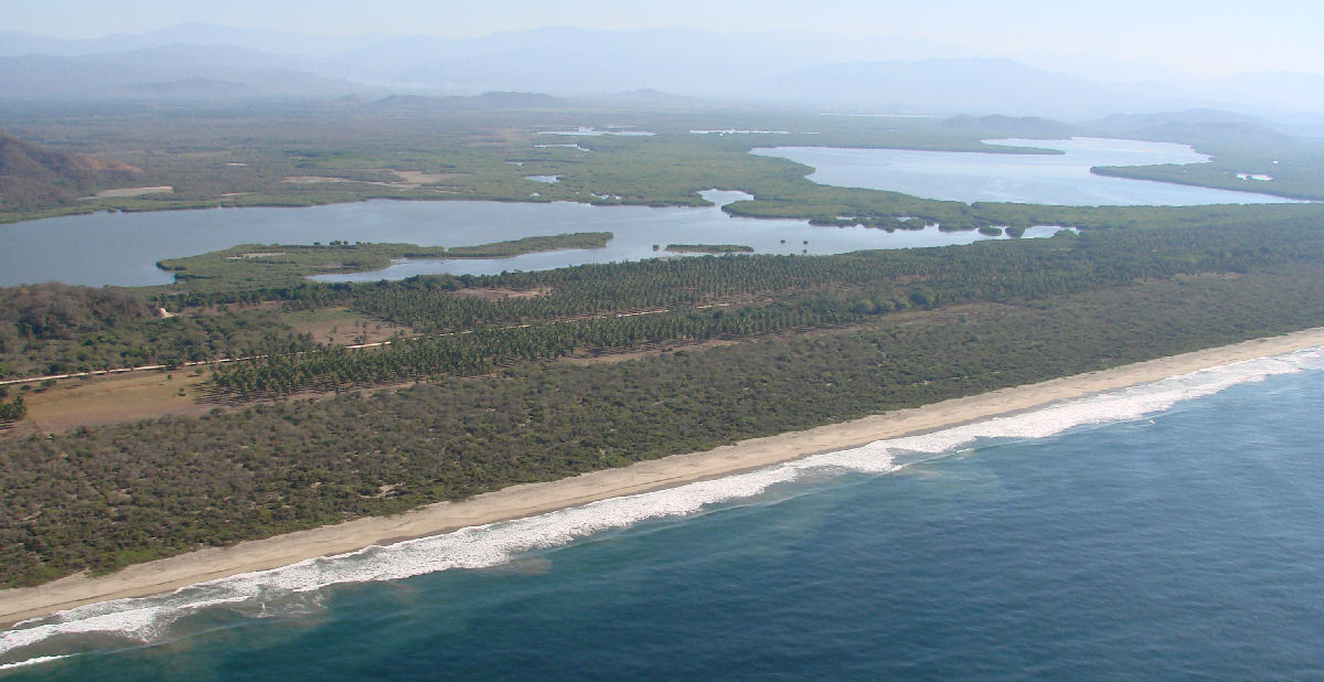
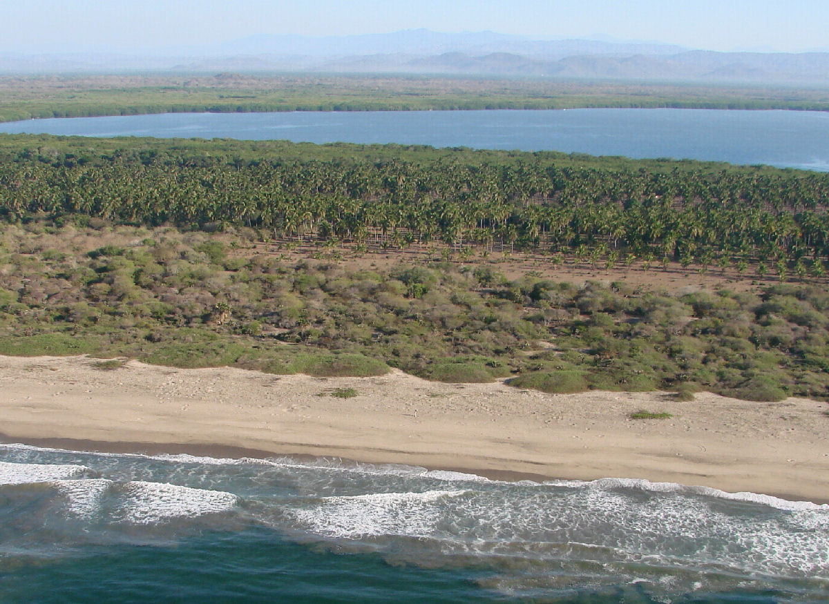
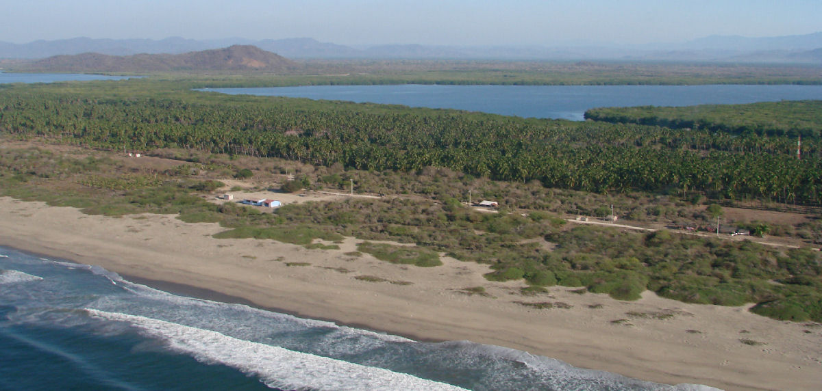
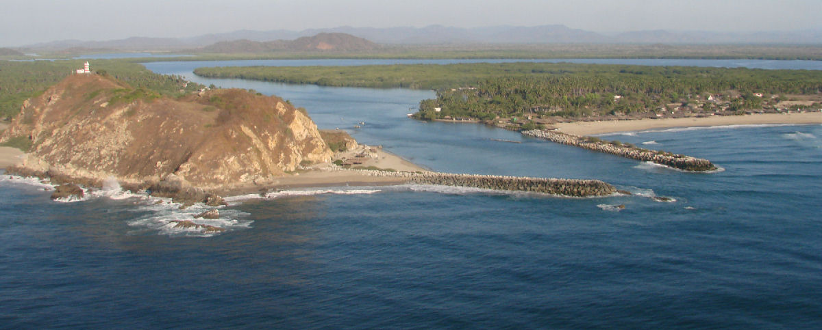
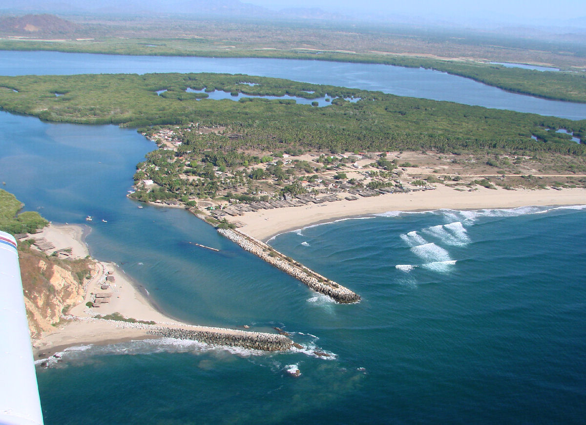
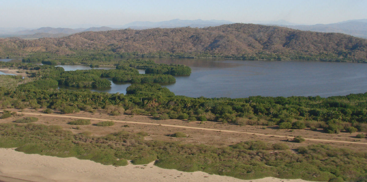
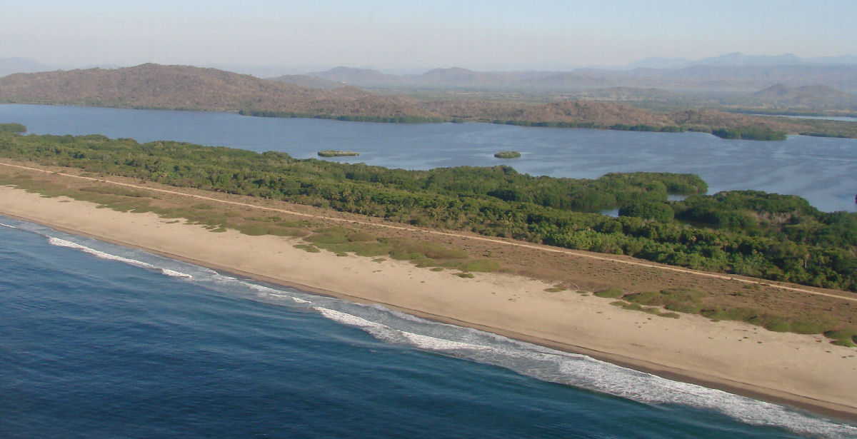
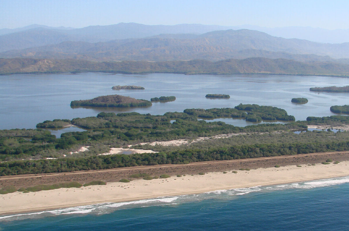
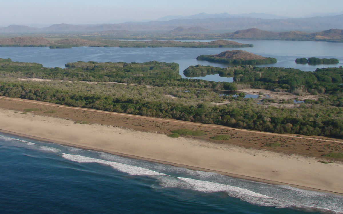
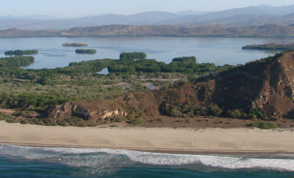
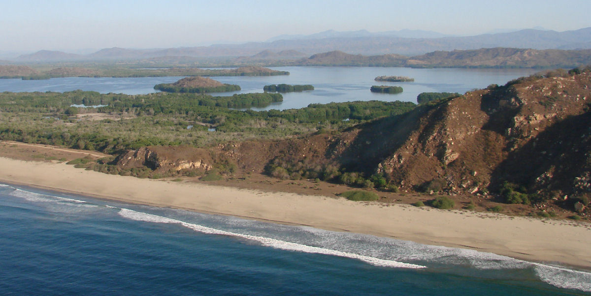
| Lagunas de Chacahua National Park is located 41 miles west of Puerto Escondido or 51 miles east of Pinotepa Nacional at coastal highway marker km 82. It is 54.8 square miles (14,187 hectares) in size and encompasses 20 miles of open-ocean shoreline and jungle lagoons. Web Site: www.lagunasdechacahua.com. There are five towns located within the park: Chacahua (accessed by boat), El Azufre, Zapotalito, Charco Redondo, and El Corral (on an island). The park's administrative center is located in Tututepec. Fishing is strictly licensed. There are numerous species of fish and wildlife. Crocodiles are being restored to the area by a hatchery at Chacahua village on Laguna Chacahua. Bird life includes pelicans, herons and cormorants. Excursions by boat are available from Zapotalito, which is the only easy access point to the Lagunas de Chacahua. There are a number of islands in the lagoons that are suitable for camping and wildlife viewing during the dry months. You can have a boatman drop you off and pick you up later. Playa Hermosa is a good place for snorkeling. The 18-mile dirt road from San José del Progreso to Chacahua is very rough and usable in the dry season only. Check the road conditions before attempting this trip. Hotel Siete Mares, on the west side of the village, has rustic bamboo cabañas, cabins, a small restaurant, showers, and is close to a beach. Playa Chacahua is a 10-mile long beach, suitable for snorkeling and fishing, and surfing on the west end. |
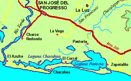 Laguna Chacahua area |